File list
Jump to navigation
Jump to search
This special page shows all uploaded files.
| Date | Name | Thumbnail | Size | User | Description | Versions |
|---|---|---|---|---|---|---|
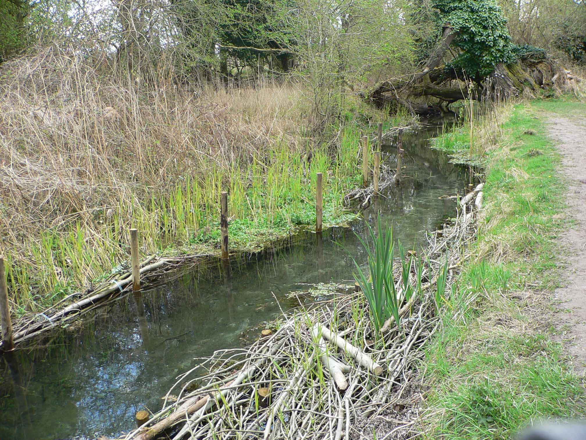
| 13:12, 17 August 2012 | Fowlmere brushwood and faggots.jpg (file) |  |
495 KB | R Vause | 1 | |
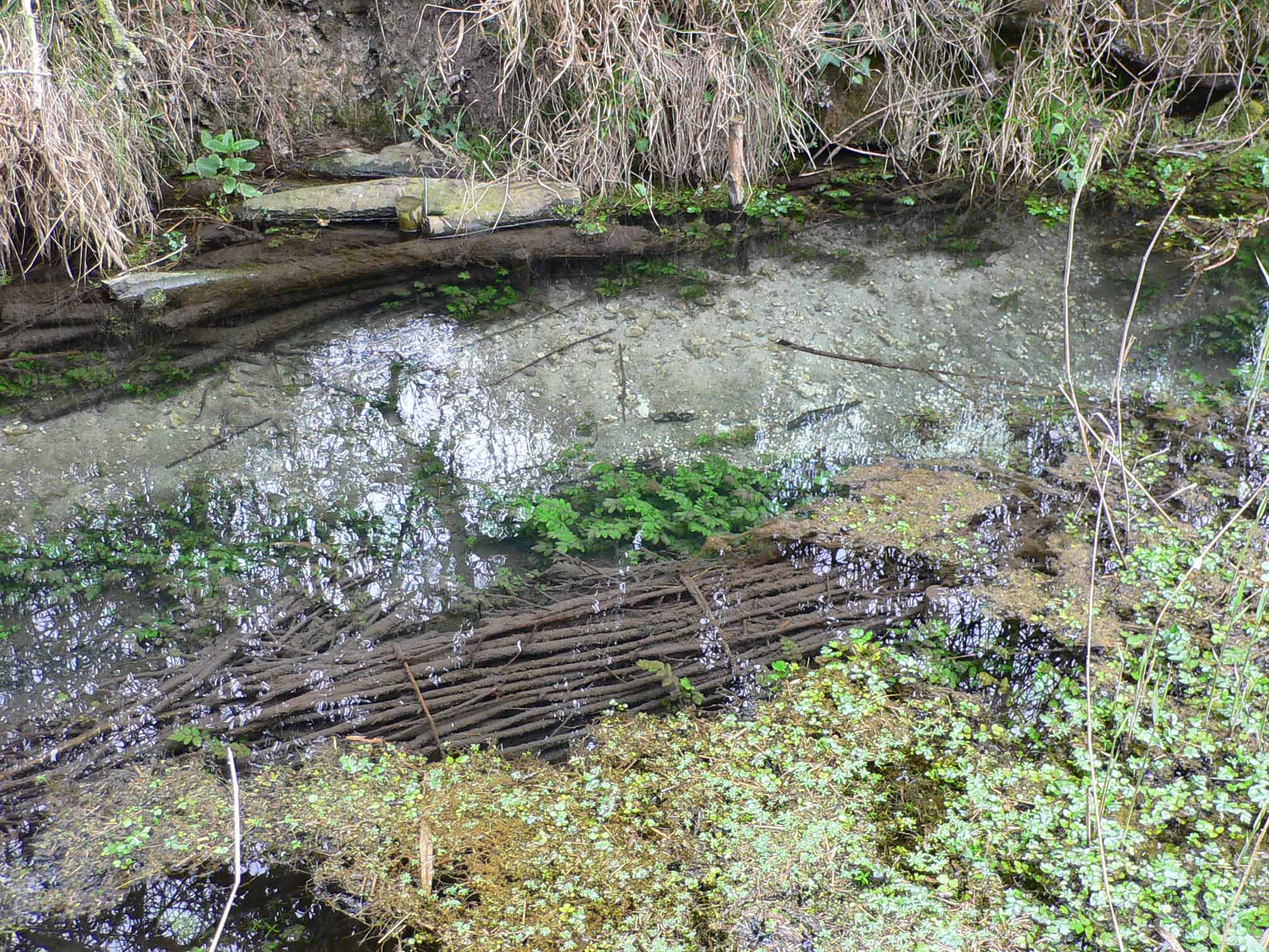
| 13:14, 17 August 2012 | Fowlmere narrowing the channel detail.jpg (file) |  |
525 KB | R Vause | 1 | |
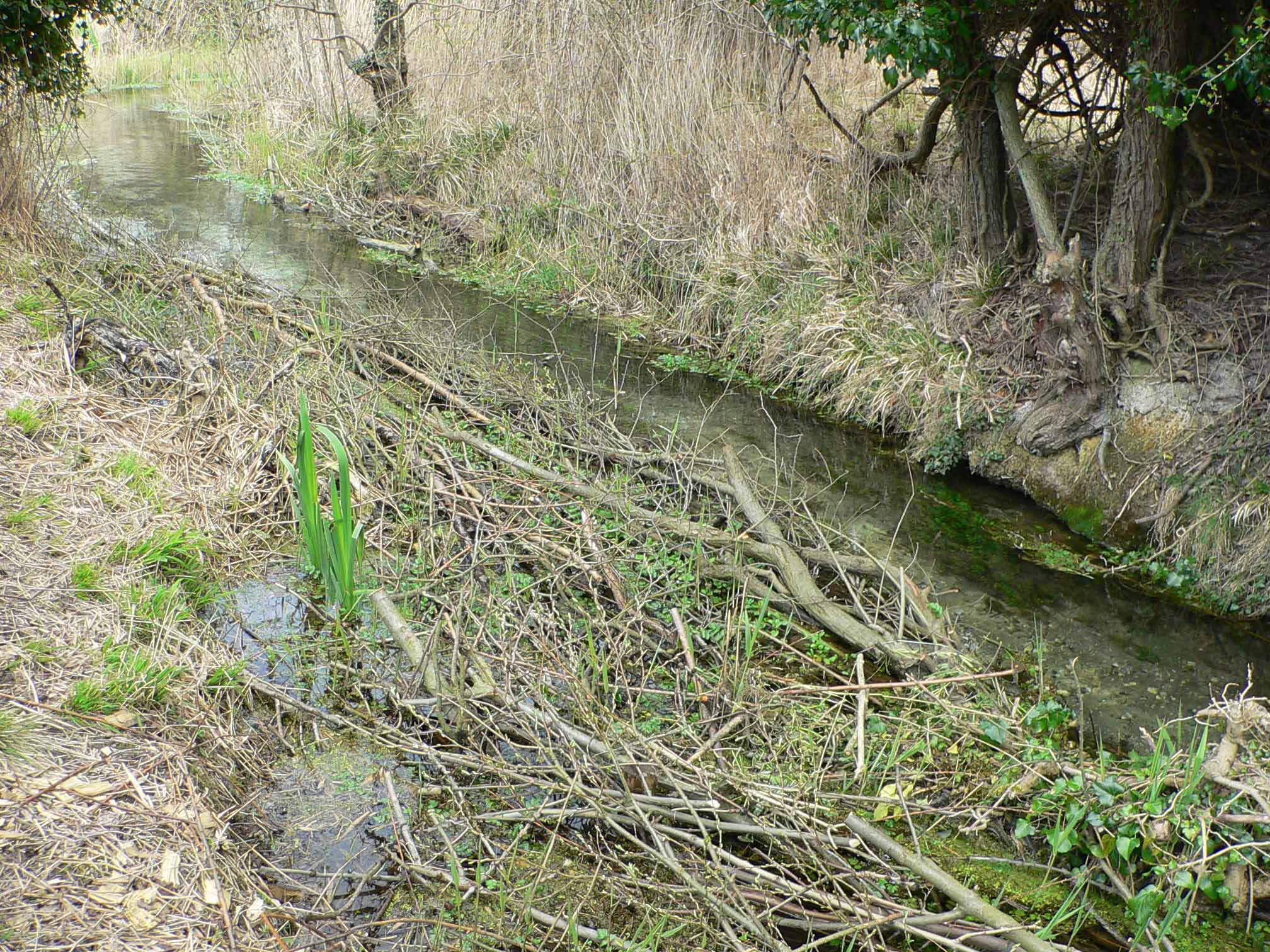
| 13:15, 17 August 2012 | Fowlmere narrowing the overwide channel.jpg (file) |  |
527 KB | R Vause | 1 | |
| 13:36, 17 August 2012 | 2009 10 14 (23).JPG (file) | .JPG) |
2.57 MB | R Vause | 1 | |
| 13:42, 17 August 2012 | 2009 10 14 (11).JPG (file) | .JPG) |
2.33 MB | R Vause | 1 | |
| 13:43, 17 August 2012 | 2009 10 14 (16).JPG (file) | .JPG) |
2.38 MB | R Vause | 1 | |
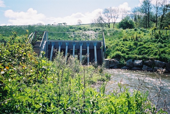
| 13:55, 17 August 2012 | P5110148.JPG (file) |  |
243 KB | Mattleeson | One of the five weir structures to be lowered during the project - pre-works. Courtesy of Wild Trout Trust and the Environment Agency. | 1 |
| 14:49, 17 August 2012 | EASTCHISENBURY1.jpg (file) |  |
154 KB | Mattleeson | Trial restoration site - 4 years on. Courtesy of Cain Bio-Engineering. | 1 |
| 15:23, 17 August 2012 | KENTCHURCHWEIR1.jpg (file) |  |
848 KB | Mattleeson | The 2 metre high Kentchurch Weir, prior to removal. Courtesy of Atkins. | 1 |
| 15:52, 17 August 2012 | KENTCHURCH PRE.jpg (file) |  |
45 KB | Mattleeson | Backwater upstream of Kentchurch weir - prior to removal. Courtesy of Atkins. | 1 |
| 15:53, 17 August 2012 | KENTCHURCH POST.jpg (file) |  |
61 KB | Mattleeson | Former backwater, upstream of Kentchurch Weir - now significantly drained and free-flowing. Courtesy of Atkins. | 1 |
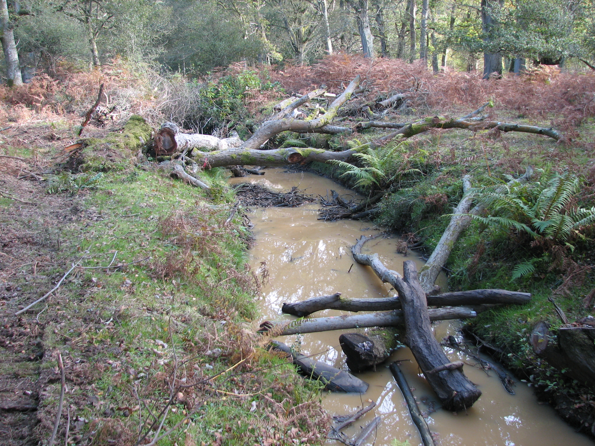
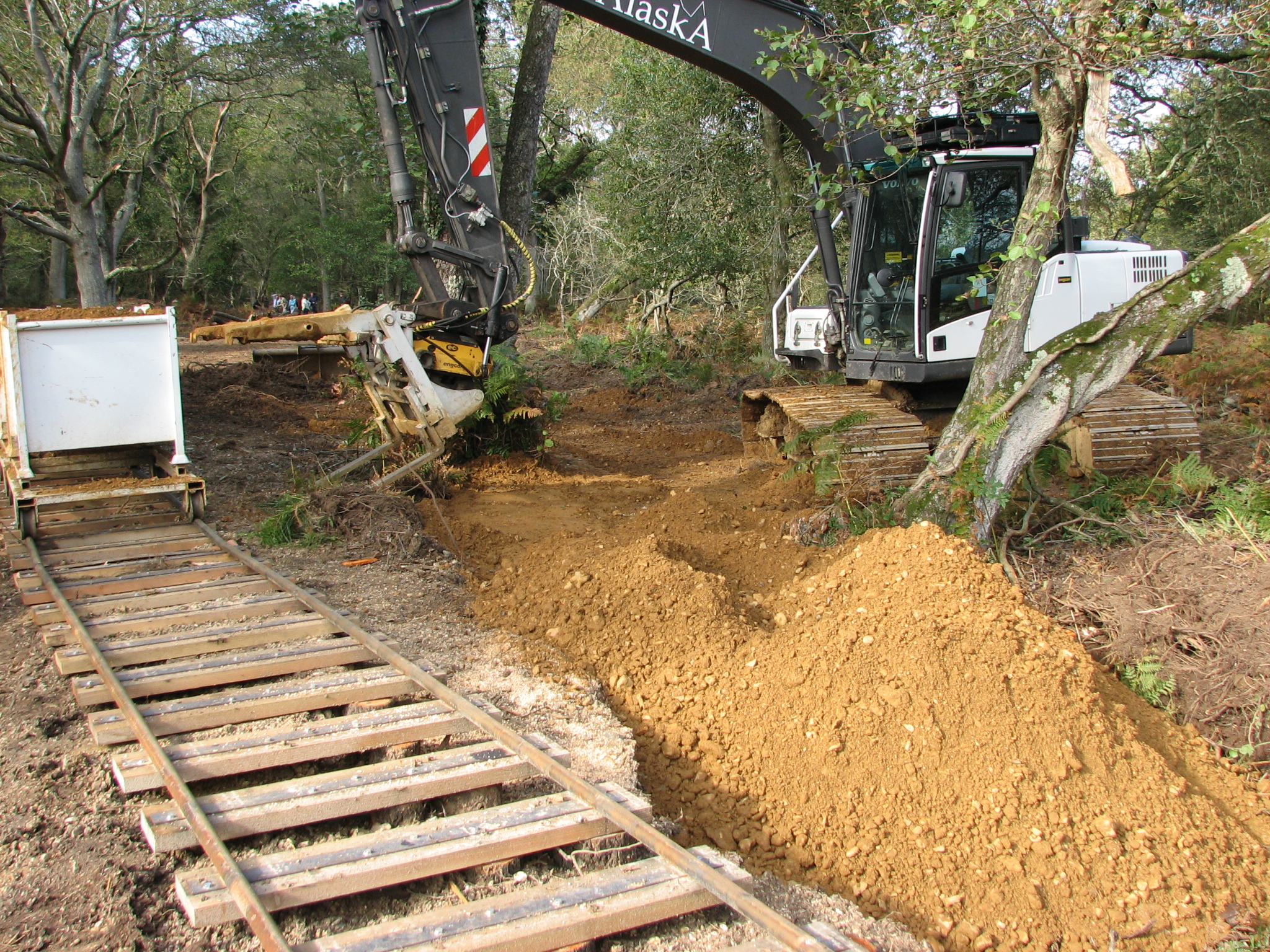
| 14:52, 20 August 2012 | New forest post works.JPG (file) |  |
5.5 MB | Ascarr | Photo taken by Toni Scarr on the RESTORE workshop. The restoration was only months old | 1 |
| 14:55, 20 August 2012 | The old river course.jpg (file) |  |
5.78 MB | Ascarr | 1 | |
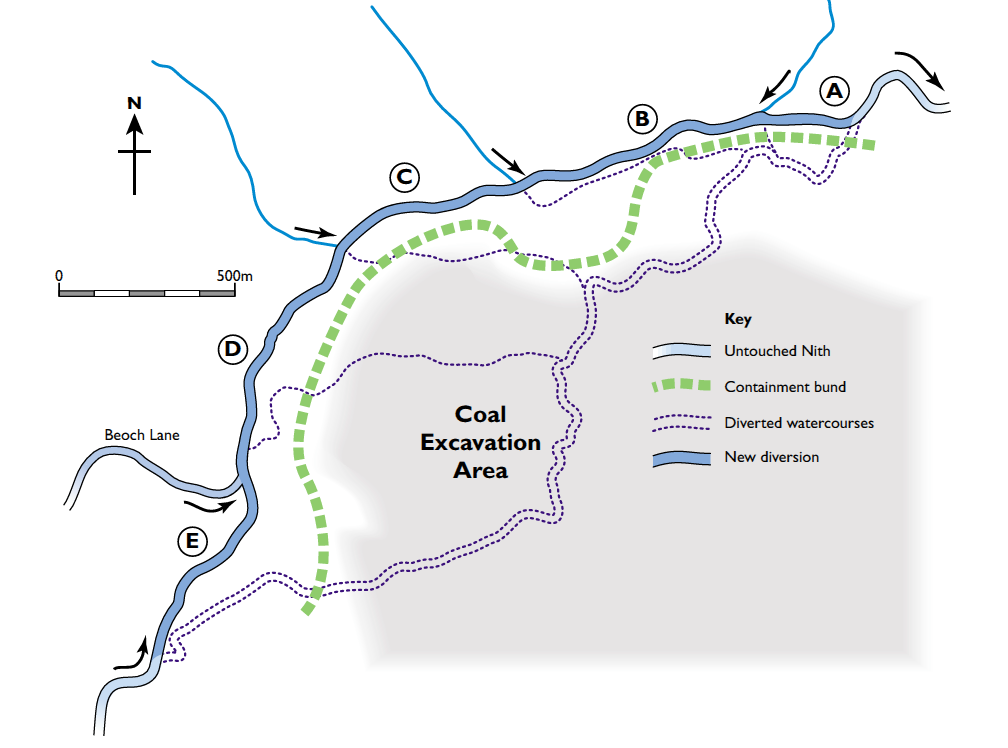
| 11:12, 21 August 2012 | Nith Diversion.png (file) |  |
102 KB | Mattleeson | Plan of Nith channel diversion. From RRC Manual of Techniques (2002) - courtesy of the River Restoration Centre. | 1 |
| 15:42, 21 August 2012 | 300mldsnov2000.jpg (file) |  |
308 KB | Mattleeson | Diverted channel once connected (2000). Courtesy of the River Restoration Centre. | 1 |
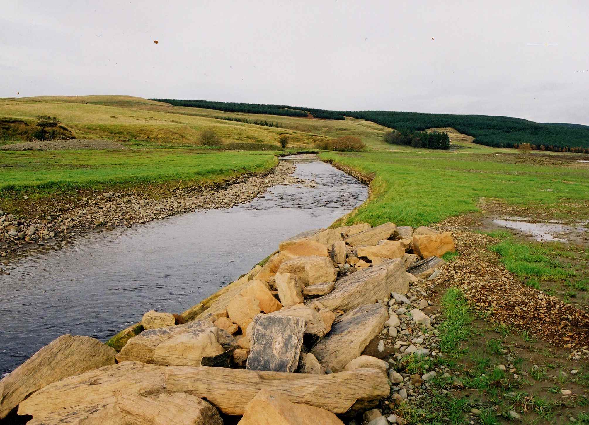
| 15:44, 21 August 2012 | Nith23a.jpg (file) |  |
182 KB | Mattleeson | Diversion channel prior to connection - rip-rap and riffle visible (2000). Courtesy of the River Restoration Centre. | 1 |
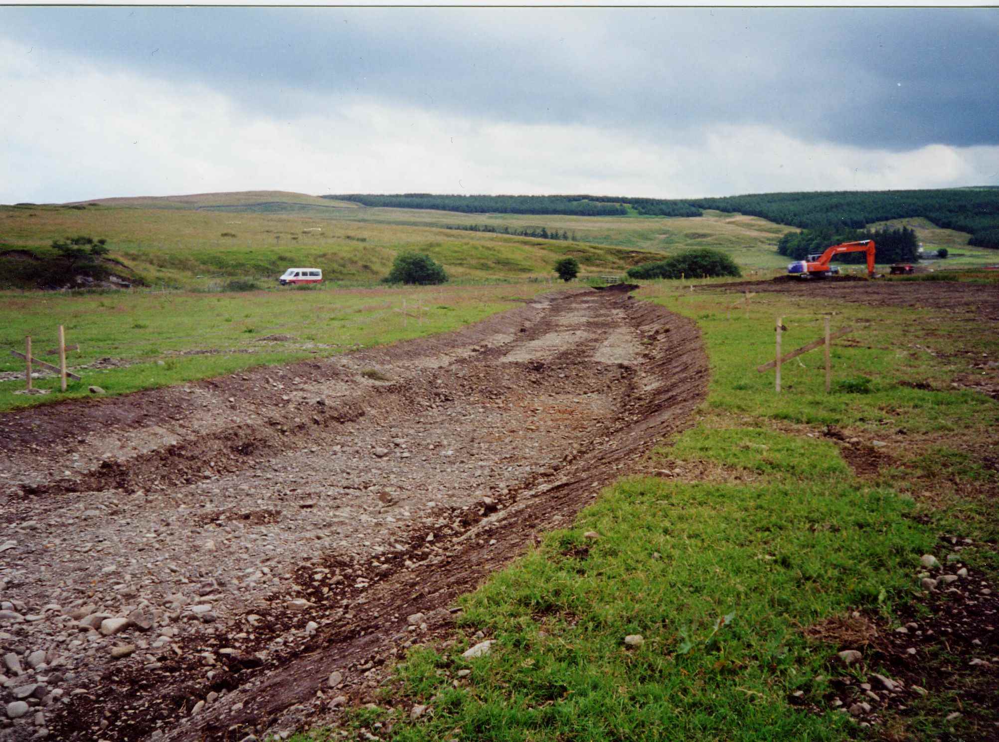
| 15:48, 21 August 2012 | 300mldsjul2000.jpg (file) |  |
279 KB | Mattleeson | Channel diversion in construction (2000). Courtesy of the River Restoration Centre. | 1 |
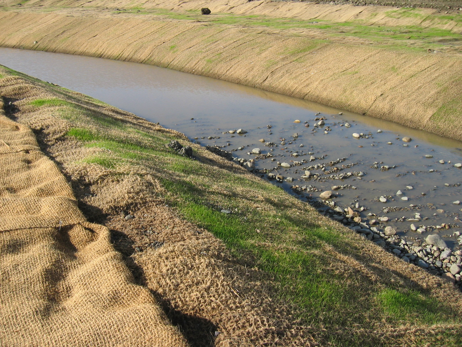
| 15:52, 21 August 2012 | Img 2986.jpg (file) |  |
1,003 KB | Mattleeson | Diversion channel (2004) showing geotextile bank reinforcement and profiled gravel bed for habitat enhancement. Courtesy of the River Restoration Centre. | 1 |
| 15:55, 21 August 2012 | Img 2990.jpg (file) |  |
776 KB | Mattleeson | Diversion channel (2004) showing geotextile bank reinforcement, profiled gravel bed and in-channel boulder placement for habitat enhancement. Courtesy of the River Restoration Centre. | 1 |
| 08:42, 22 August 2012 | 2004 Diversion 2.kml (file) | 2 KB | Mattleeson | Map showing course of 2004 diversion (during construction). Map courtesy of Google Earth. | 1 | |
| 08:48, 22 August 2012 | 2004 Diversion.kml (file) | 6 KB | Mattleeson | Map showing course of 2000 diversion (orange) and 2004 diversion channels (blue). Courtesy of Google Earth. | 1 | |
| 08:59, 22 August 2012 | 2000 & 2004 Channels.kml (file) | 17 KB | Mattleeson | 1 | ||
| 12:16, 22 August 2012 | Harbertonford Project Works.png (file) |  |
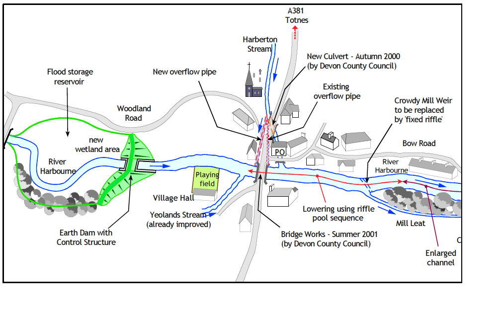
101 KB | Mattleeson | Illustration of proposed works. Courtesy of Bradley et al.(Available at http://www.britishdams.org/2004conf/papers/bradley.PDF). | 1 |
| 12:41, 22 August 2012 | CNV00004.JPG (file) |  |
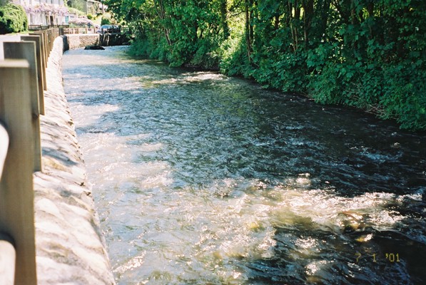
113 KB | Mattleeson | View from newly constructed flood wall in Harbertonford - looking downstream. Courtesy of the River Restoration Centre. | 1 |
| 12:42, 22 August 2012 | CNV00014.JPG (file) |  |
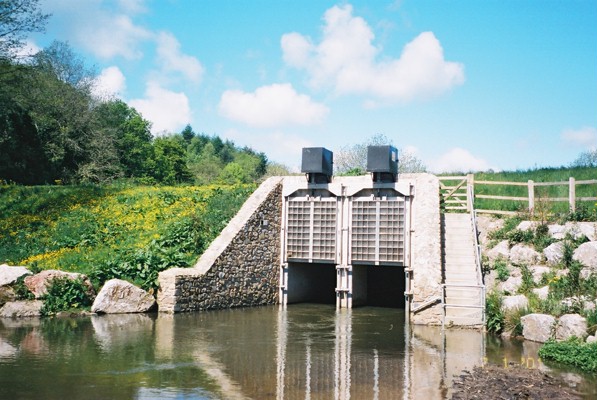
95 KB | Mattleeson | View look upstream towards outlet of flood storage reservoir, with flow control structure. Courtesy of the River Restoration Centre. | 1 |
| 12:43, 22 August 2012 | CNV00020.JPG (file) |  |
138 KB | Mattleeson | View looking downstream towards dam and outlet. Courtesy of the River Restoration Centre. | 1 |
| 12:43, 22 August 2012 | CNV00007.JPG (file) |  |
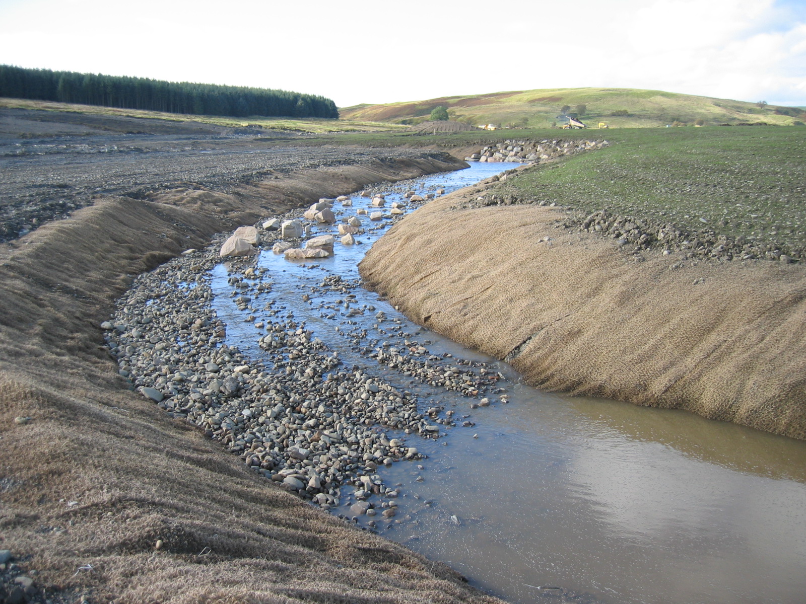
129 KB | Mattleeson | One of a number of pool-riffle sequences installed on the advice of the River Restoration Centre. Courtesy of the River Restoration Centre. | 1 |
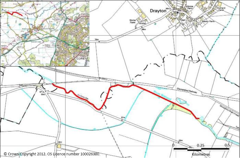
| 15:29, 22 August 2012 | Drayton.jpg (file) |  |
75 KB | Ascarr | OS file | 1 |
| 15:55, 22 August 2012 | Drayton Case Study v1 25022012 comp.pdf (file) | 1.2 MB | Ascarr | 1 | ||
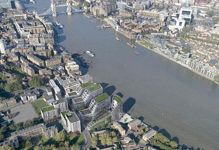
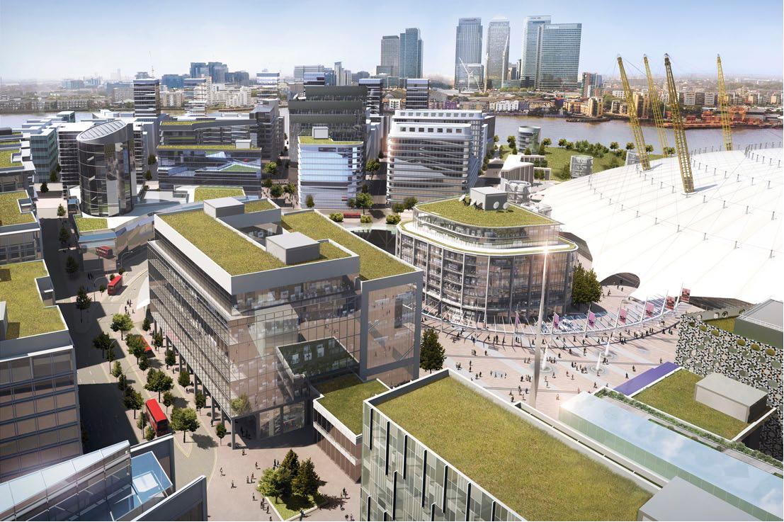
| 17:49, 22 August 2012 | Chambers Wharf.jpg (file) |  |
91 KB | Ascarr | graphic image | 1 |
| 17:58, 22 August 2012 | Thamescasestudies.pdf (file) | 5.9 MB | Ascarr | 1 | ||
| 18:04, 22 August 2012 | Rams brewery.jpg (file) |  |
358 KB | Ascarr | 1 | |
| 18:40, 22 August 2012 | Greenwich.jpg (file) |  |
30 KB | Ascarr | 1 | |
| 18:44, 22 August 2012 | Greenwich 1.jpg (file) |  |
269 KB | Ascarr | 1 | |
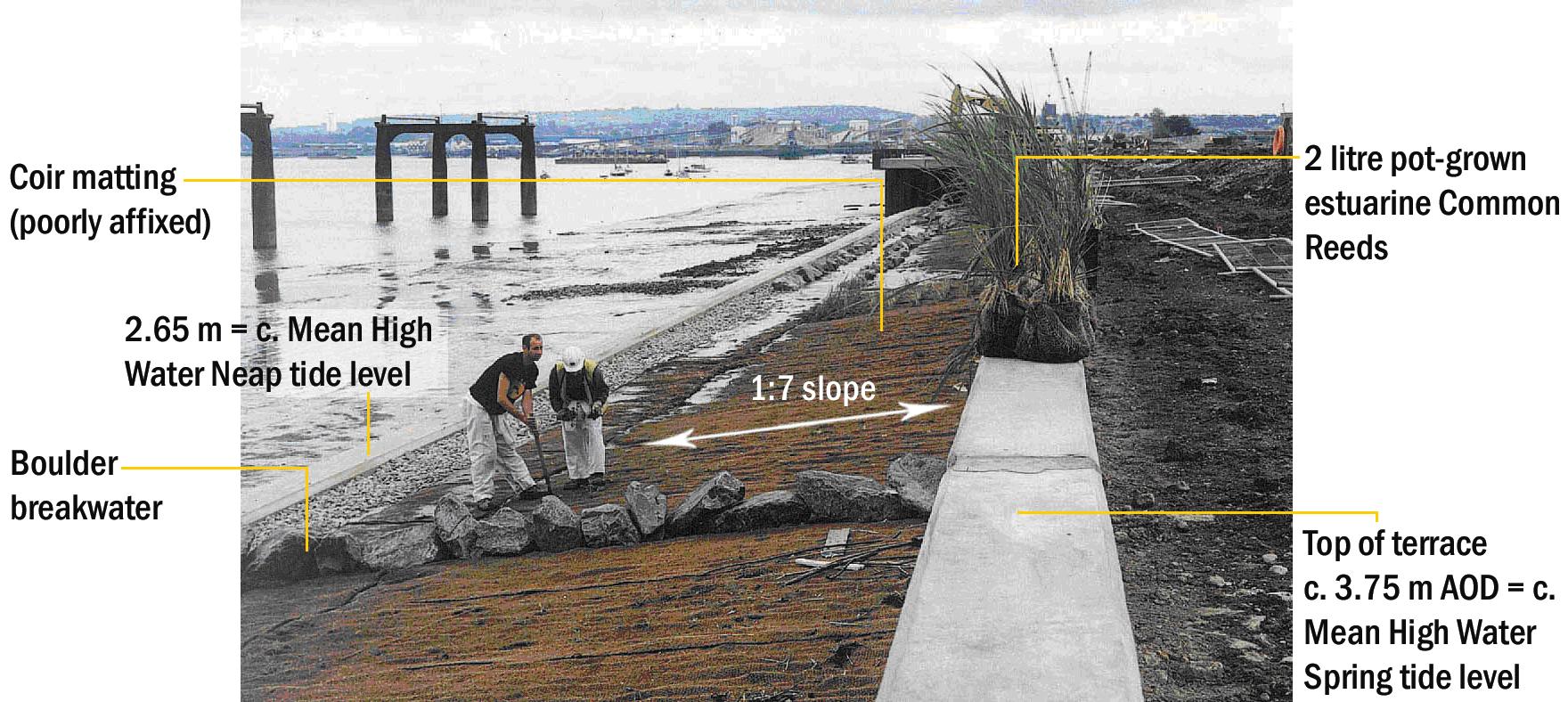
| 18:53, 22 August 2012 | Estuary Edges structurally engineered designs.pdf (file) | 8.86 MB | Ascarr | 1 | ||
| 19:07, 22 August 2012 | Greenwich 2.jpg (file) |  |
179 KB | Ascarr | 1 | |
| 19:35, 22 August 2012 | Barking creek.jpg (file) |  |
484 KB | Ascarr | 1 | |
| 19:39, 22 August 2012 | A13.jpg (file) |  |
286 KB | Ascarr | 1 | |
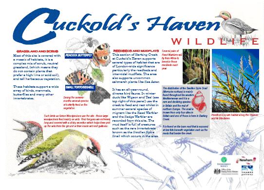
| 19:50, 22 August 2012 | Cuckolds haven.jpg (file) |  |
58 KB | Ascarr | 1 | |
| 08:51, 23 August 2012 | Short Heath brook Before.JPG (file) |  |
2.26 MB | Wgroves | Short Heath Brook before works commenced | 1 |
| 08:56, 23 August 2012 | Full Spate 070612.jpg (file) |  |
150 KB | Wgroves | Short Heatn Brook- Post project during wet weather | 1 |
| 09:03, 23 August 2012 | SHB- Dry Weather.JPG (file) |  |
3.5 MB | Wgroves | Post project in dry conditions | 1 |
| 09:13, 23 August 2012 | Short Heath brook Before 2.jpg (file) |  |
2.07 MB | Wgroves | 1 | |
| 10:34, 23 August 2012 | A River Reborn - Quaggy.pdf (file) | 1.63 MB | Ascarr | 1 | ||
| 10:46, 23 August 2012 | Surveys on the Quaggy.doc (file) | 21 KB | Ascarr | 1 | ||
| 10:49, 23 August 2012 | KRedmond.pdf (file) | 1.21 MB | Ascarr | 1 | ||
| 10:52, 23 August 2012 | Quaggy.jpg (file) |  |
338 KB | Ascarr | 1 | |
| 11:02, 23 August 2012 | Quaggy FAS General Information, 28 May 08.pdf (file) | 2.83 MB | Ascarr | 1 | ||
| 11:06, 23 August 2012 | Quality of life health and the EA 1.pdf (file) | 910 KB | Ascarr | 1 | ||
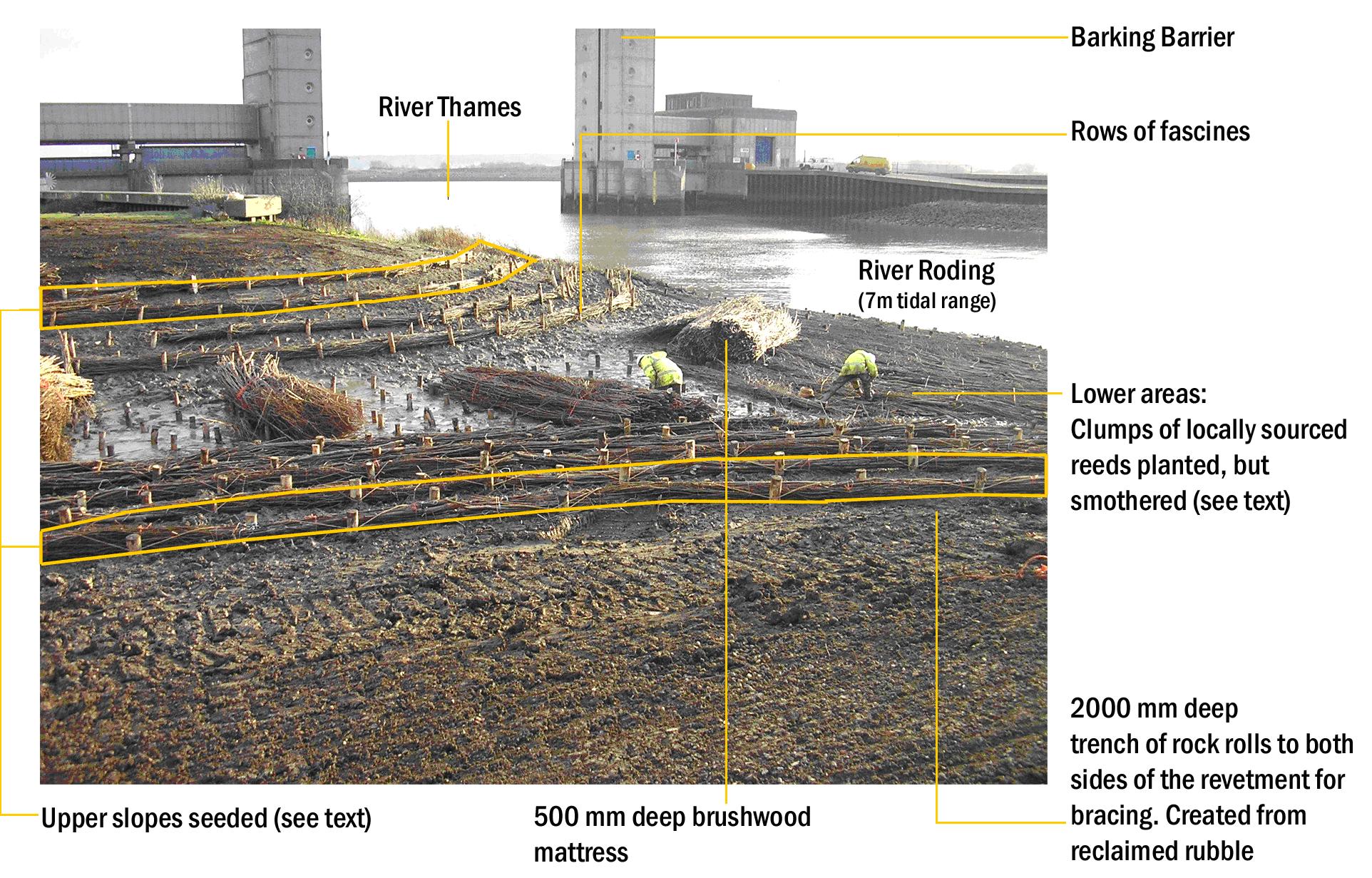
| 13:24, 23 August 2012 | Barking - A3.png (file) |  |
1.17 MB | Ascarr | 1 |