File list
Jump to navigation
Jump to search
This special page shows all uploaded files.
| Date | Name | Thumbnail | Size | User | Description | Versions |
|---|---|---|---|---|---|---|
| 09:13, 19 June 2018 | Intermediate zone.png (file) |  |
1.07 MB | Joeri1992 | 1 | |
| 09:12, 19 June 2018 | Senarpont weir.png (file) |  |
887 KB | Joeri1992 | 1 | |
| 09:04, 19 June 2018 | Map of project.png (file) |  |
627 KB | Joeri1992 | 1 | |
| 08:02, 19 June 2018 | Technical image.png (file) |  |
148 KB | Joeri1992 | A scheme of the implemented phytoremediation system. | 1 |
| 07:50, 19 June 2018 | Ecoremediation.png (file) |  |
837 KB | Joeri1992 | Left- Multifunctional phytoremediation system in the summer of 2011; Right- Multifunctional phytoremediation system in the spring of 2013, after a long winter, before beginning of plant growth | 1 |
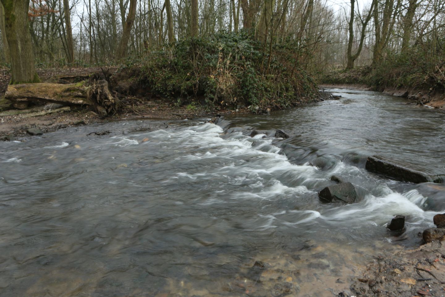
| 11:47, 26 April 2018 | 011 Image Bucknall Park 10 months after weir removal on r.trent Jan '18 MR.jpg (file) |  |
274 KB | Alexrrc | 1 | |
| 11:44, 26 April 2018 | 011 Bucknall Park 10 months after weir removal Jan '18 MR.jpg (file) |  |
274 KB | Alexrrc | 1 | |
| 11:39, 26 April 2018 | 009 Image Bucknall - removal of trash MR.jpg (file) |  |
367 KB | Alexrrc | 1 | |
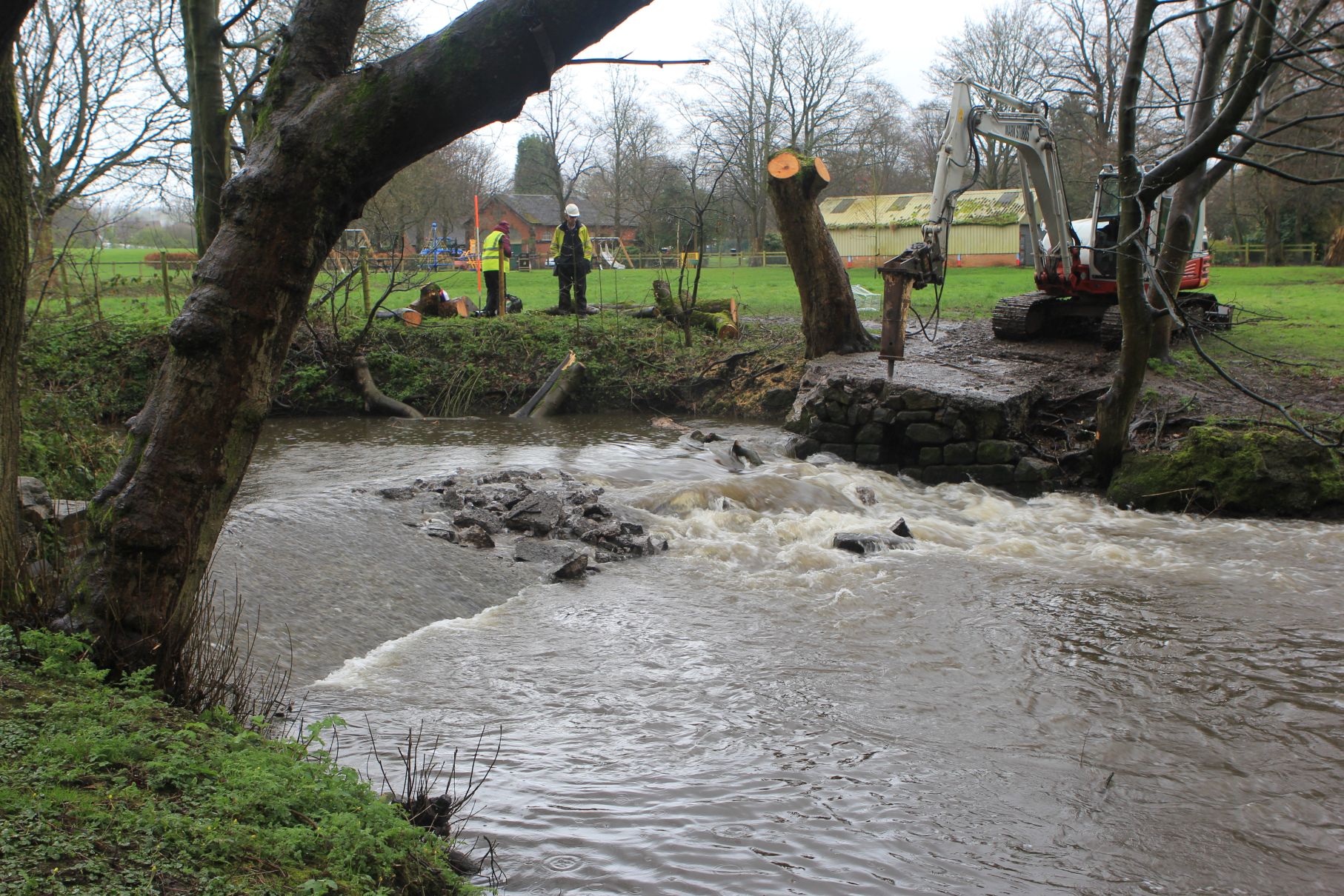
| 11:39, 26 April 2018 | 008 Image Bucknall - breaking out weir MR.jpg (file) |  |
541 KB | Alexrrc | 1 | |
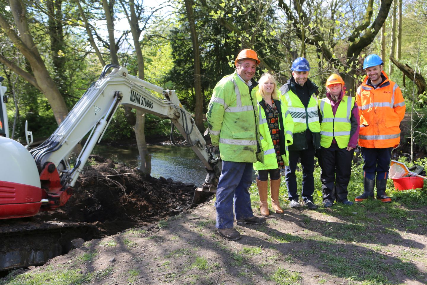
| 11:38, 26 April 2018 | 010 Image Bucknall - Happy Project partners MR.jpg (file) |  |
379 KB | Alexrrc | 1 | |
| 11:27, 26 April 2018 | BucknallPark.jpeg (file) |  |
274 KB | Alexrrc | 2 | |
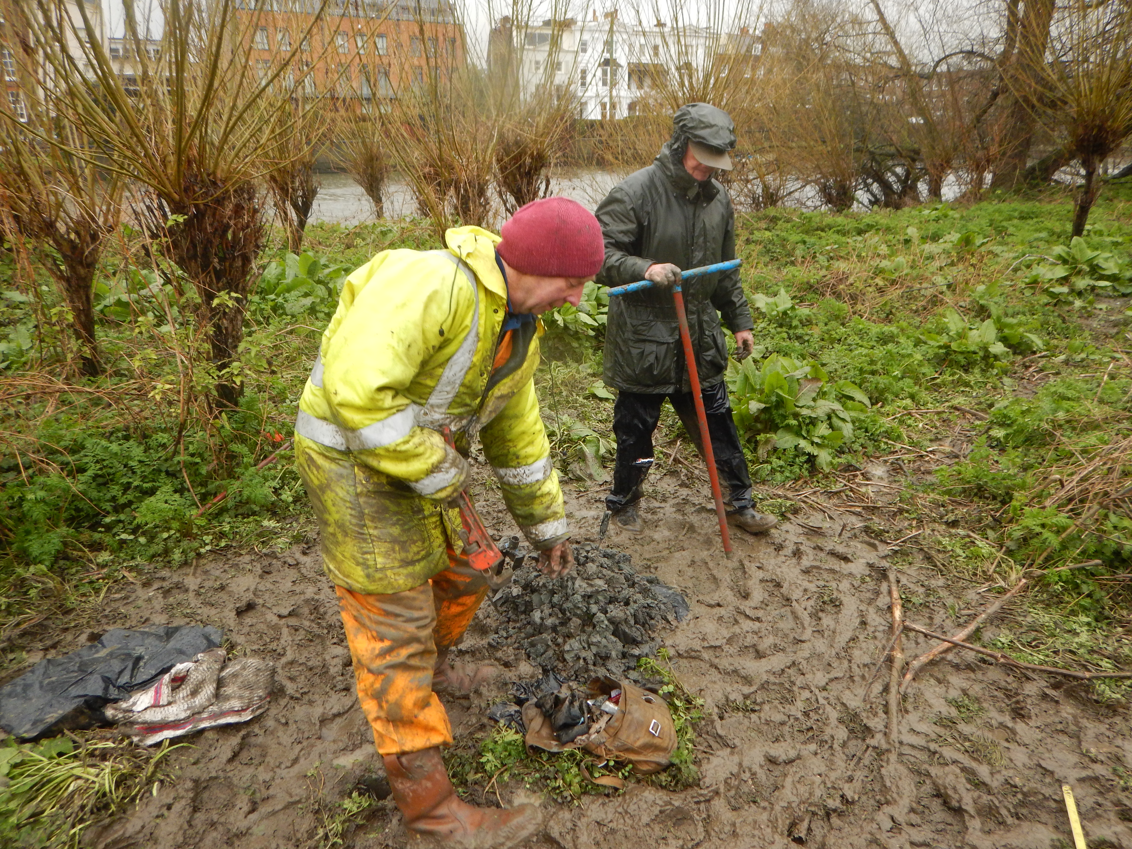
| 15:19, 29 March 2018 | Soil sampling.jpeg (file) |  |
6.45 MB | Mobilitydream | Dr Jamie Standing from Imperial College and Dr Dave Morritt from Royal Holloway with Heena Sheth collecting core samples. | 2 |
| 09:49, 27 March 2018 | Appendix 2 CaBA Case Studies - River Don final.pdf (file) | 281 KB | Ascarr | 1 | ||
| 14:31, 23 March 2018 | Monitoring Summary.pdf (file) | 3.68 MB | FWAGSW-H2L | Hills to Levels - summary of leaky woody dam monitoring results | 1 | |
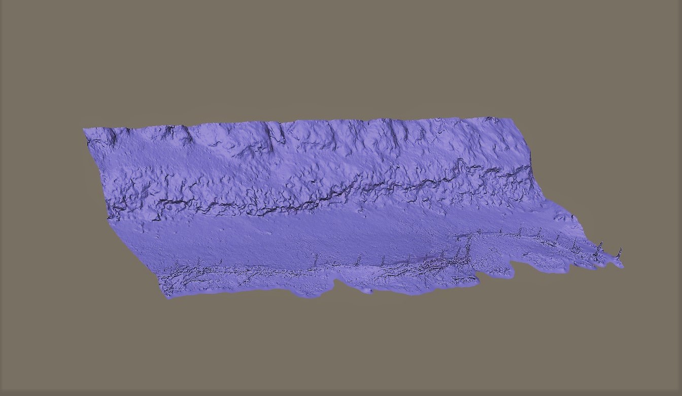
| 12:11, 15 March 2018 | 3D model of west bank.jpg (file) |  |
154 KB | Mobilitydream | 2 | |
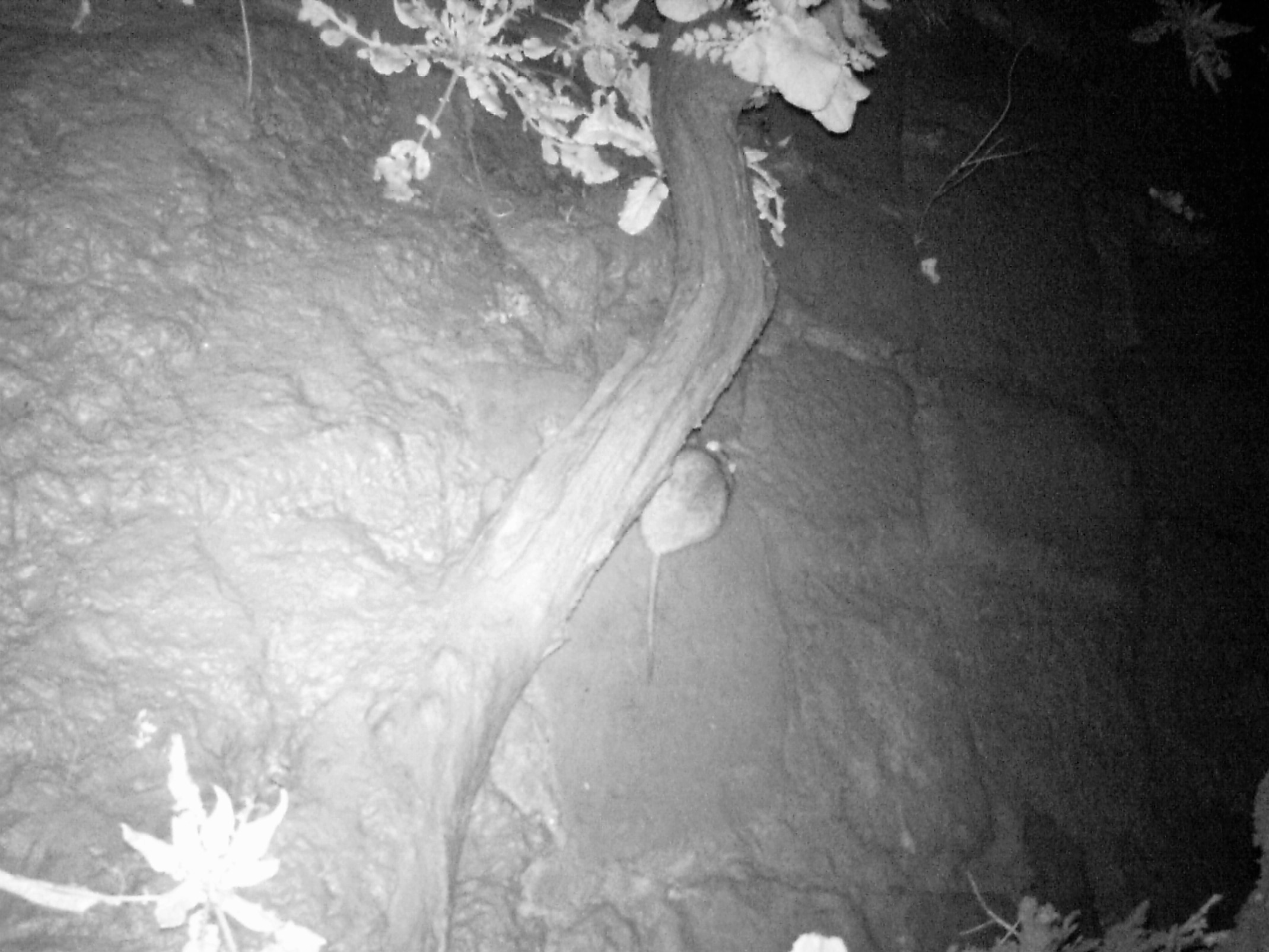
| 11:54, 15 March 2018 | Animal photo capture.JPG (file) |  |
543 KB | Mobilitydream | 1 | |
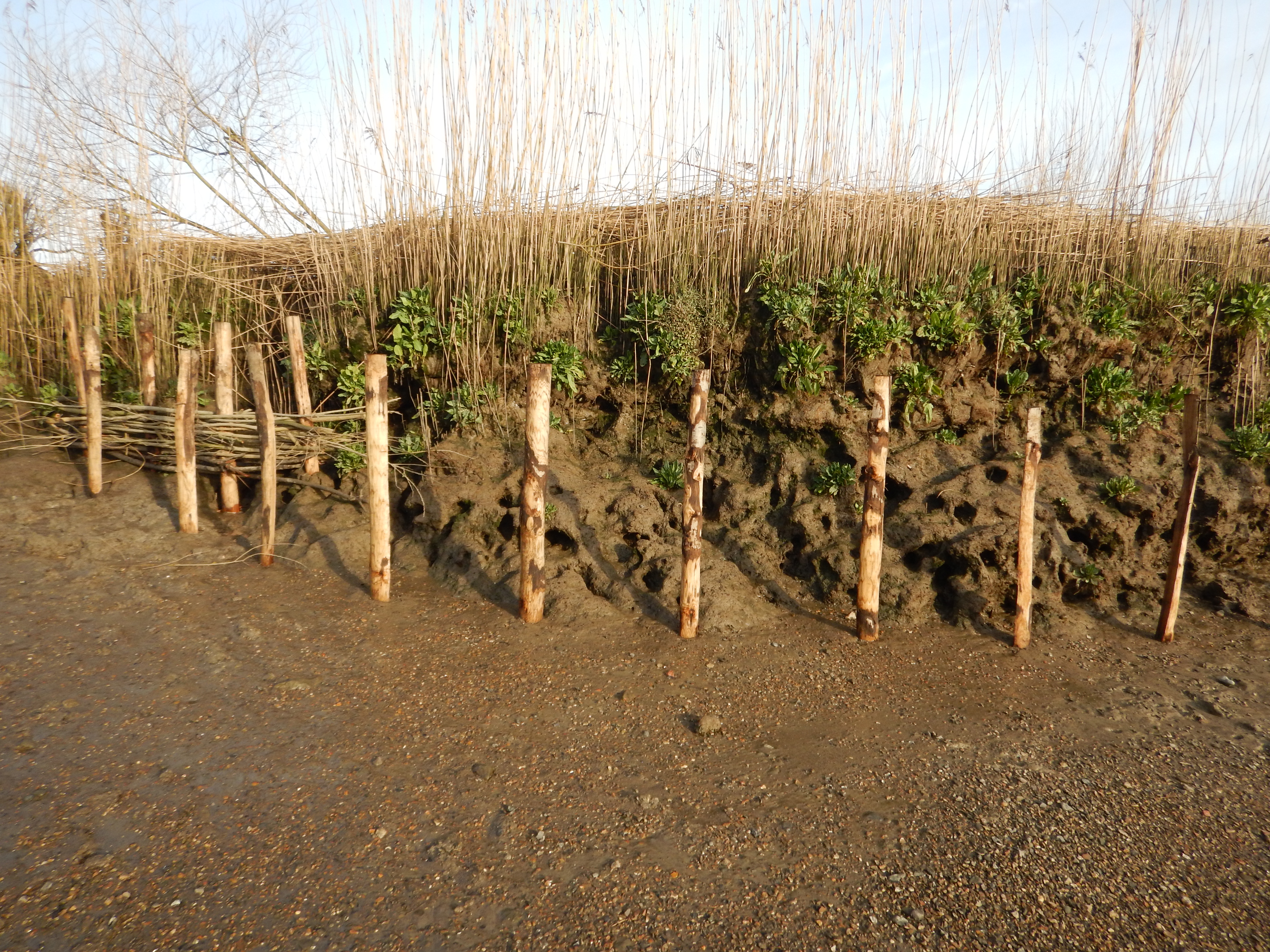
| 11:46, 15 March 2018 | East bank with new posts.JPG (file) |  |
6.26 MB | Mobilitydream | 1 | |
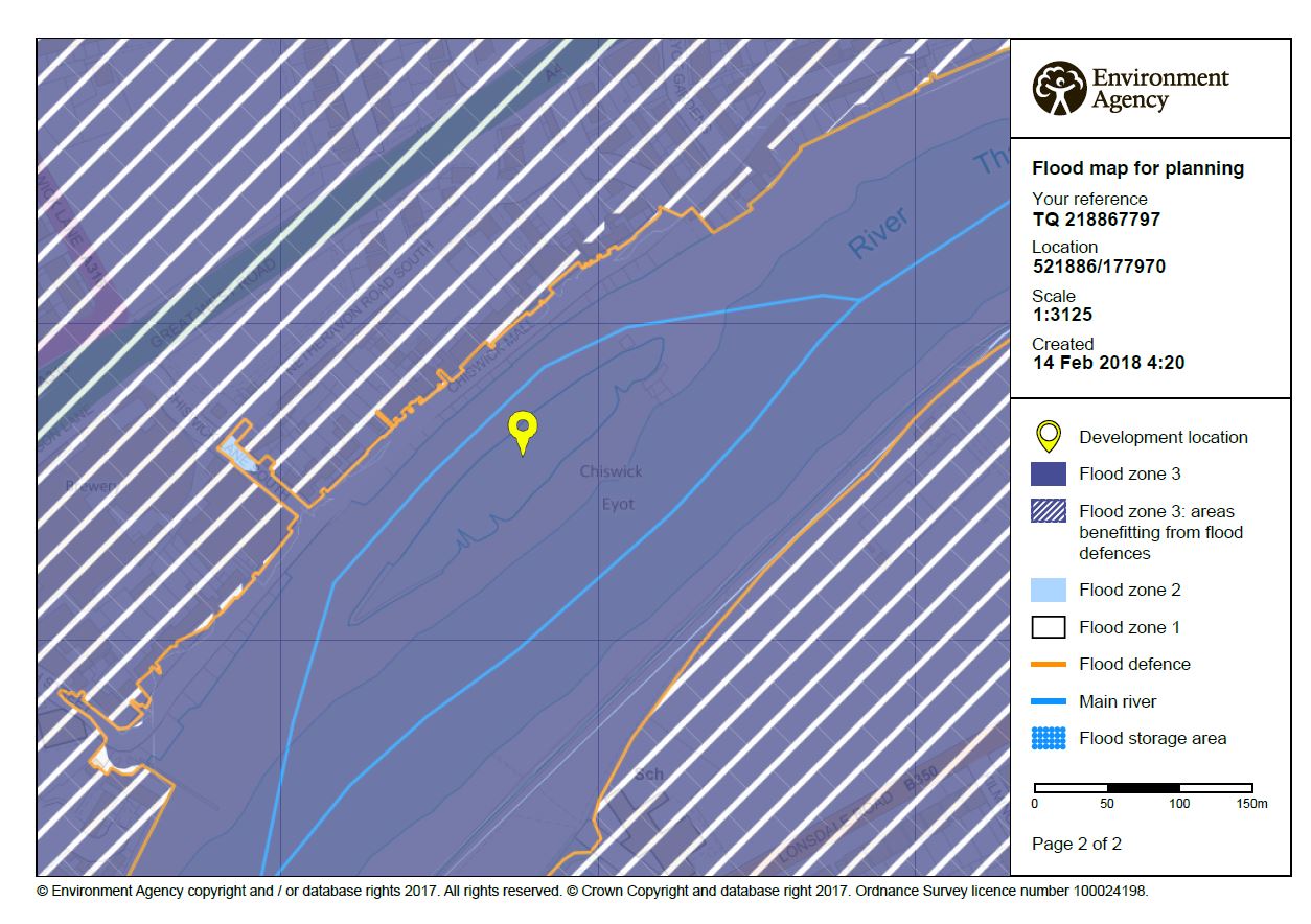
| 11:45, 15 March 2018 | EA flood risk level.JPG (file) |  |
186 KB | Mobilitydream | 1 | |
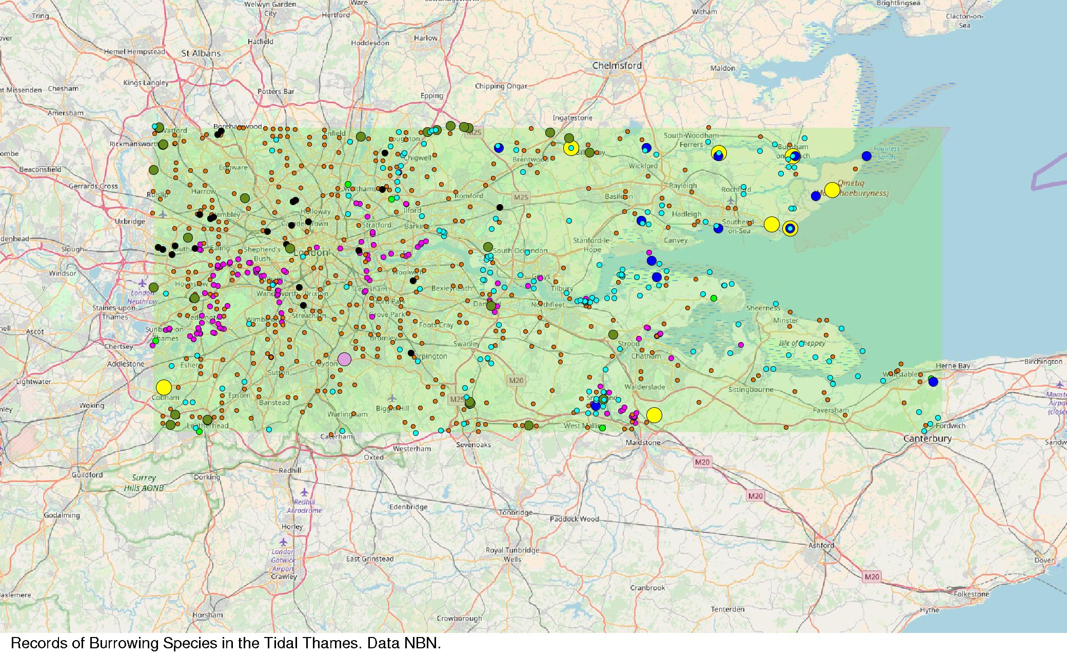
| 11:44, 15 March 2018 | Records of burrowing species in the Thames tideway.jpg (file) |  |
520 KB | Mobilitydream | 1 | |
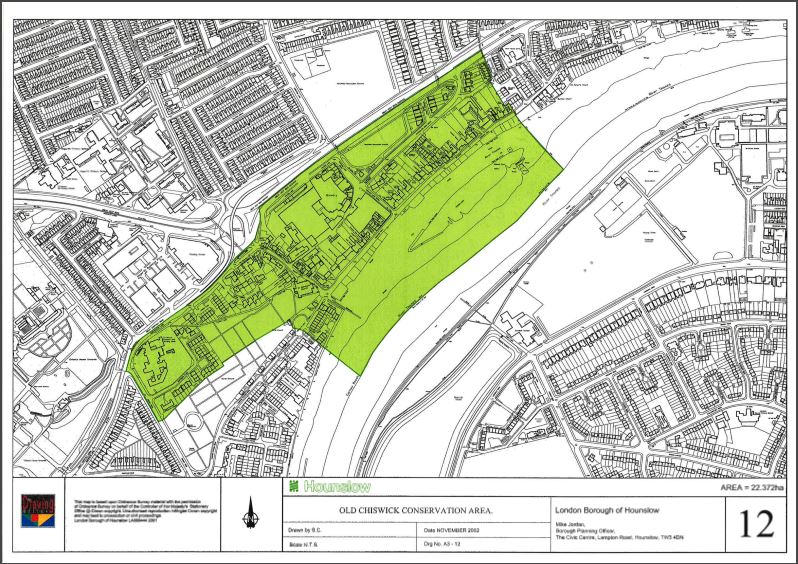
| 11:44, 15 March 2018 | Old Chiswick Conservation Area.JPG (file) |  |
167 KB | Mobilitydream | 1 | |
| 11:41, 15 March 2018 | Thames21 Chiswick Eyot days.png (file) |  |
730 KB | Mobilitydream | 1 | |
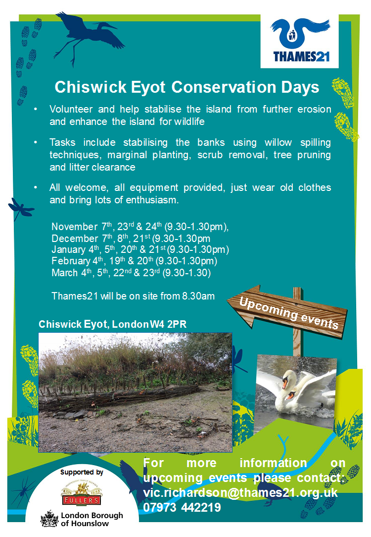
| 09:43, 15 March 2018 | Thames21 chiswick eyot days.png (file) |  |
730 KB | Mobilitydream | Thames21 Chiwick Eyot volunteer poster | 1 |
| 09:41, 15 March 2018 | Thornycroft at church wharf chiswick.jpg (file) |  |
317 KB | Mobilitydream | Thornycroft yard at Chiswick | 1 |
| 09:39, 15 March 2018 | Flood risk level 3.JPG (file) |  |
186 KB | Mobilitydream | Flood risk designation EA | 1 |
| 09:38, 15 March 2018 | Old chiswick conservation area.JPG (file) |  |
167 KB | Mobilitydream | Old Chiswick Conservation Area, London Borough of Houslow | 1 |
| 09:37, 15 March 2018 | Burrowing species in the thames.jpg (file) |  |
520 KB | Mobilitydream | Records of burrowing species | 1 |
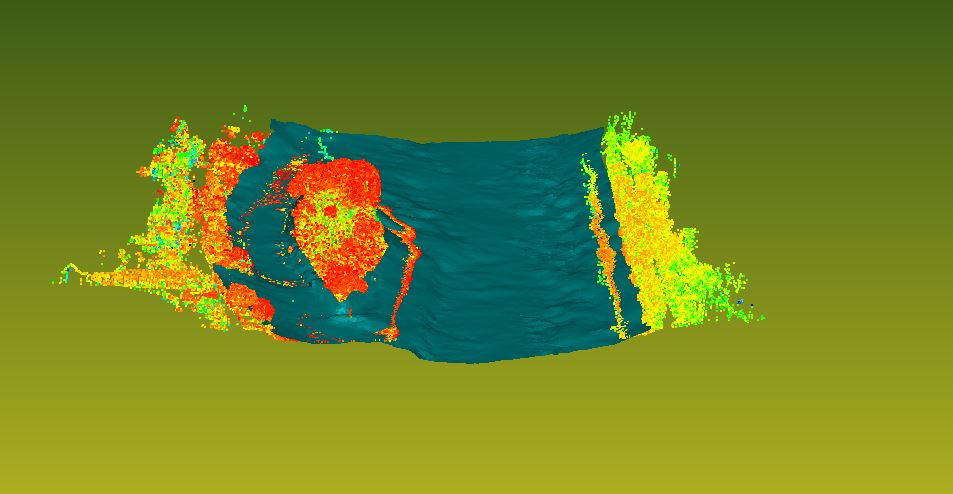
| 09:34, 15 March 2018 | Bathymetry and scans.JPG (file) |  |
59 KB | Mobilitydream | Bathymetry and scan data combined | 1 |
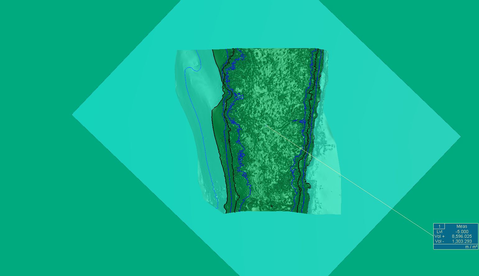
| 09:20, 15 March 2018 | Volume calculation using 5m layer.jpg (file) |  |
100 KB | Mobilitydream | Volume calculation | 1 |
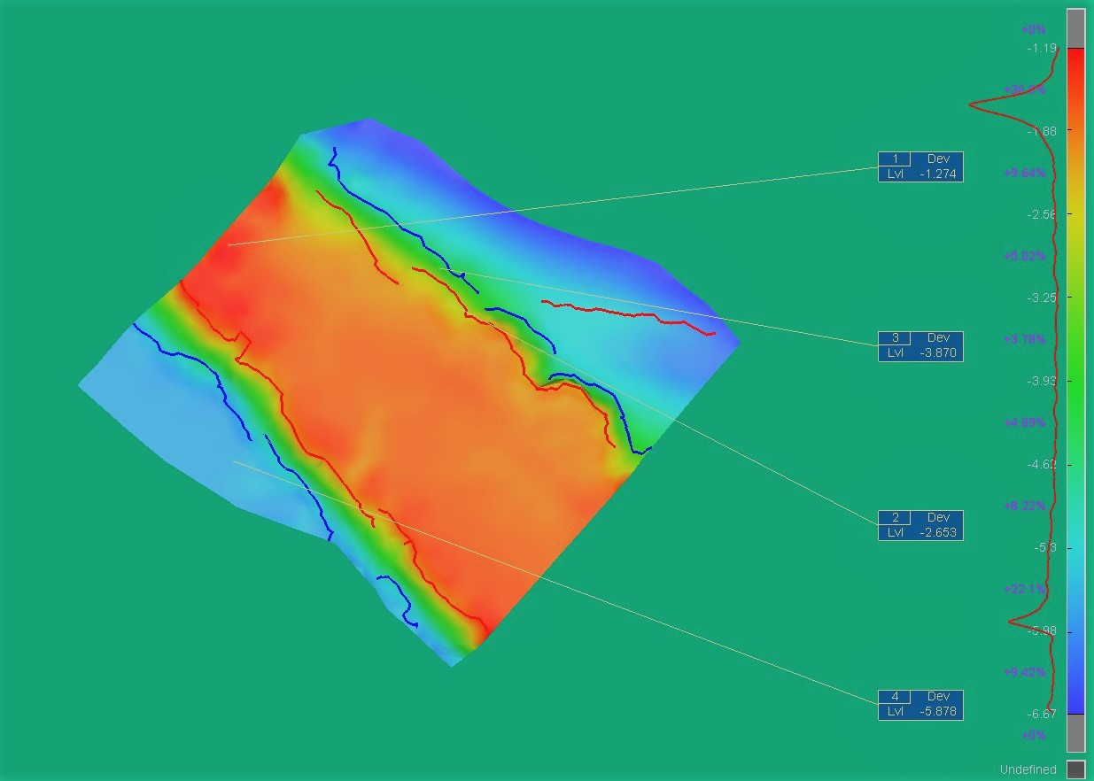
| 09:18, 15 March 2018 | Surface flatness with breaklines labelled.jpg (file) |  |
117 KB | Mobilitydream | 1 | |
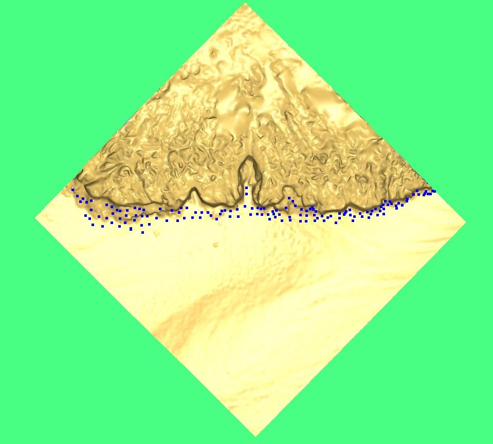
| 09:13, 15 March 2018 | Bank with mola.jpg (file) |  |
120 KB | Mobilitydream | Points from MoLA surveys against surface created from 2016 scan data | 1 |
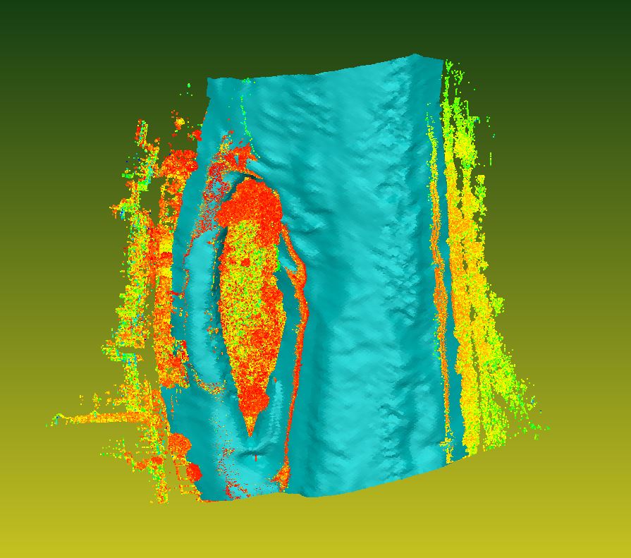
| 09:11, 15 March 2018 | Bathymmetry and scans2.JPG (file) |  |
120 KB | Mobilitydream | Bathymetry combined with point cloud | 1 |
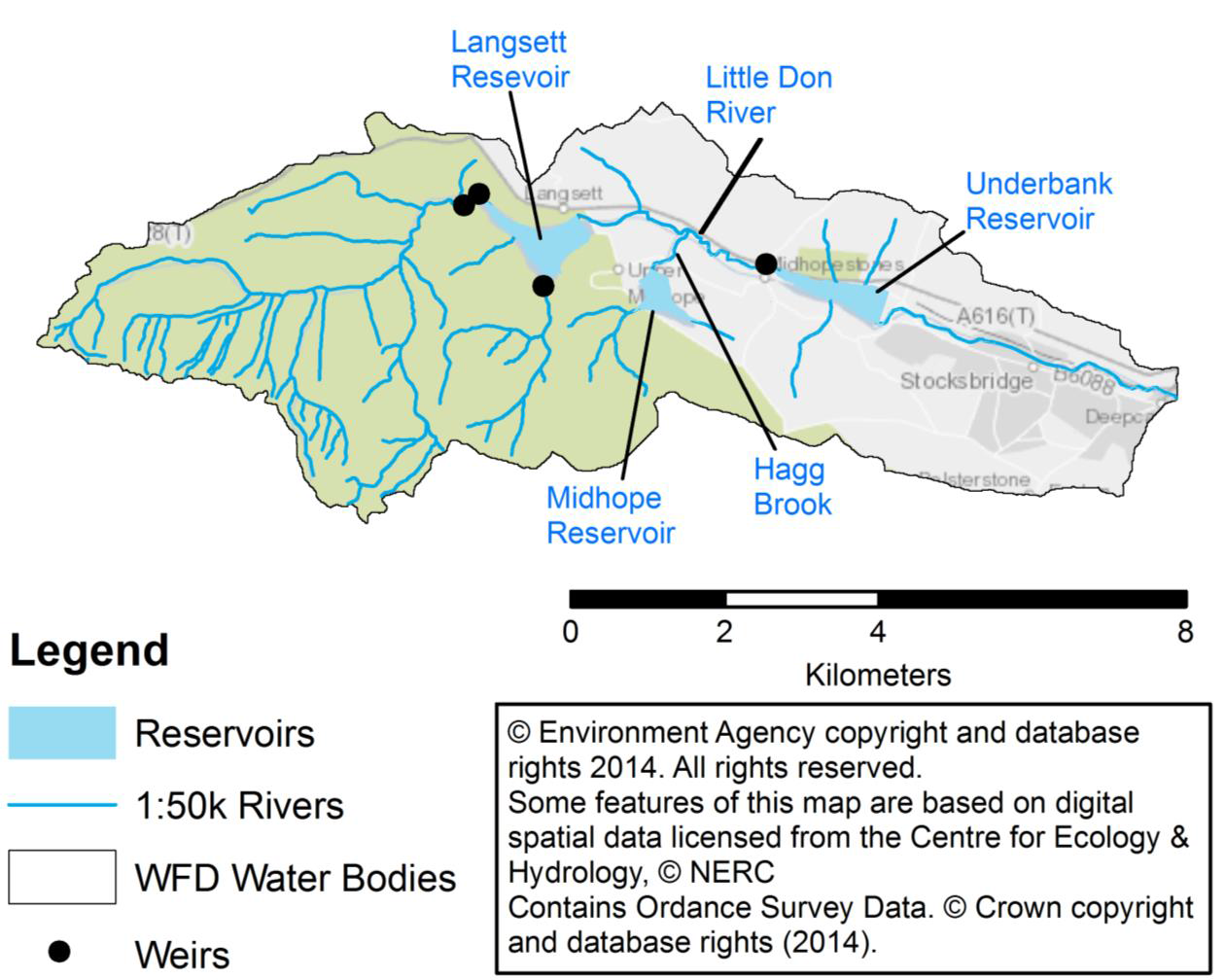
| 18:48, 14 March 2018 | River Don map.png (file) |  |
869 KB | Ascarr | 1 | |
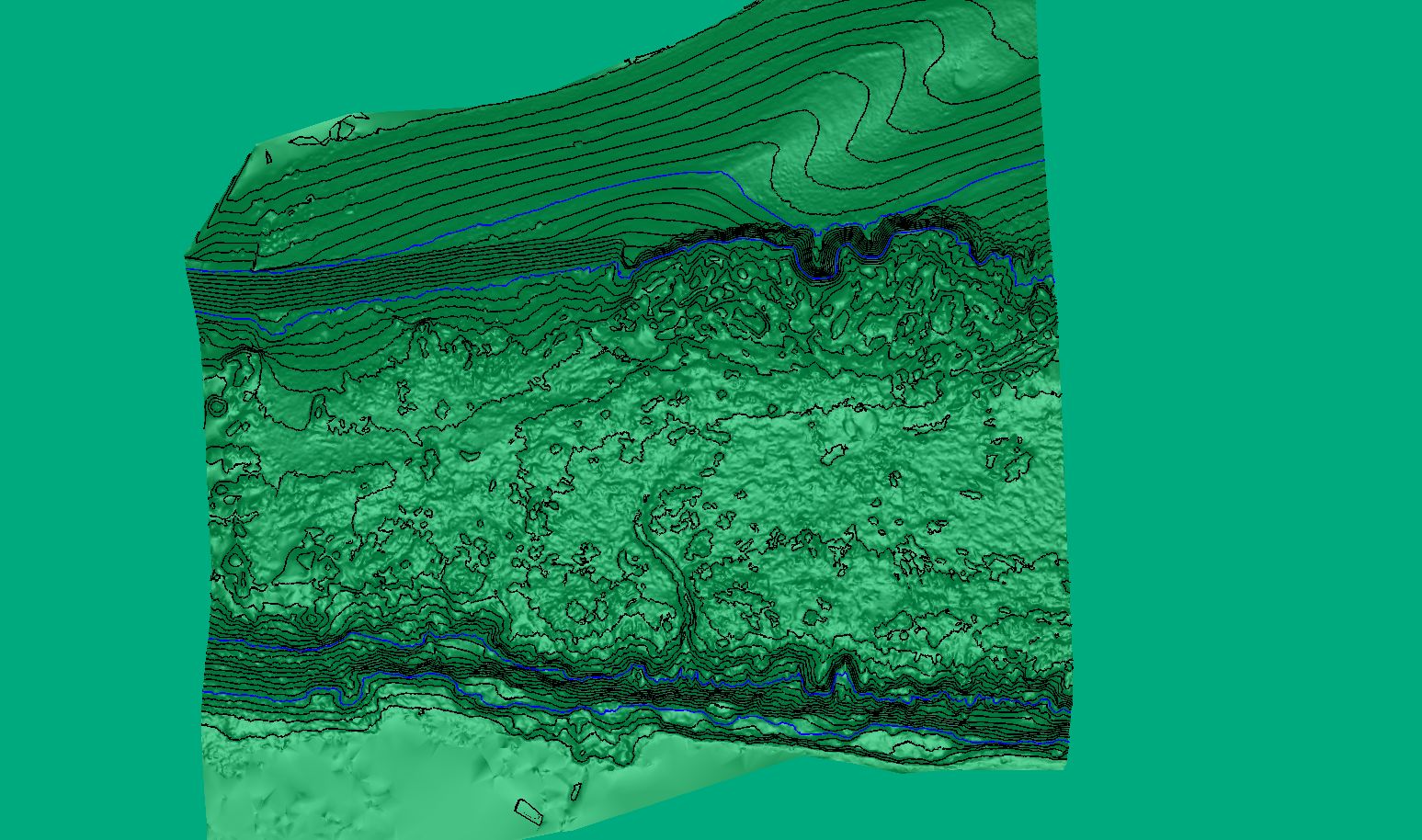
| 16:11, 14 March 2018 | Ground extraxction with dense contours.jpg (file) |  |
273 KB | Mobilitydream | features and elevation contours | 1 |
| 09:41, 1 March 2018 | 20161122 150627.jpg (file) |  |
1.81 MB | DCRT | 1 | |
| 09:31, 1 March 2018 | PA171807.JPG (file) |  |
2.95 MB | DCRT | 1 | |
| 09:26, 1 March 2018 | 20160928 104252.jpg (file) |  |
1.89 MB | DCRT | 1 | |
| 09:20, 1 March 2018 | 20170523 141847.jpg (file) |  |
2.36 MB | DCRT | 1 | |
| 09:06, 1 March 2018 | 20161019 131437.jpg (file) |  |
2.39 MB | DCRT | 1 | |
| 16:30, 26 February 2018 | Connswater Community Greenway.jpeg (file) |  |
13.07 MB | ConnsGreenway | Marsh - wiggle Way | 1 |
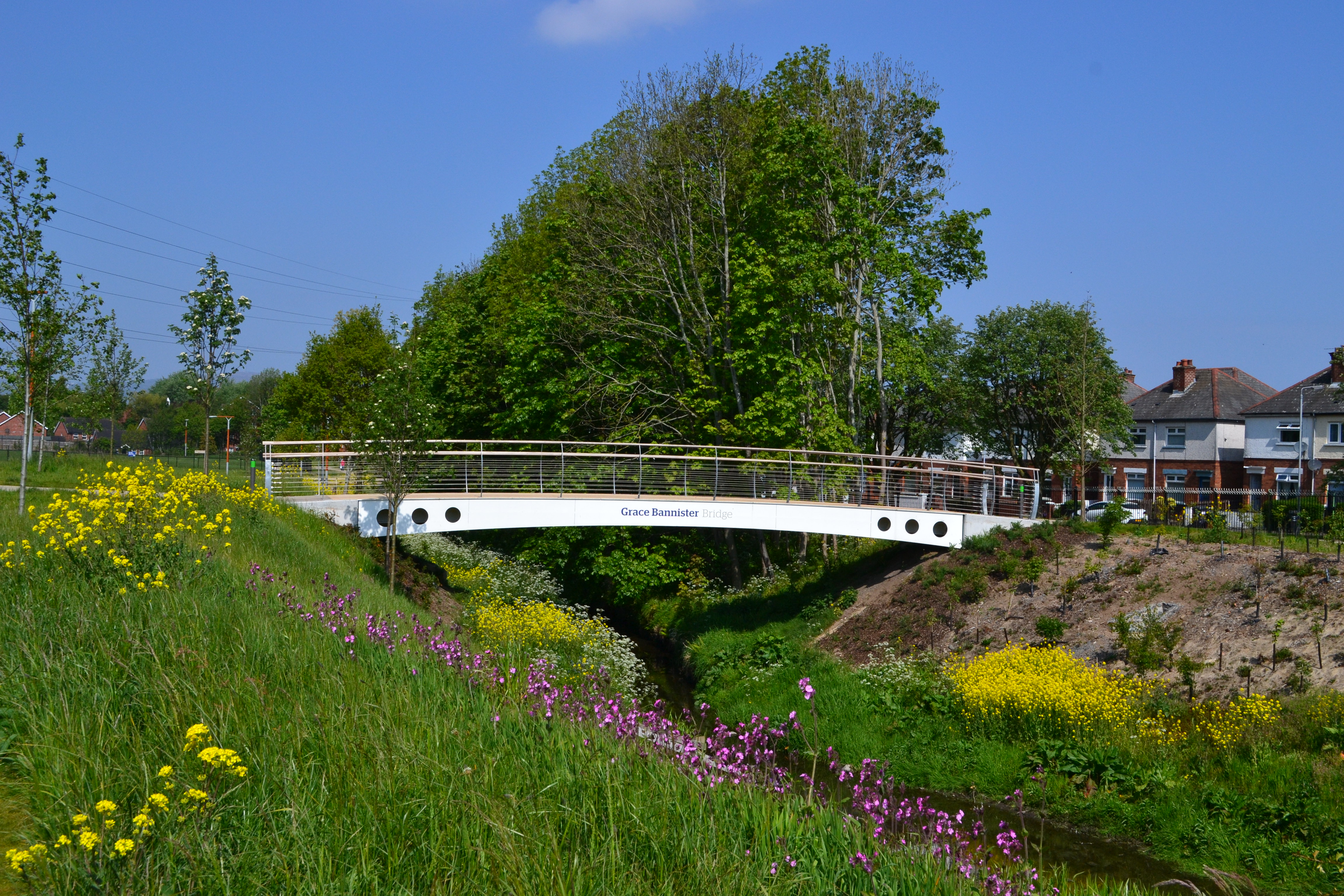
| 16:24, 26 February 2018 | Grace Bannister Bridge at Knock River.jpeg (file) |  |
3.5 MB | ConnsGreenway | 1 | |
| 16:23, 26 February 2018 | GB Bridge.jpg (file) |  |
3.5 MB | ConnsGreenway | 1 | |
| 11:11, 21 February 2018 | River Hull Wansford (low res).jpg (file) | .jpg) |
425 KB | Ascarr | 1 | |
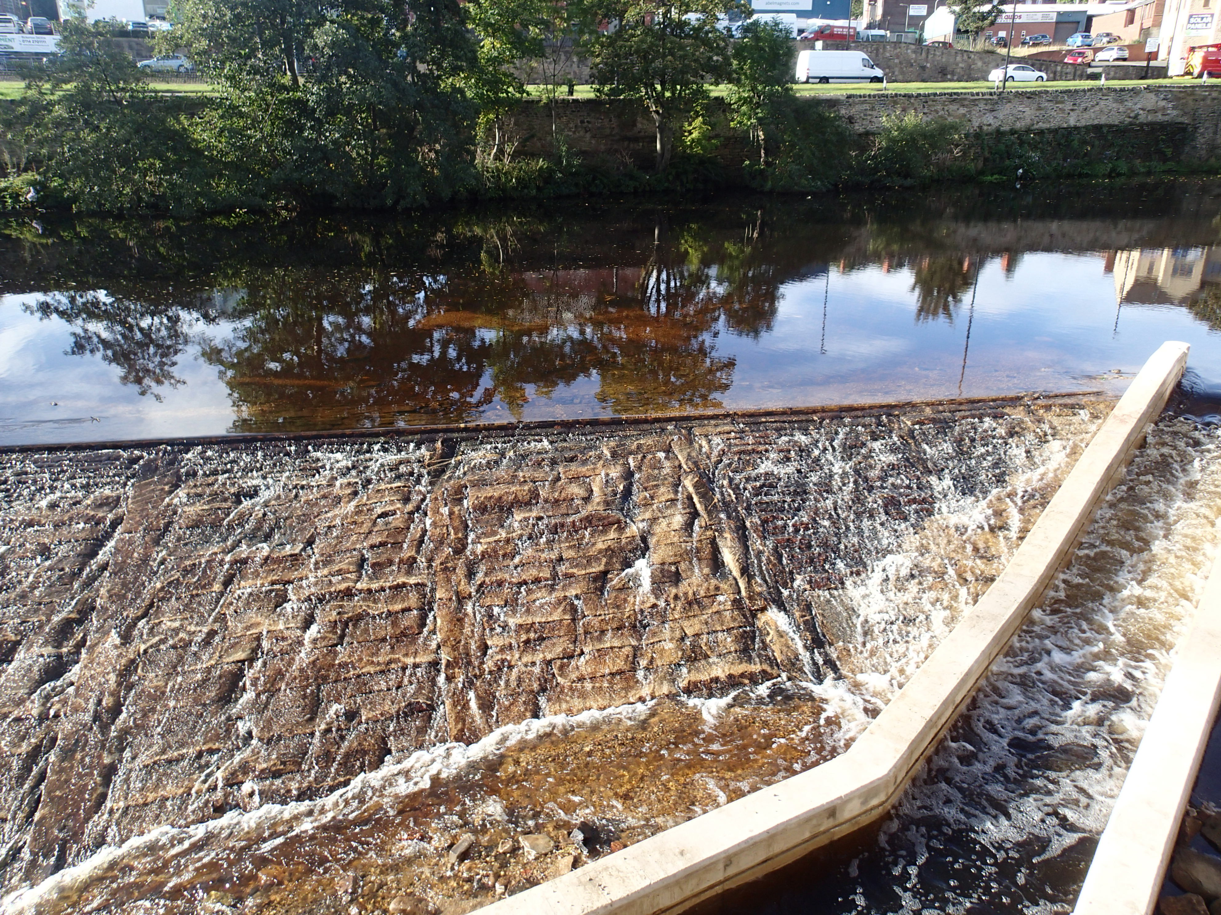
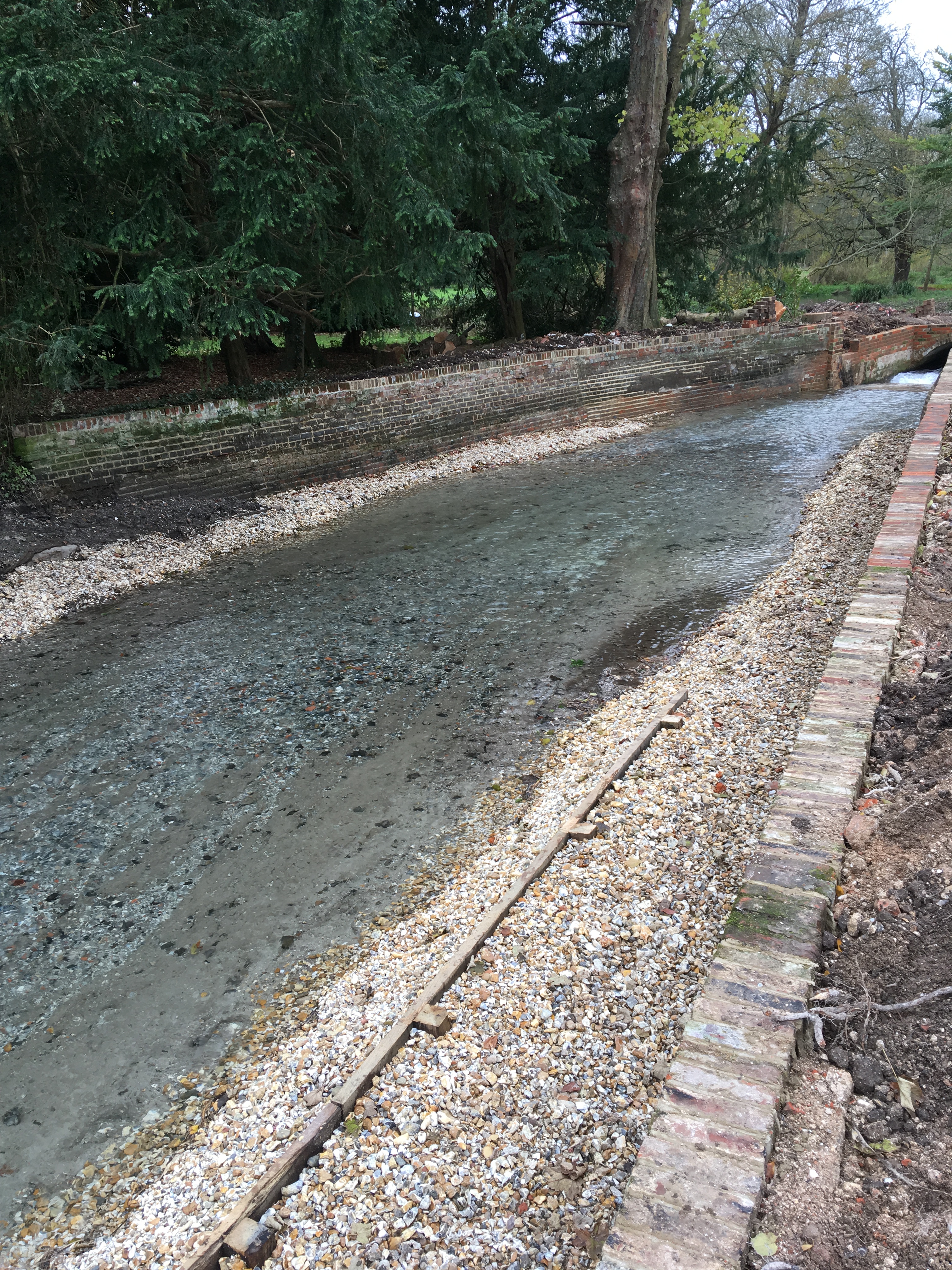
| 14:02, 20 February 2018 | Southington upstream of structure finished 2017.JPG (file) |  |
5.1 MB | Heb leman | Image showing location off removed structure and channel flowing again | 1 |
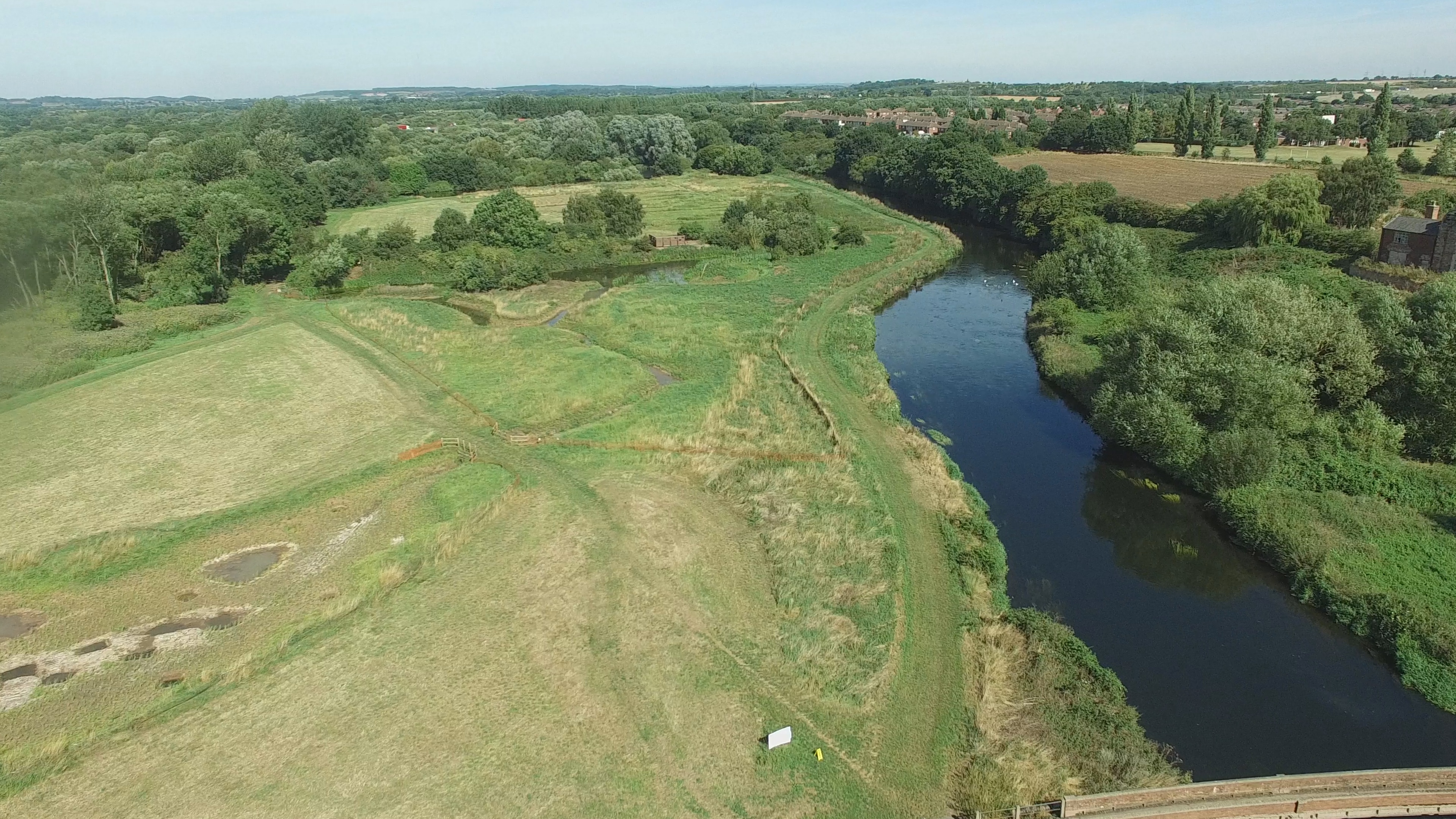
| 08:30, 20 February 2018 | DJI 0675.jpg (file) |  |
1.14 MB | Hbarclay | 1 | |
| 21:22, 19 February 2018 | Image2.jpg (file) |  |
2.87 MB | TameValley | 1 | |
| 20:43, 19 February 2018 | Tracey Island after 26.10.16.jpg (file) |  |
351 KB | TameValley | 1 | |
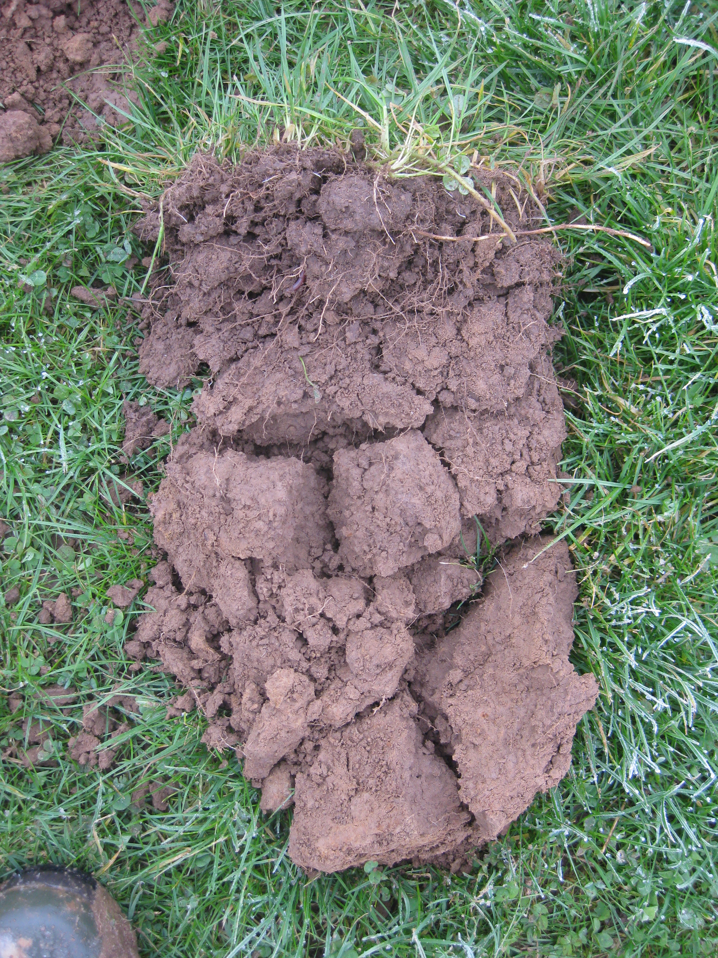
| 20:22, 16 February 2018 | Photo - Soil.jpg (file) |  |
5.85 MB | FWAGSW-H2L | Soil structure assessments aid farm-specific soil husbandry advice to improve infiltration (reduce run-off and erosion), build soil organic matter and improve soil health while benefiting farm businesses. | 1 |
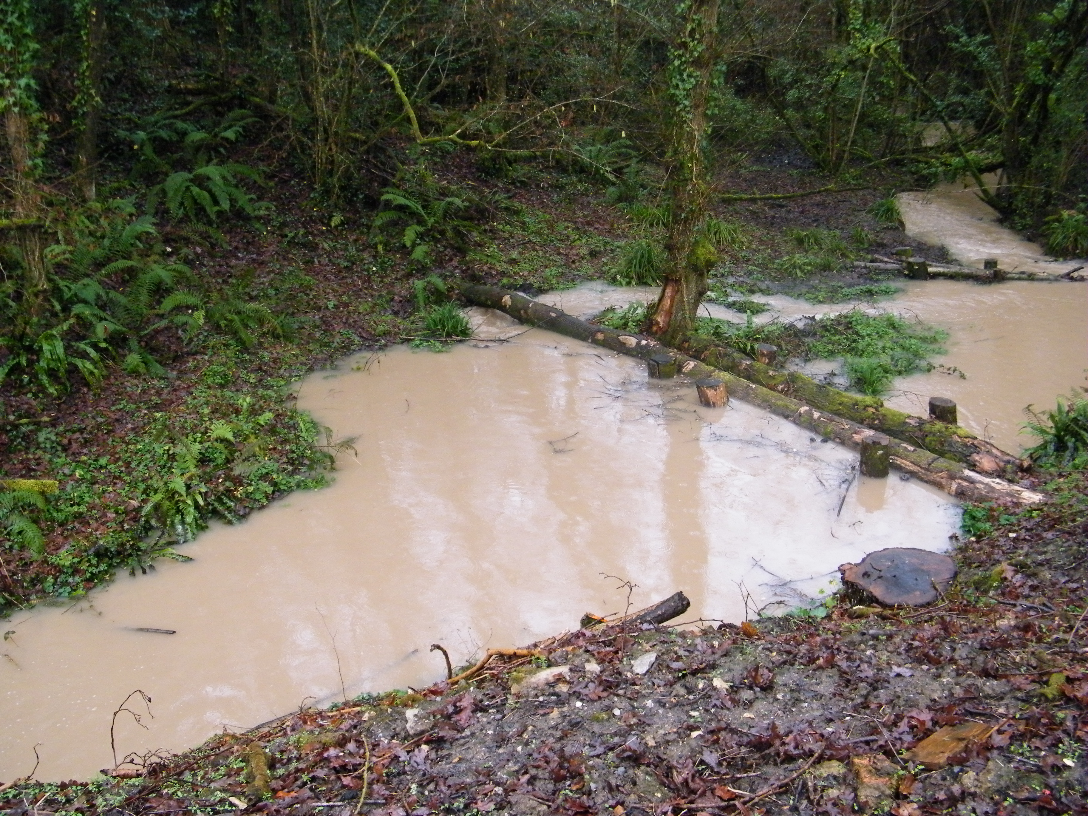
| 20:20, 16 February 2018 | Photo - Leaky Dams in Flood (24.1.18).jpg (file) | .jpg) |
3.48 MB | FWAGSW-H2L | Leaky woody dams slow the flow and temporarily store water on proto-floodplains | 1 |
| 20:17, 16 February 2018 | HILLStoLEVELScmyk (2).tif (file) | 786 KB | FWAGSW-H2L | Hills to Levels | 1 | |
| 20:13, 16 February 2018 | H2L Catchments.pdf (file) | 1.06 MB | FWAGSW-H2L | Hills to Levels is a county-wide initiative, working in all of Somerset's river catchments. | 1 |