File list
Jump to navigation
Jump to search
This special page shows all uploaded files.
| Date | Name | Thumbnail | Size | User | Description | Versions |
|---|---|---|---|---|---|---|
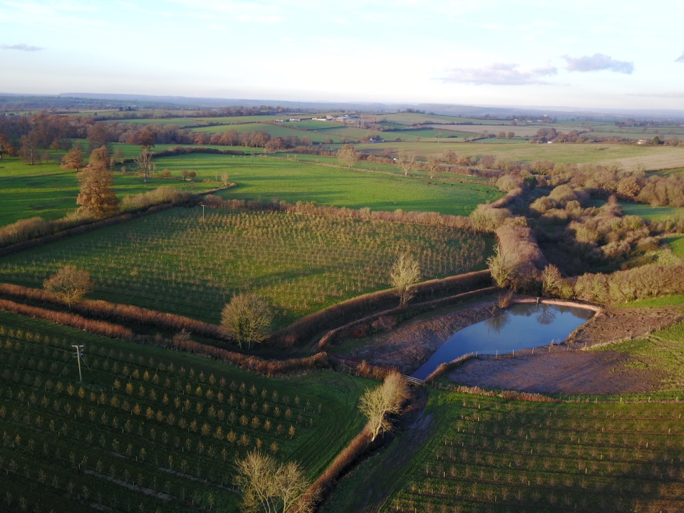
| 19:41, 16 February 2018 | Photo - Leaky Pond.jpg (file) |  |
360 KB | FWAGSW-H2L | One method that Hills to Levels is constructing leaky ponds and adapting existing ponds to improve flodowater storage capacity. This leaky pond in South Somerset has both a passive and controlled outlet. | 1 |
| 09:24, 16 February 2018 | Riverwiki2b.jpg (file) |  |
108 KB | Zara | 1 | |
| 09:24, 16 February 2018 | Riverwiki2a.jpg (file) |  |
55 KB | Zara | 1 | |
| 09:02, 16 February 2018 | Riverwiki1c.jpg (file) |  |
65 KB | Zara | 1 | |
| 09:02, 16 February 2018 | Riverwiki1b.jpg (file) |  |
345 KB | Zara | 1 | |
| 09:02, 16 February 2018 | Riverwiki1a.jpg (file) |  |
169 KB | Zara | 1 | |
| 16:17, 31 January 2018 | MW Canal.jpg (file) |  |
107 KB | Ahanson | Market Weighton Canal | 1 |
| 16:16, 31 January 2018 | Tophill Low South Lagoon.jpg (file) |  |
87 KB | Ahanson | South Lagoon, Tophill Low Nature Reserve (Yorkshire Water) | 1 |
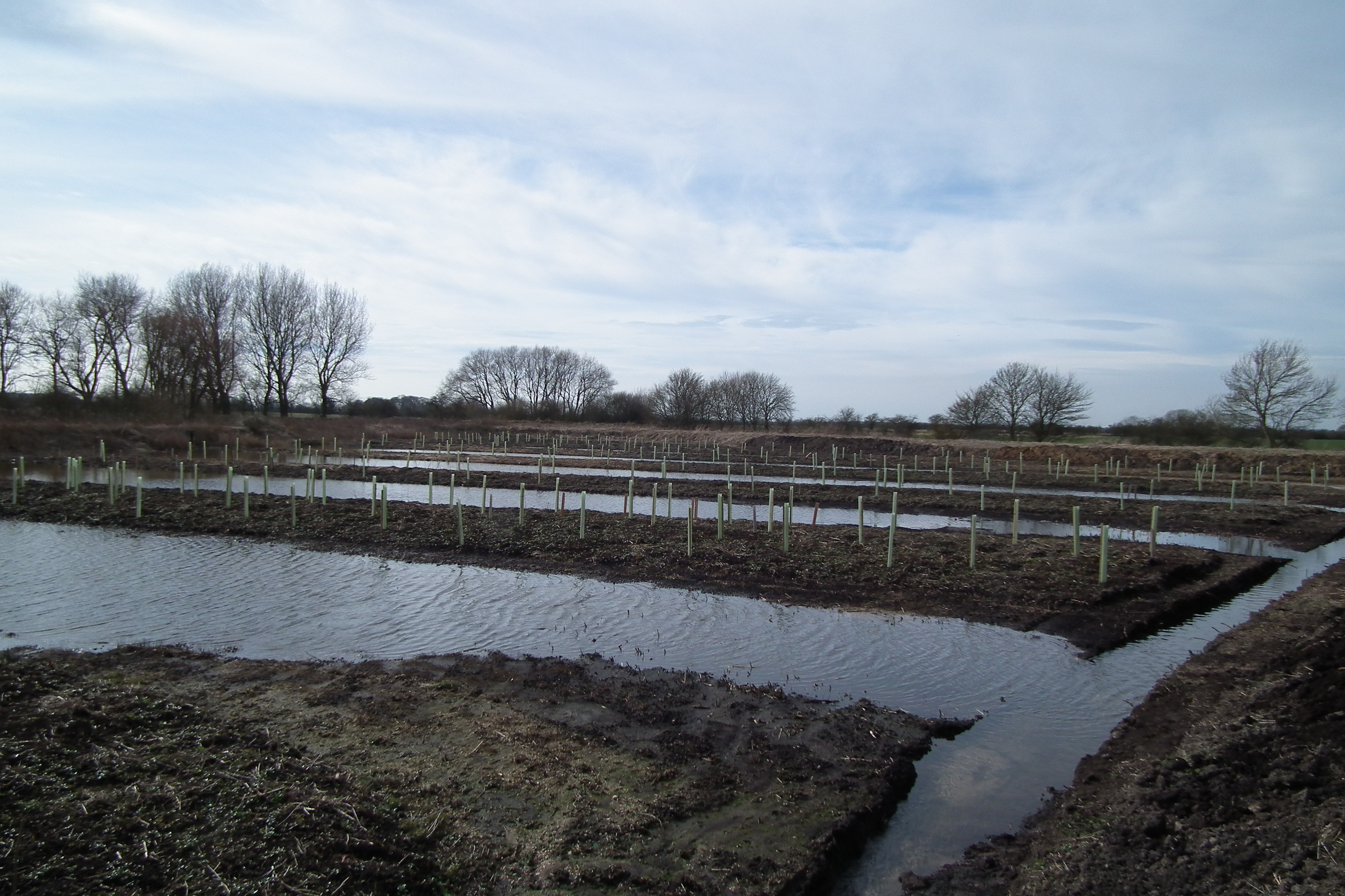
| 16:15, 31 January 2018 | Skerne wet woodland creation site credit J Traill.JPG (file) |  |
1.85 MB | Ahanson | Skerne Wetlands, River Hull Headwaters (Yorkshire Wildlife Trust) | 1 |
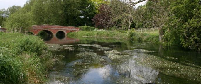
| 16:15, 31 January 2018 | Wansford Bridge.jpg (file) |  |
42 KB | Ahanson | River Hull at Wansford Bridge (Yorkshire Wildlife Trust) | 1 |
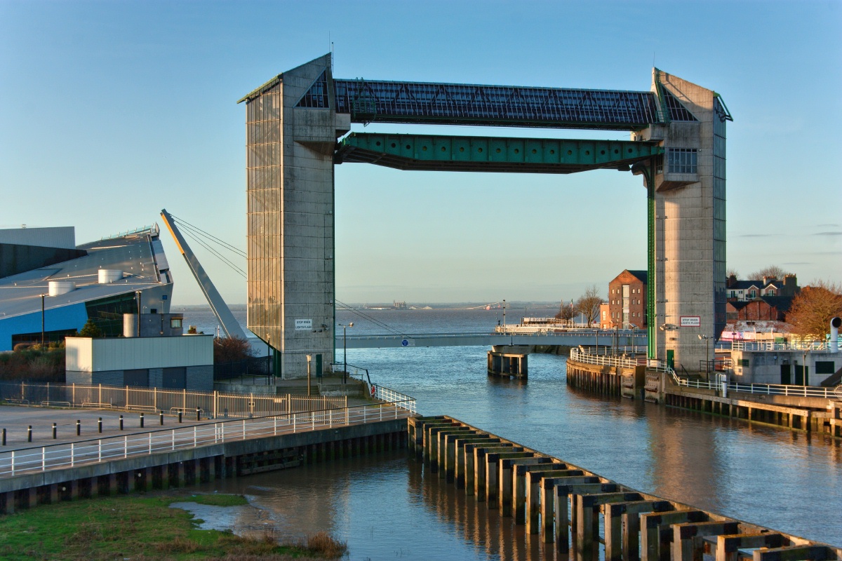
| 16:12, 31 January 2018 | River Hull Tidal Barrier.jpg (file) |  |
367 KB | Ahanson | River Hull Tidal Barrier (Hull City Council) | 1 |
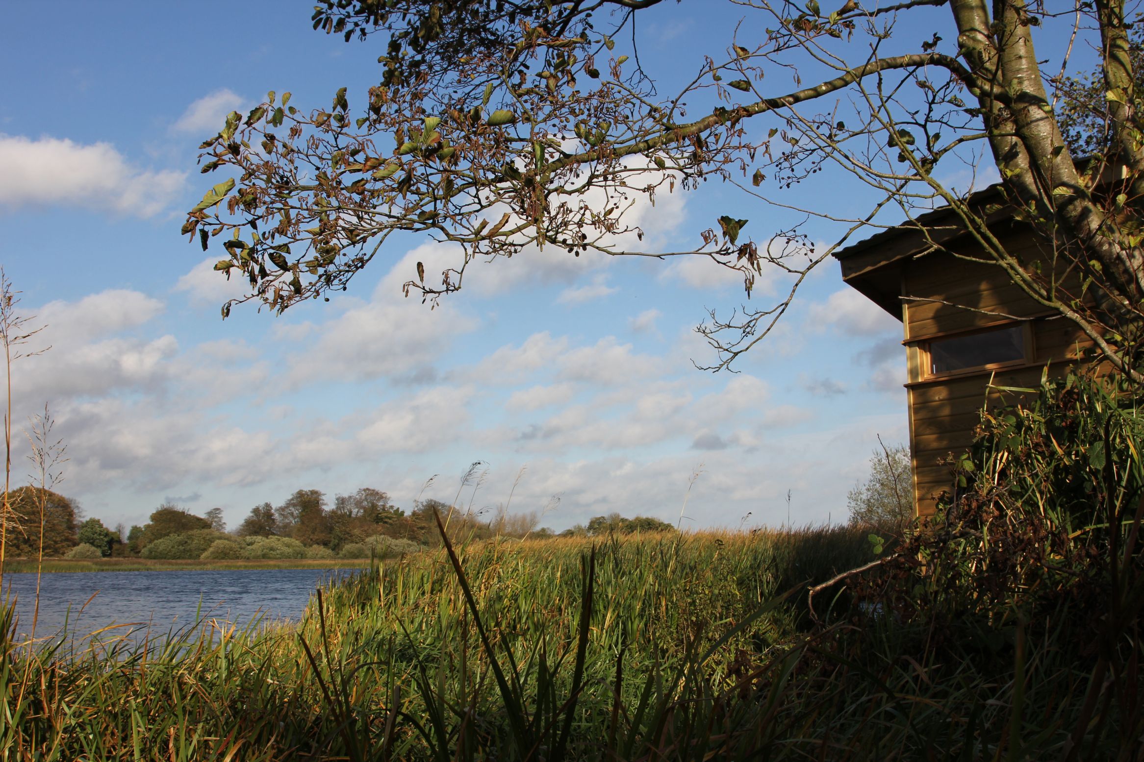
| 16:11, 31 January 2018 | Hornsea Mere & Hide - Jess Charlton (42).JPG (file) | .JPG) |
662 KB | Ahanson | Hornsea Mere & Hide - Jess Charlton | 1 |
| 16:10, 31 January 2018 | Boynton Bridge Gypsey Race.jpg (file) |  |
34 KB | Ahanson | Gypsey Race at Boynton Bridge (D Croft) | 1 |
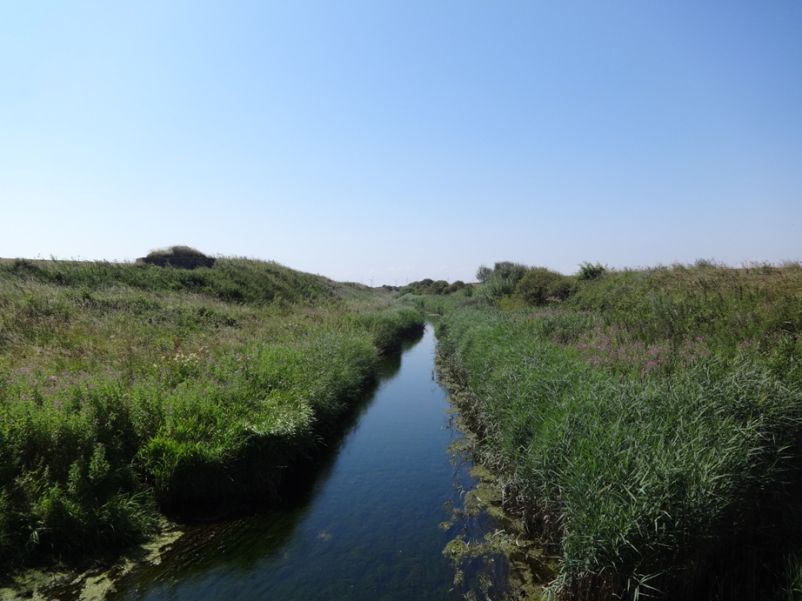
| 16:08, 31 January 2018 | Barmston Drain Photo.jpg (file) |  |
110 KB | Ahanson | Barmston Drain | 1 |
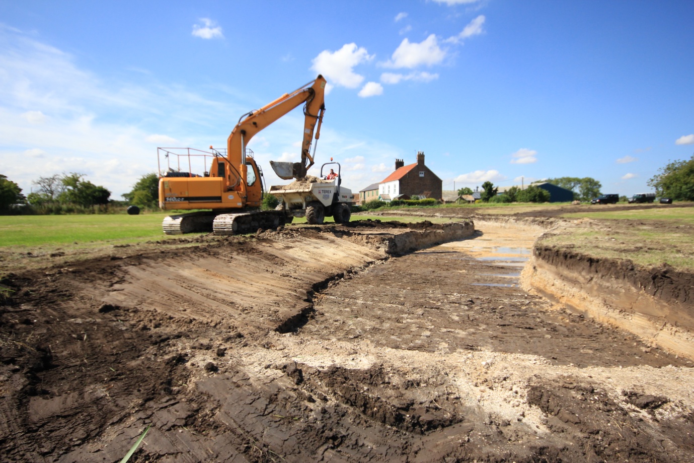
| 16:07, 31 January 2018 | 17-12-05 Lowthorpe Diversion Project.jpg (file) |  |
485 KB | Ahanson | Lowthorpe Diversion Project | 1 |
| 16:06, 31 January 2018 | 17-12-05 AquaGreen Image.jpg (file) |  |
45 KB | Ahanson | Hull AquaGreens Programme (urban SuDS) | 1 |
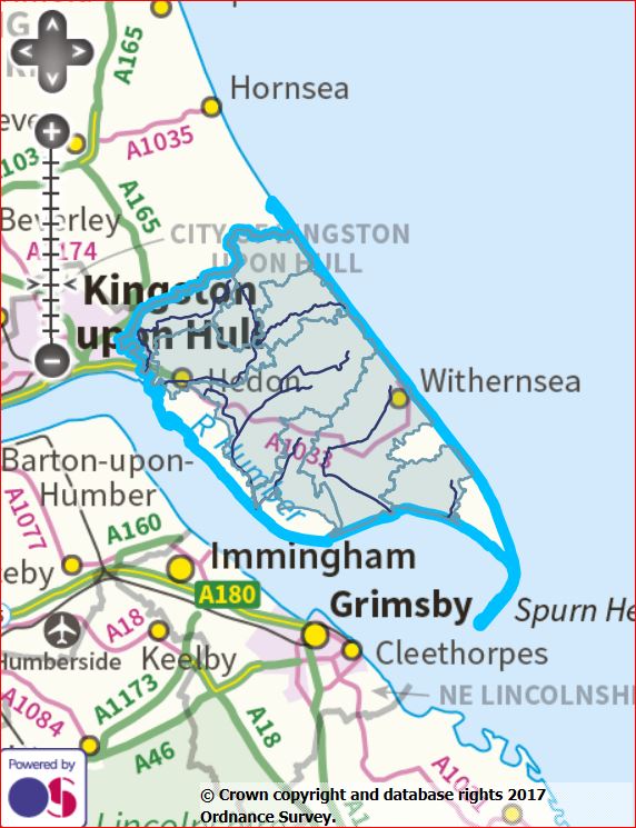
| 16:06, 31 January 2018 | South Holderness Drains.JPG (file) |  |
89 KB | Ahanson | South Holderness Drains (map) | 1 |
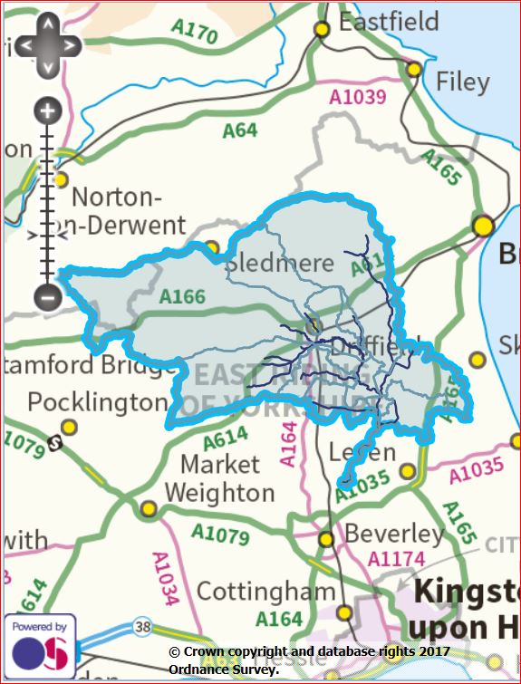
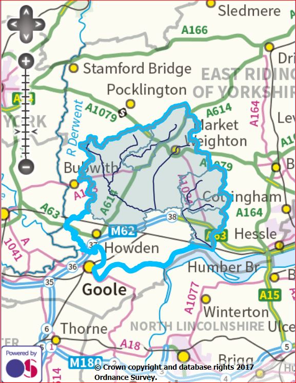
| 16:05, 31 January 2018 | Upper Hull.JPG (file) |  |
104 KB | Ahanson | Upper Hull (map) | 1 |
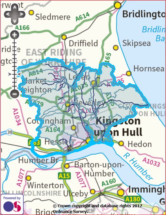
| 16:04, 31 January 2018 | Lower Hull.JPG (file) |  |
114 KB | Ahanson | Lower Hull (map) | 1 |
| 16:04, 31 January 2018 | Lower Hull Map.png (file) |  |
1.03 MB | Ahanson | Lower Hull (map) | 1 |
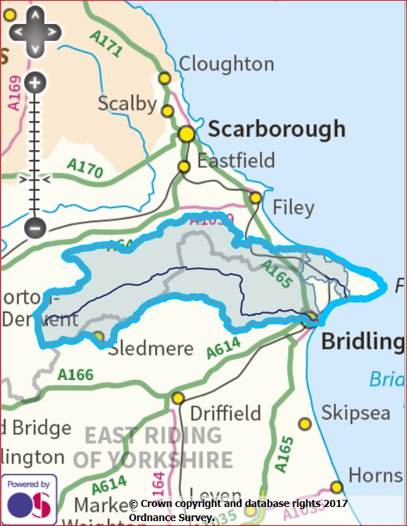
| 16:03, 31 January 2018 | Gypsey Race.JPG (file) |  |
86 KB | Ahanson | Gypsey Race (map) | 1 |
| 16:02, 31 January 2018 | Foulness.JPG (file) |  |
113 KB | Ahanson | River Foulness (map) | 1 |
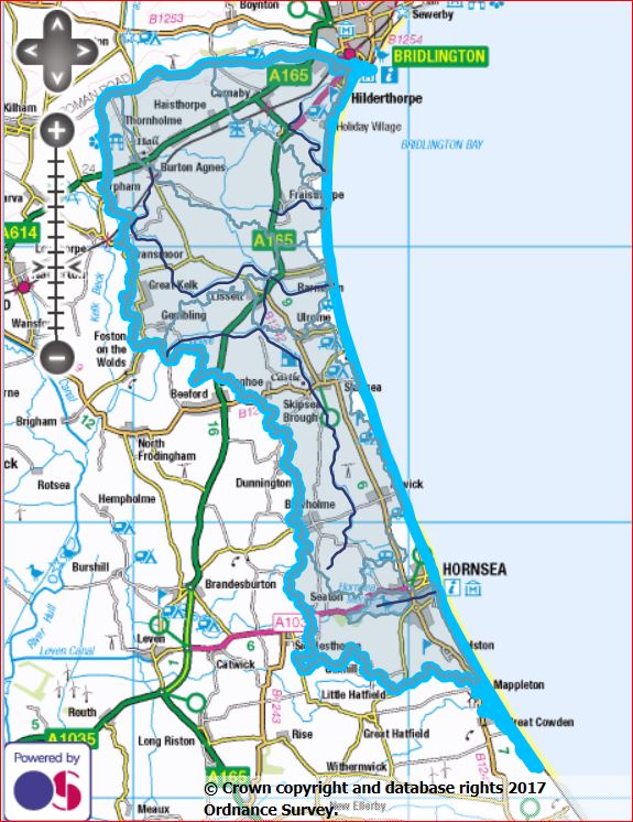
| 16:01, 31 January 2018 | Barmston Sea Drain.JPG (file) |  |
112 KB | Ahanson | Barmsston Sea Drain (map) | 1 |
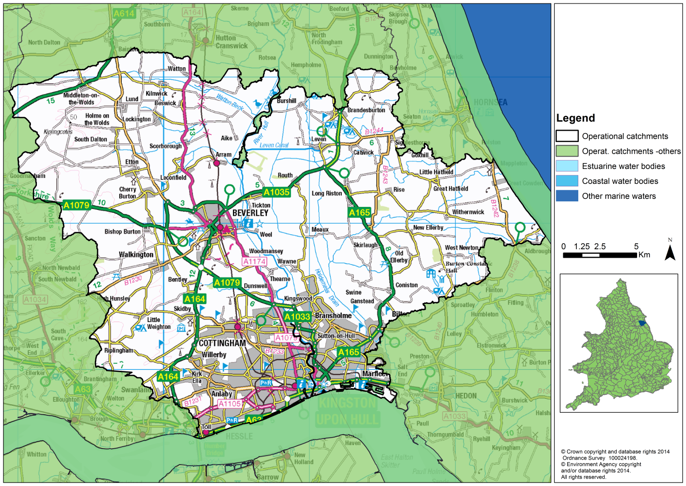
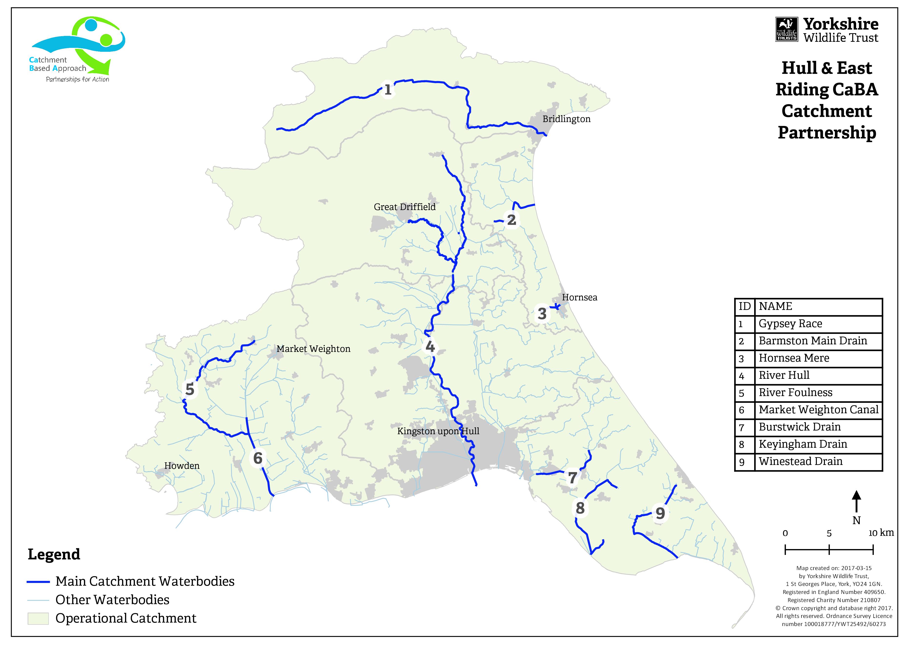
| 15:53, 31 January 2018 | 17-03-15 HER Operational Catchments v4.jpg (file) |  |
563 KB | Ahanson | In 2012, Defra introduced the catchment based approach (CaBA) - a community-led approach that engages people and groups from across society to help improve our water environments. Defra drives CaBA through a national network of catchment partnerships.... | 1 |
| 15:48, 31 January 2018 | Hull and East Riding Catchment Plan 2017 (Final).pdf (file) | 2.52 MB | Ahanson | In 2012, the UK's Department for the Environment, Food and Rural Affairs (Defra) introduced the catchment based approach (CaBA) - a community-led approach that engages people and groups from across society to help improve our water environments. Defra... | 1 | |
| 12:10, 30 October 2017 | BWM.JPG (file) |  |
1.13 MB | Alan Graham | 1 | |
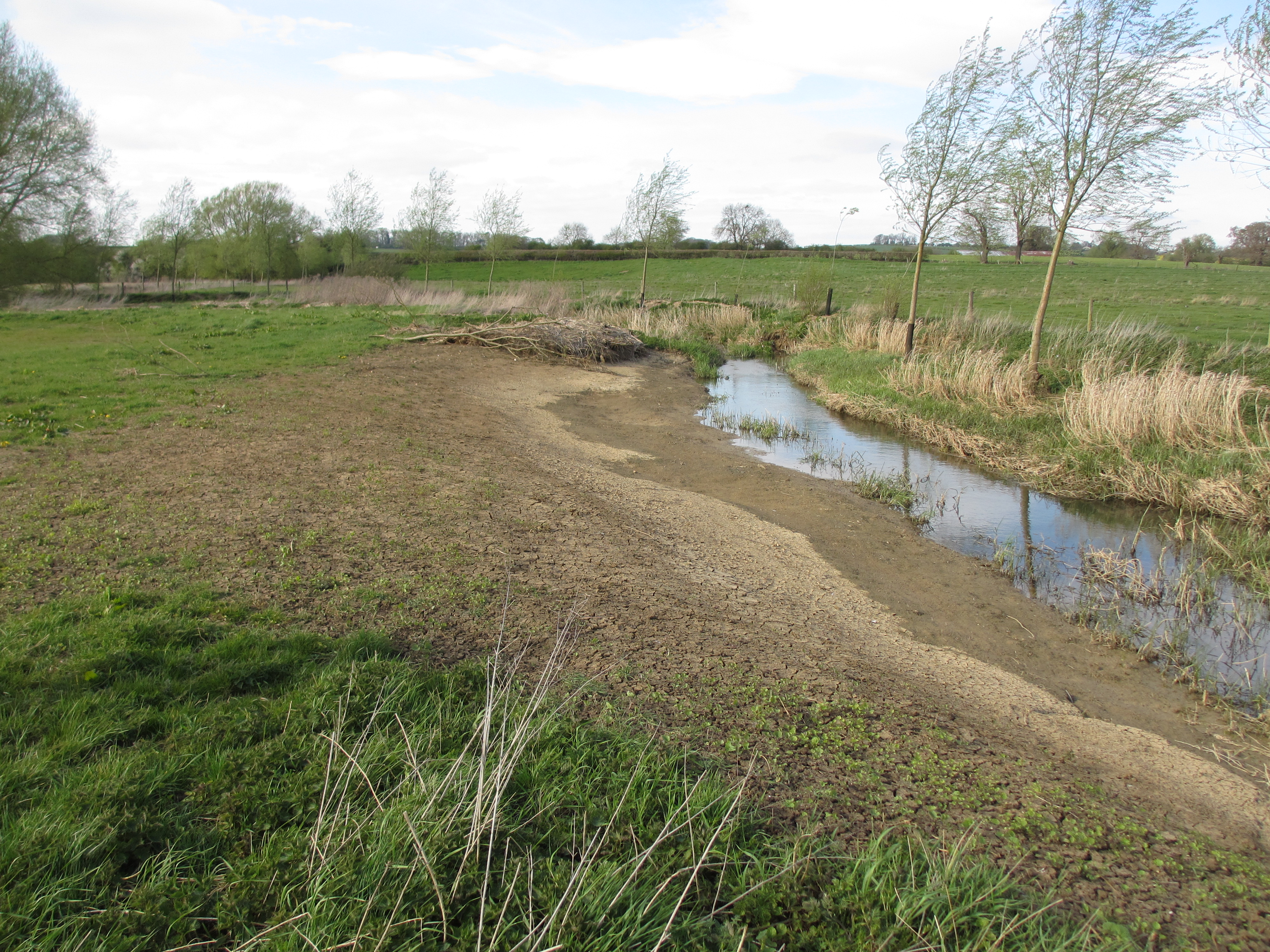
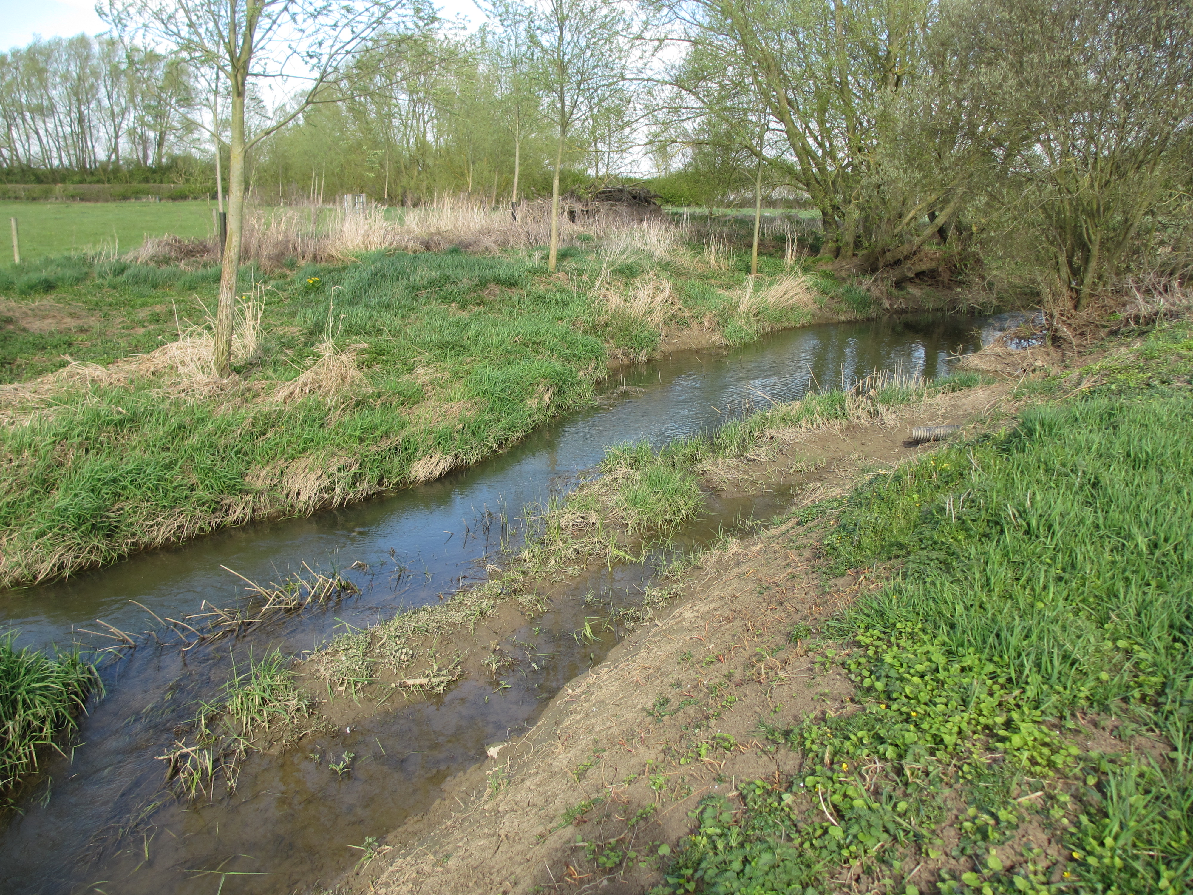
| 12:06, 30 October 2017 | Re profiled bank 2.JPG (file) |  |
4.18 MB | Alan Graham | 1 | |
| 12:04, 30 October 2017 | Re profiled bank.JPG (file) |  |
4.65 MB | Alan Graham | 1 | |
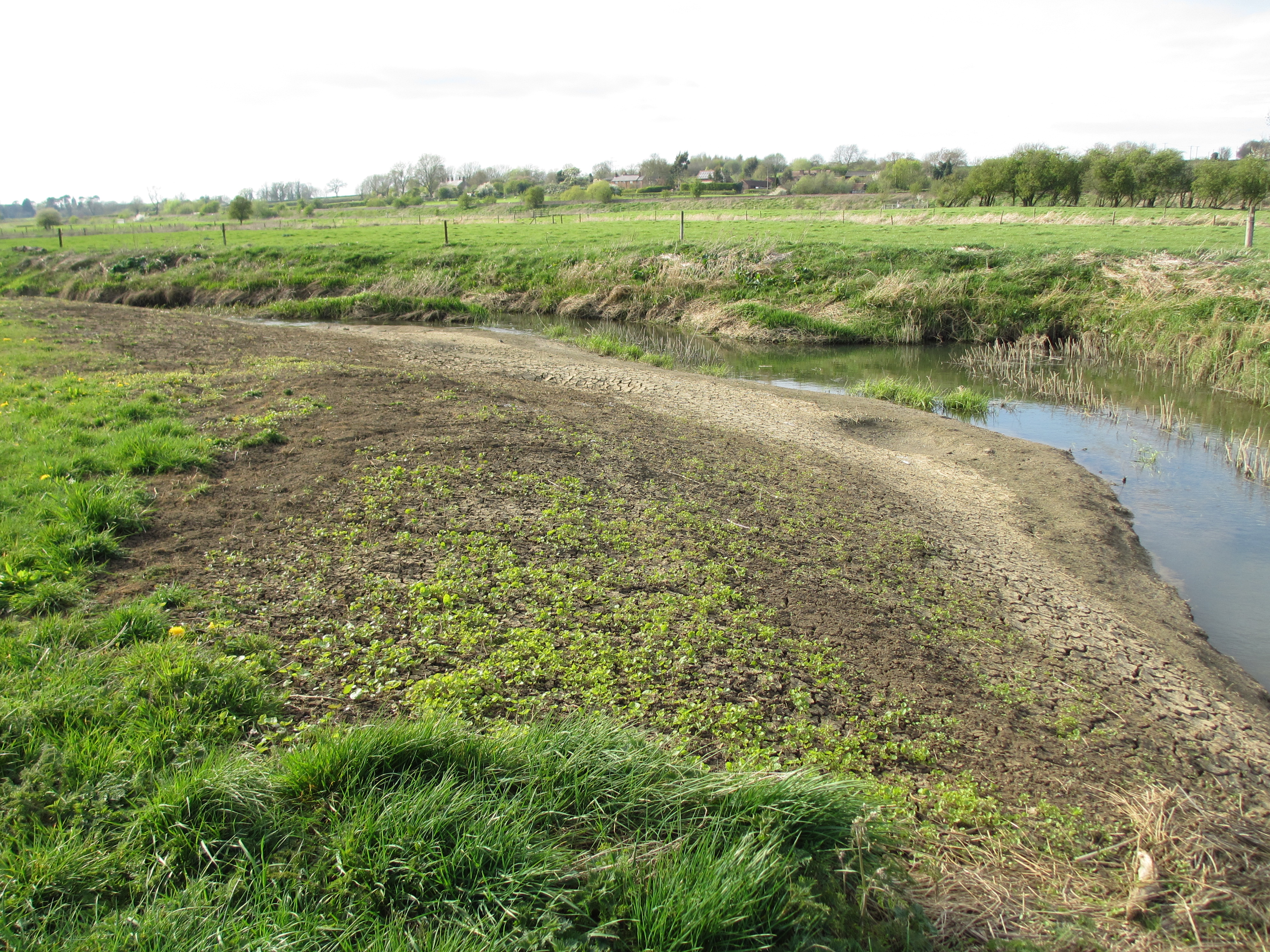
| 12:01, 30 October 2017 | Channel narrowing.JPG (file) |  |
4.81 MB | Alan Graham | 1 | |
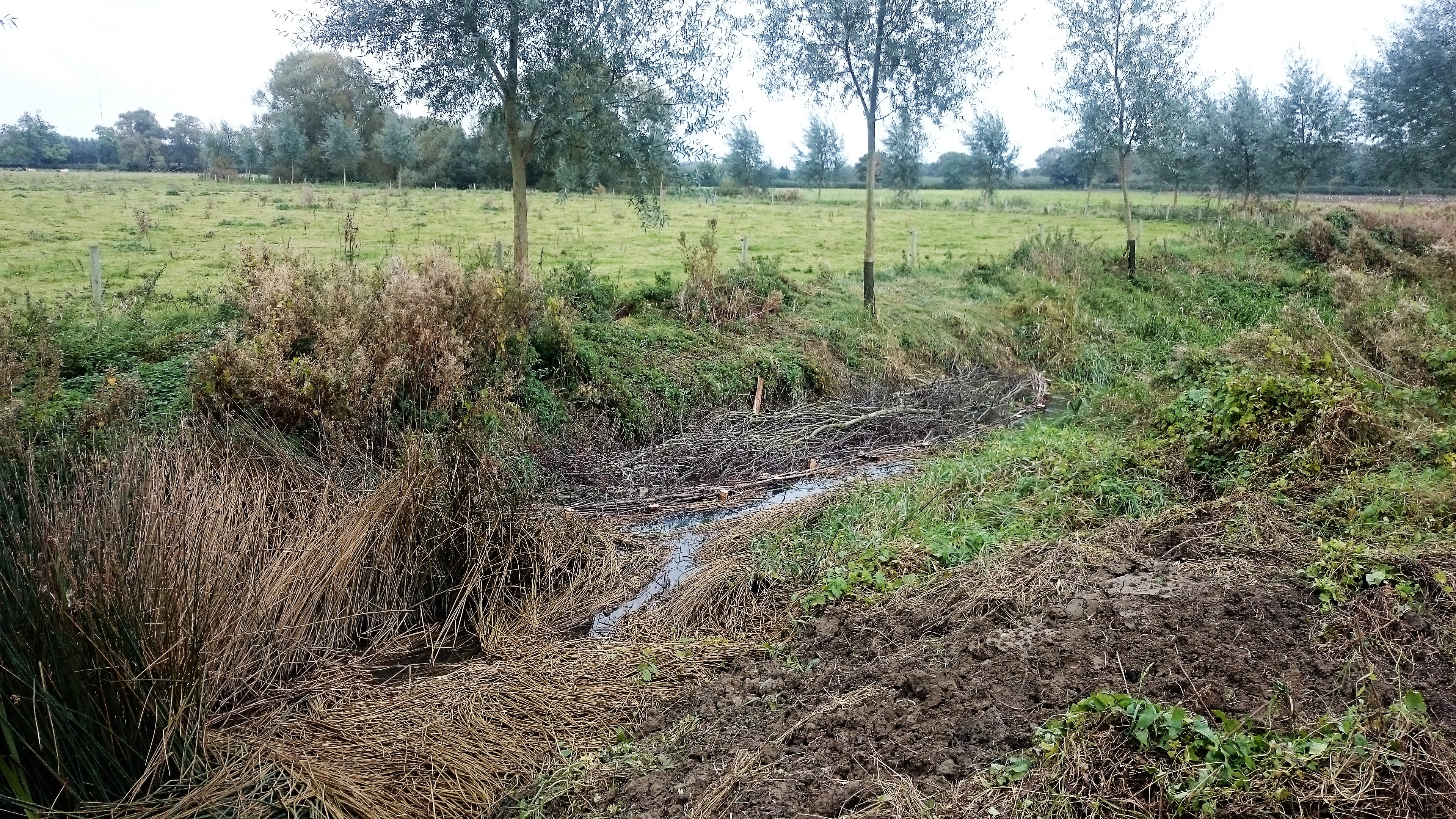
| 10:35, 30 October 2017 | Brushwood mattresse.JPG (file) |  |
4.55 MB | Alan Graham | 1 | |
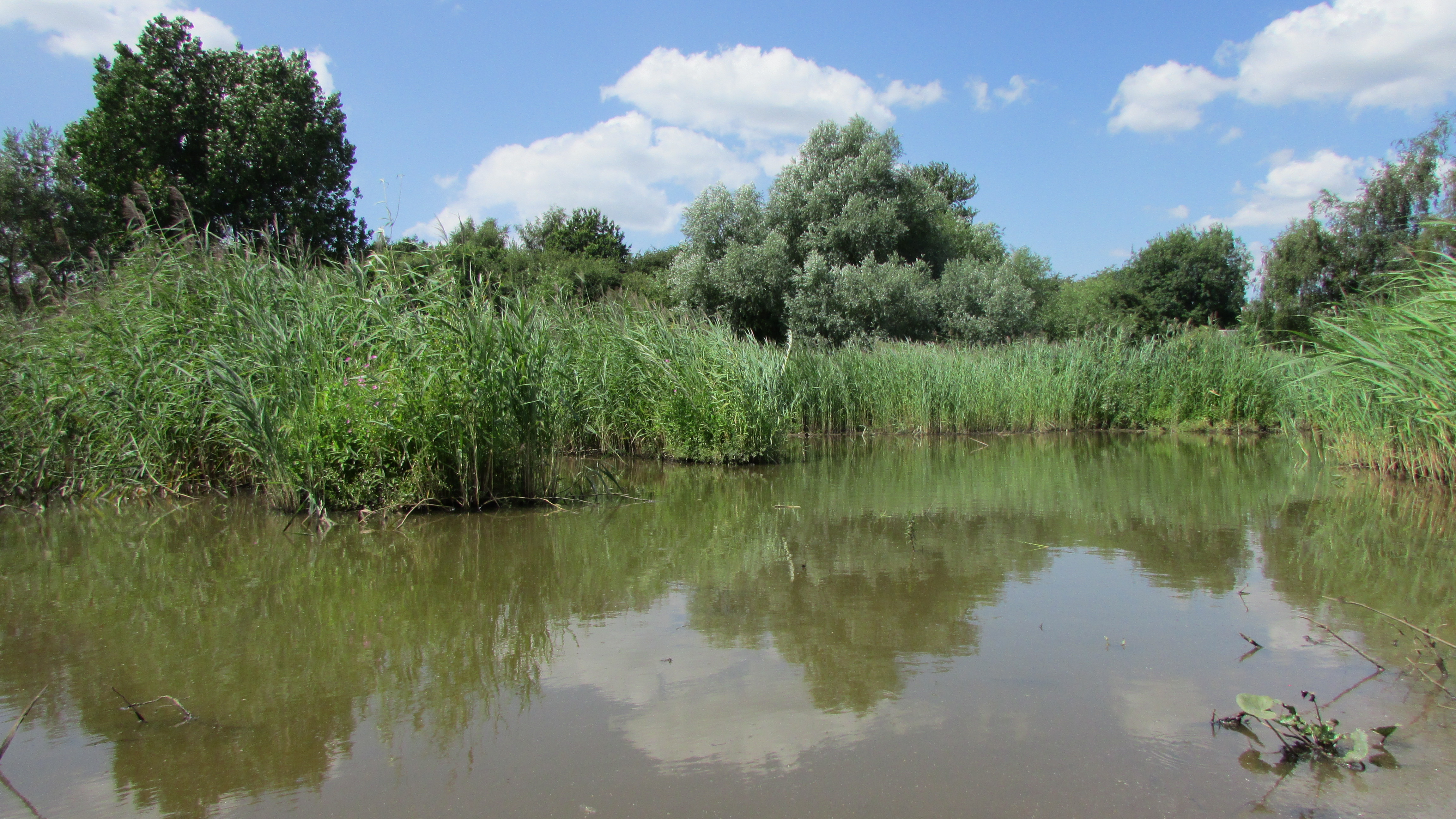
| 16:16, 25 August 2017 | Completed reedbed.JPG (file) |  |
3.51 MB | TimPrecious | 1 | |
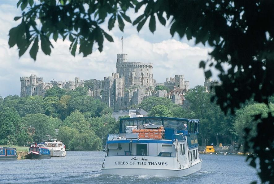
| 08:53, 16 August 2017 | 6 - Thames.jpg (file) |  |
139 KB | Ascarr | 1 | |
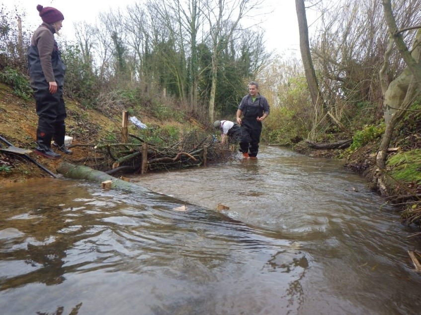
| 09:55, 29 June 2017 | Dunston beck work party pic for newsletter.jpg (file) |  |
198 KB | Lincsrivers | 1 | |
| 08:30, 13 June 2017 | Biomatrix-logo2.png (file) | 37 KB | Alexrrc | 1 | ||
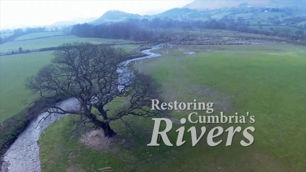
| 09:42, 23 May 2017 | CRRS.jpg (file) |  |
102 KB | Alexrrc | 1 | |
| 16:27, 1 March 2017 | DSC 0250.JPG (file) |  |
2.25 MB | Pearlsinperil | 1 | |
| 16:27, 1 March 2017 | DSC 0249.JPG (file) |  |
2.23 MB | Pearlsinperil | 1 | |
| 16:26, 1 March 2017 | DSC 0246.JPG (file) |  |
2.3 MB | Pearlsinperil | 1 | |
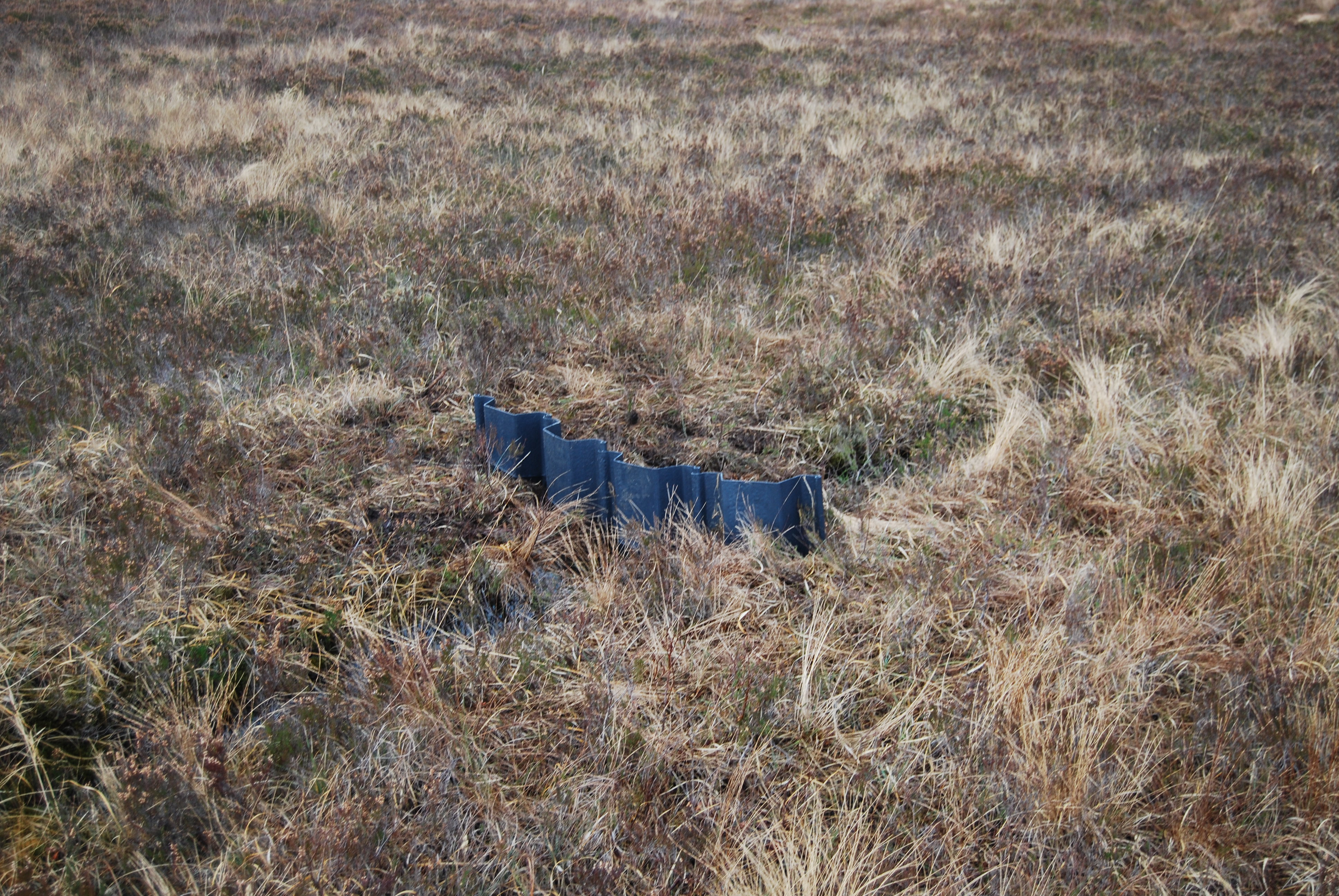
| 16:25, 1 March 2017 | DSC 0245.JPG (file) |  |
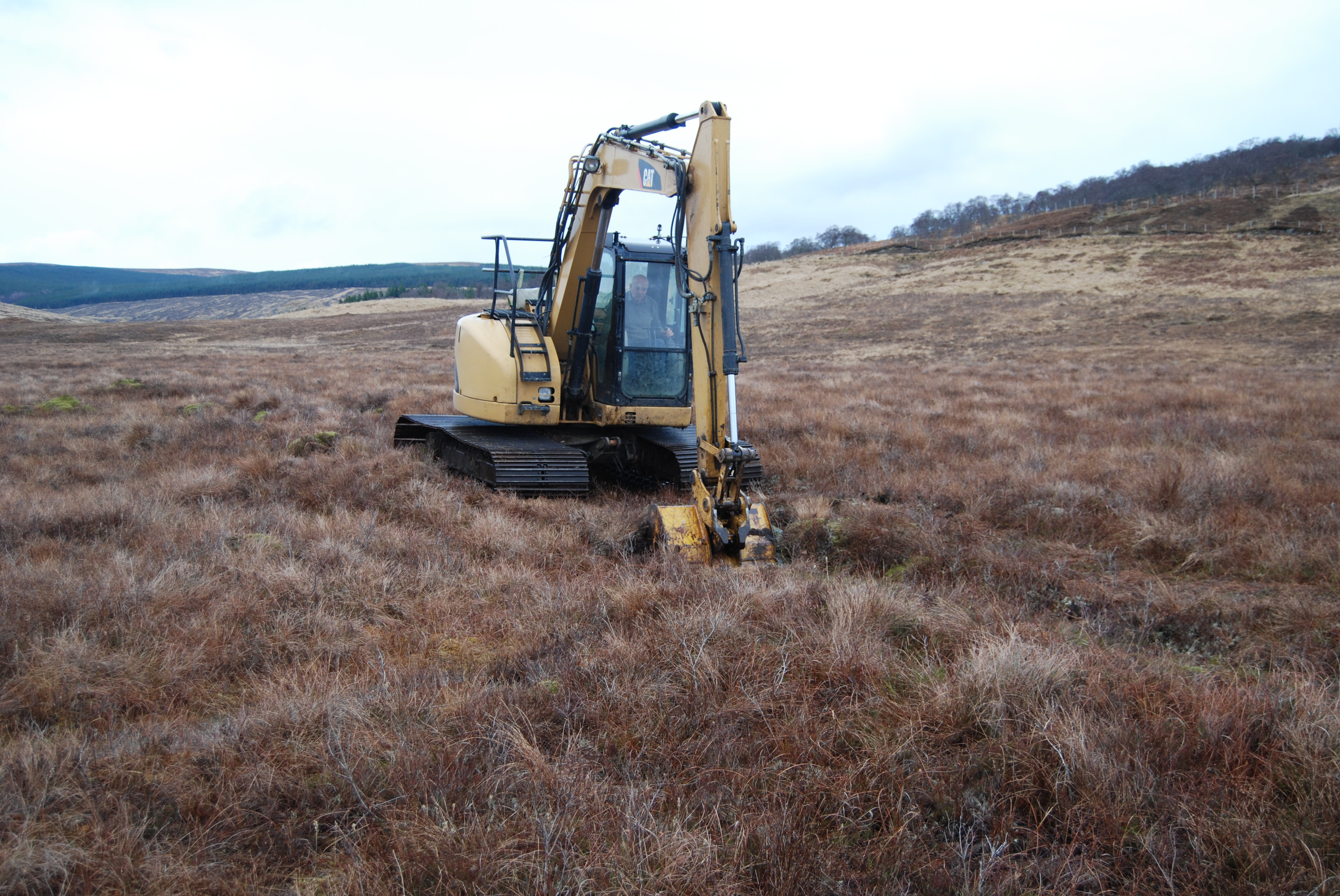
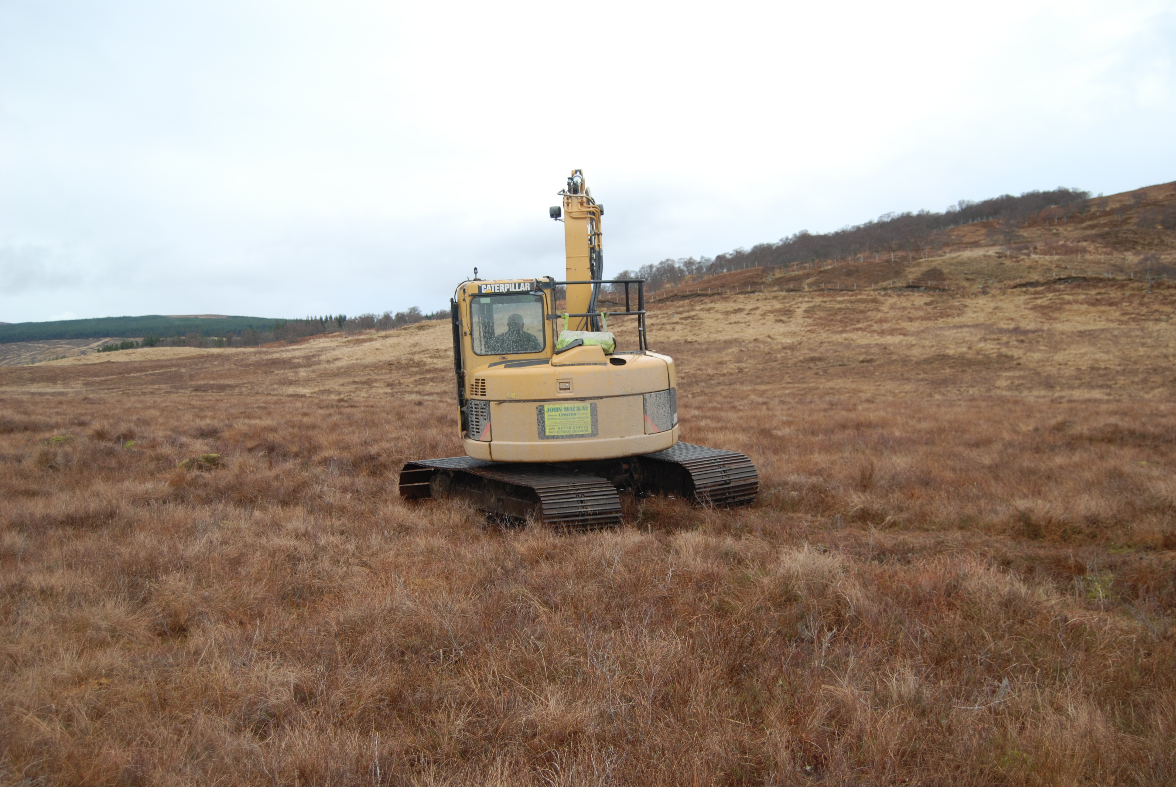
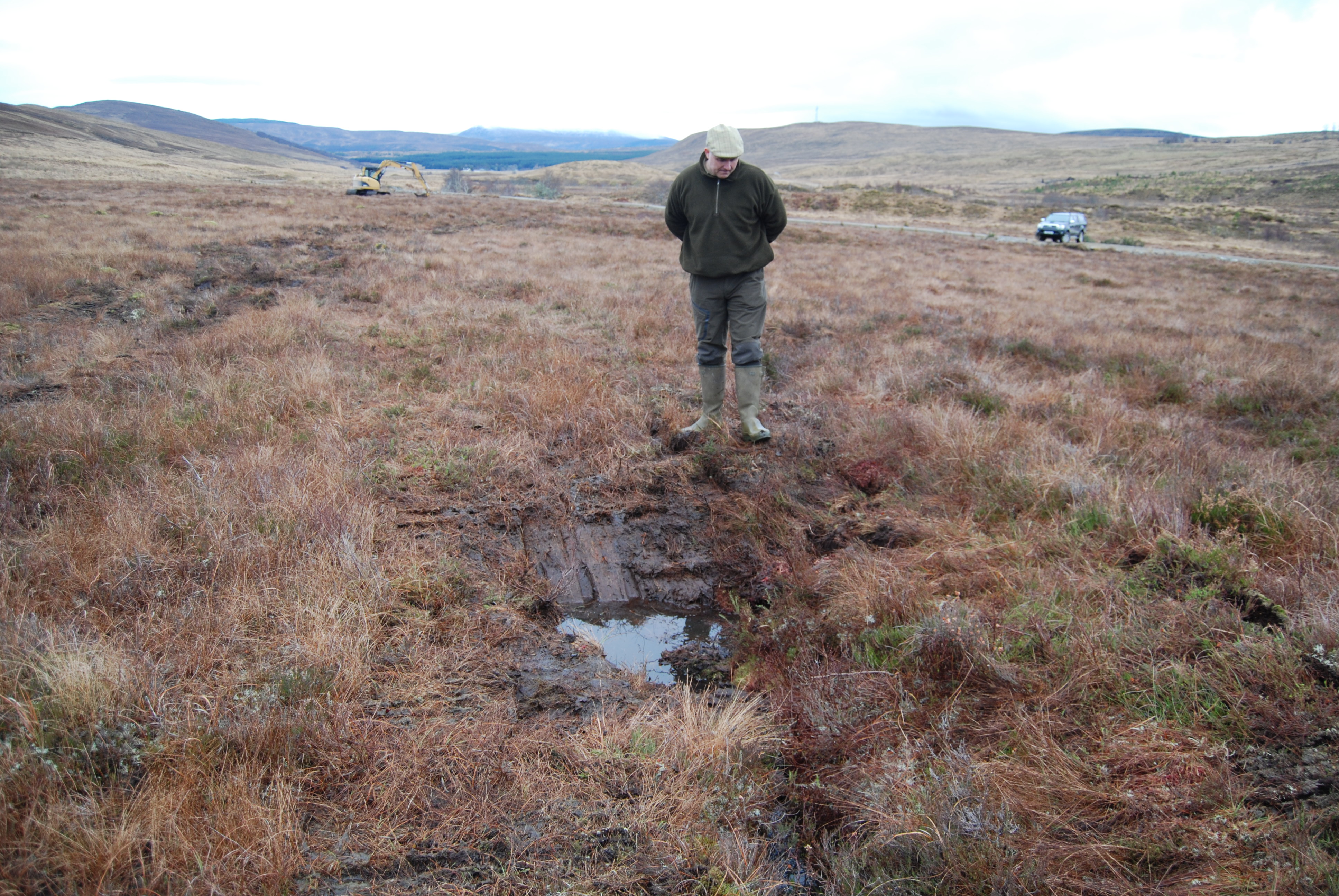
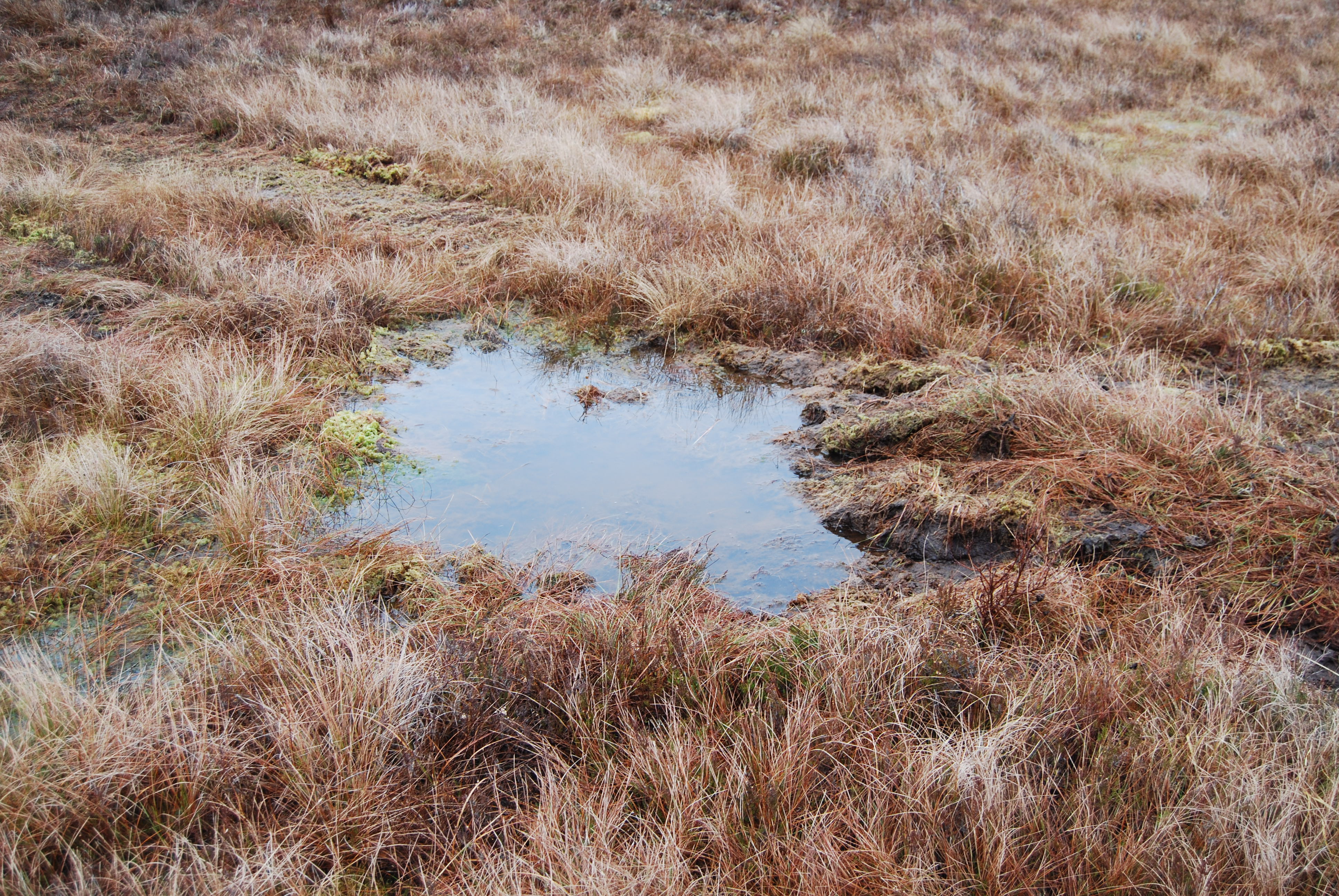
2.43 MB | Pearlsinperil | ditch blocking on the river Oykel - (A2206481) | 1 |
| 16:24, 1 March 2017 | DSC 0236.JPG (file) |  |
2.35 MB | Pearlsinperil | Ditch blocking on the River Oykel (A2206481) | 1 |
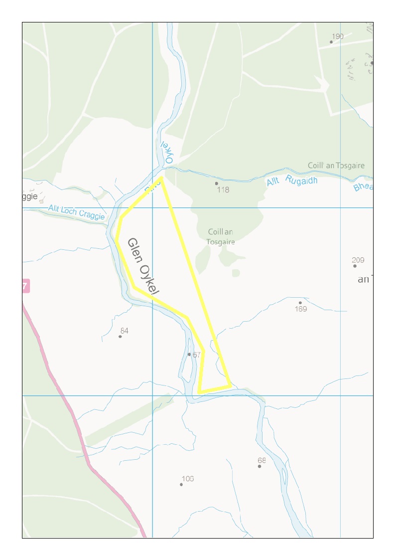
| 16:18, 1 March 2017 | Ditch Blocking Upper Oykel - A2168792.jpg (file) |  |
104 KB | Pearlsinperil | Map of ditch blocking in the Upper Oykel | 1 |
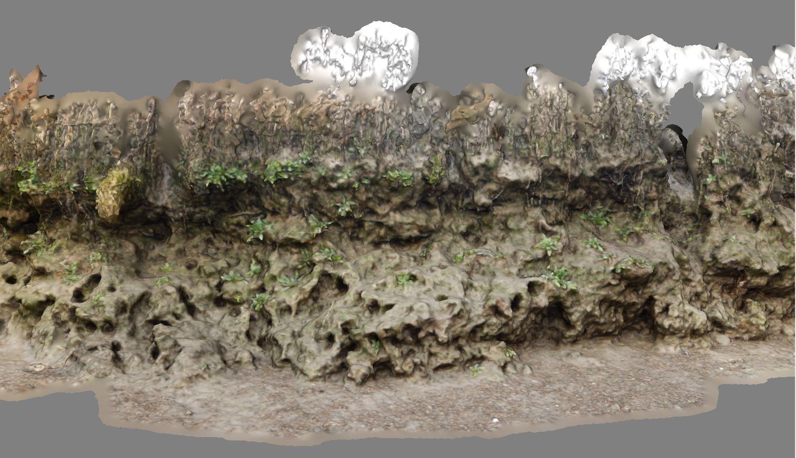
| 08:47, 11 February 2017 | East bank 2017.JPG (file) |  |
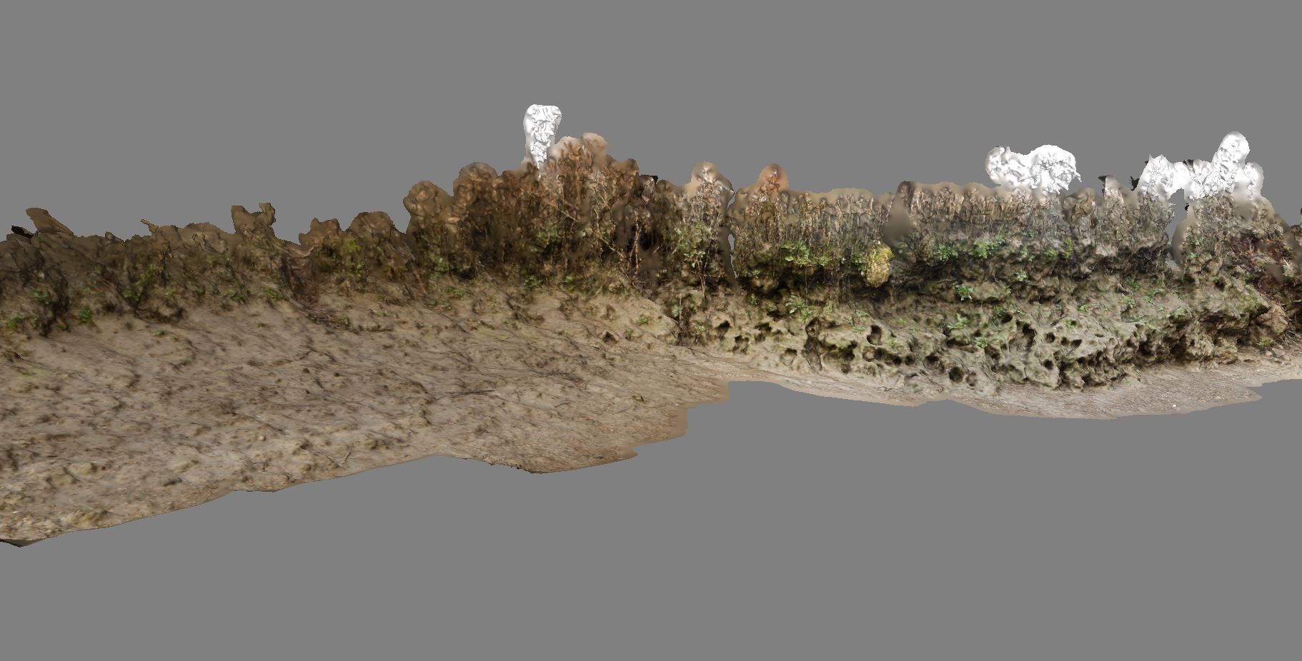
491 KB | Mobilitydream | Photogrammetry model of the East bank of Chiswick Eyot showing crab burrows and erosion. | 1 |
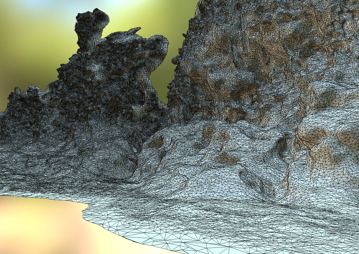
| 08:34, 11 February 2017 | East bank 01022017.JPG (file) |  |
241 KB | Mobilitydream | More detail from a photogrammetry model made this year of the east bank | 1 |
| 08:32, 11 February 2017 | 01022017 east bank and flat.JPG (file) |  |
178 KB | Mobilitydream | Photogrammetry model of part of the east bank | 1 |
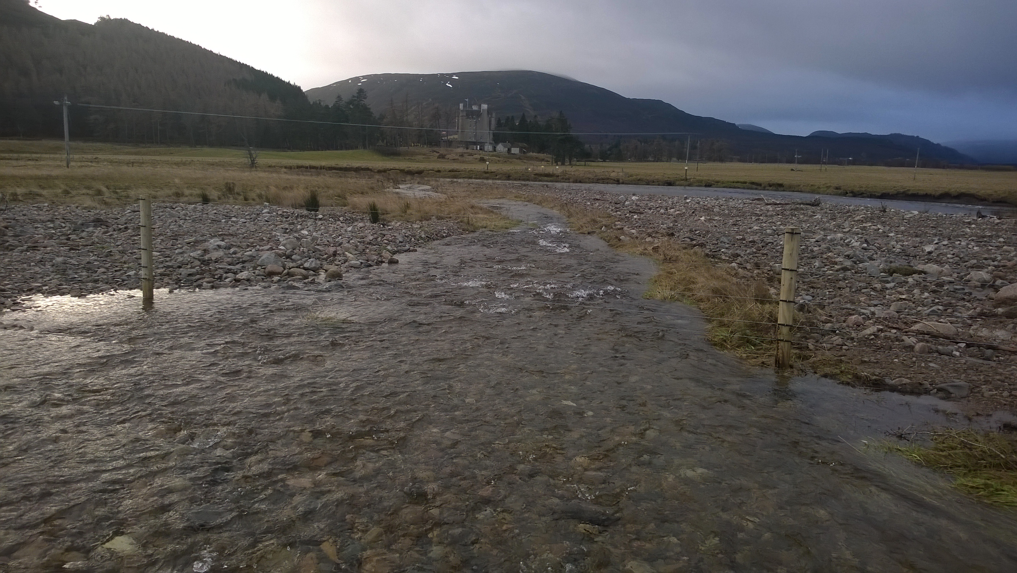
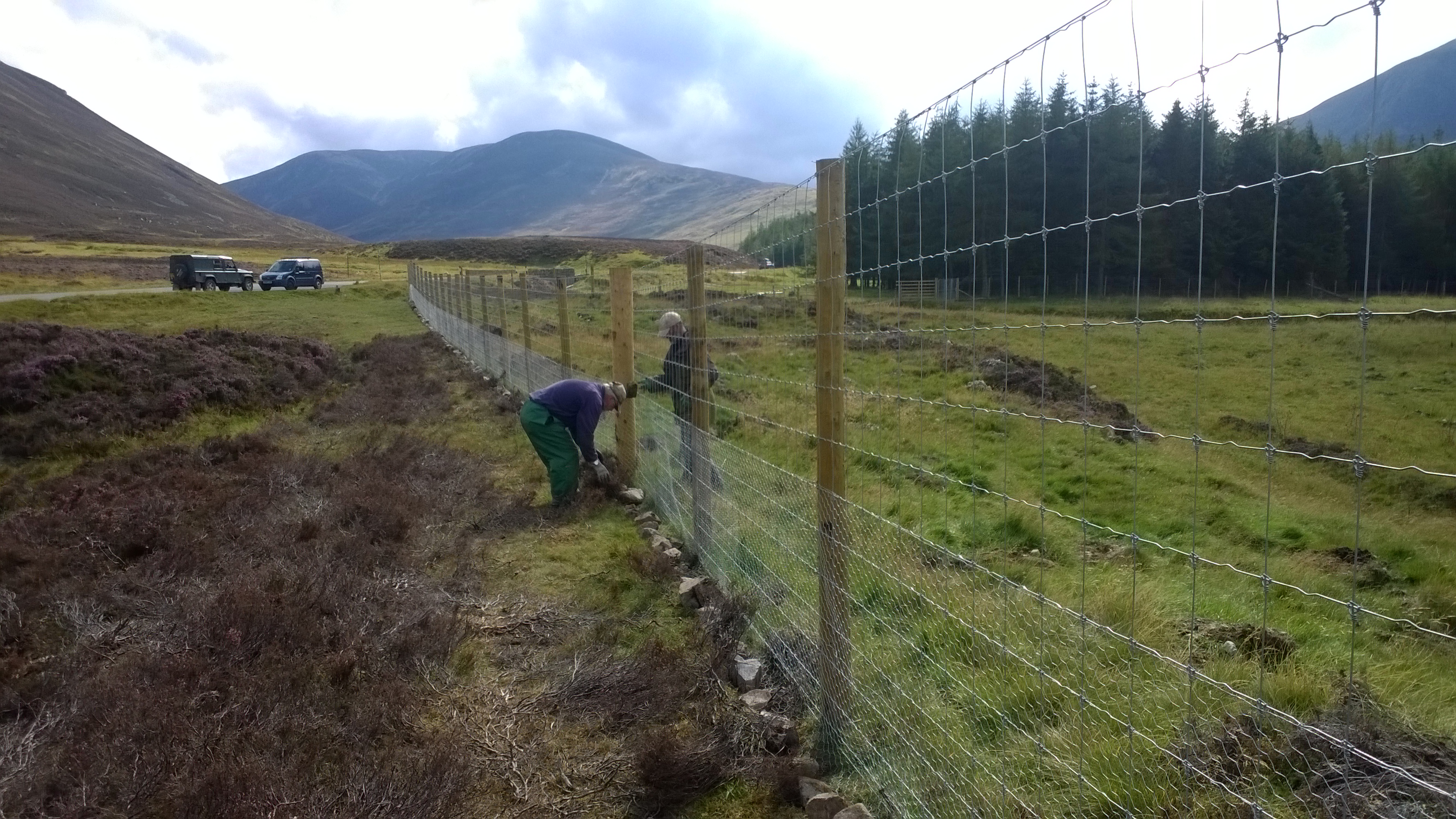
| 11:31, 9 February 2017 | PiP Project Officer Steff Ferguson checking out tree enclosures along the River Dee.jpg (file) |  |
2.9 MB | Pearlsinperil | 2 | |
| 14:13, 6 February 2017 | January 2017 PiP Planting Overview.pdf (file) | 9.35 MB | Pearlsinperil | 1 | ||
| 14:09, 6 February 2017 | WP 20170110 019.jpg (file) |  |
2.57 MB | Pearlsinperil | 1 | |
| 14:07, 6 February 2017 | WP 20150925 11 25 39 Pro.jpg (file) |  |
777 KB | Pearlsinperil | 2 | |
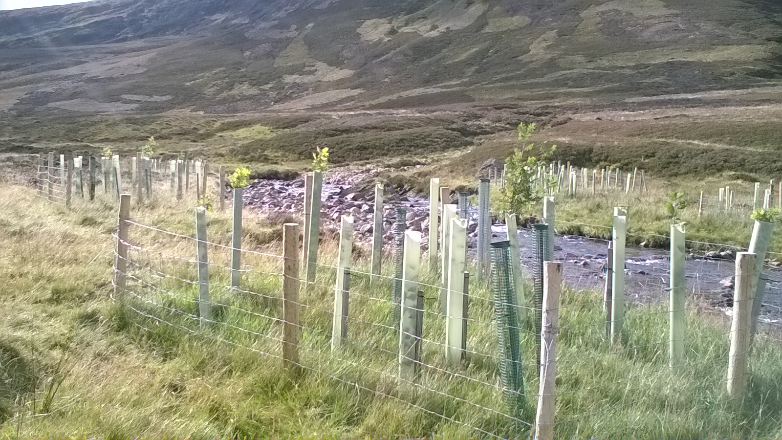
| 14:05, 6 February 2017 | Wide water margin, Tarland 2.JPG (file) |  |
2.67 MB | Pearlsinperil | 4 | |
| 13:58, 6 February 2017 | Clunie Baddoch woods.jpg (file) |  |
2.67 MB | Pearlsinperil | 1 |