File list
Jump to navigation
Jump to search
This special page shows all uploaded files.
| Date | Name | Thumbnail | Size | User | Description | Versions |
|---|---|---|---|---|---|---|
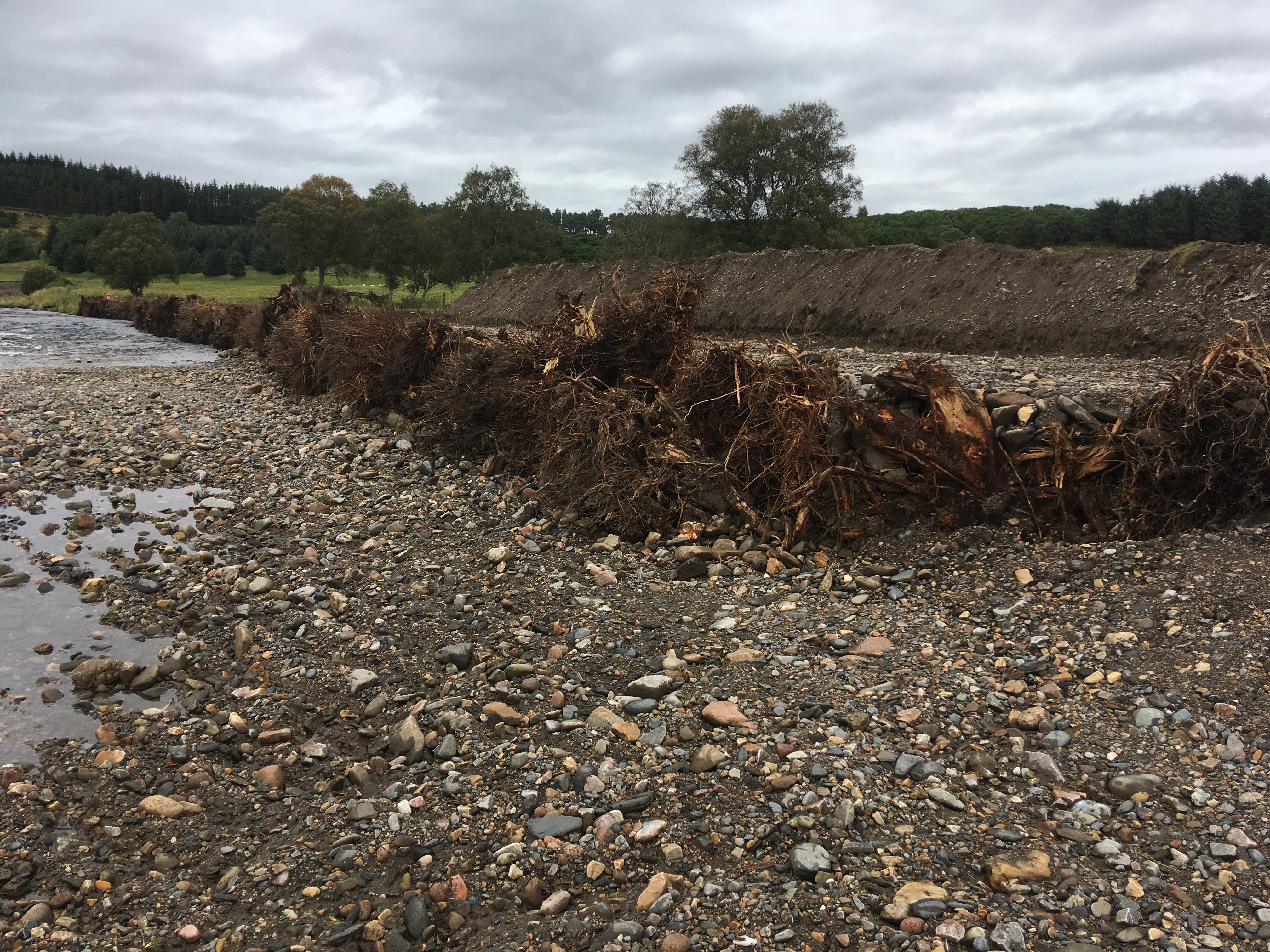
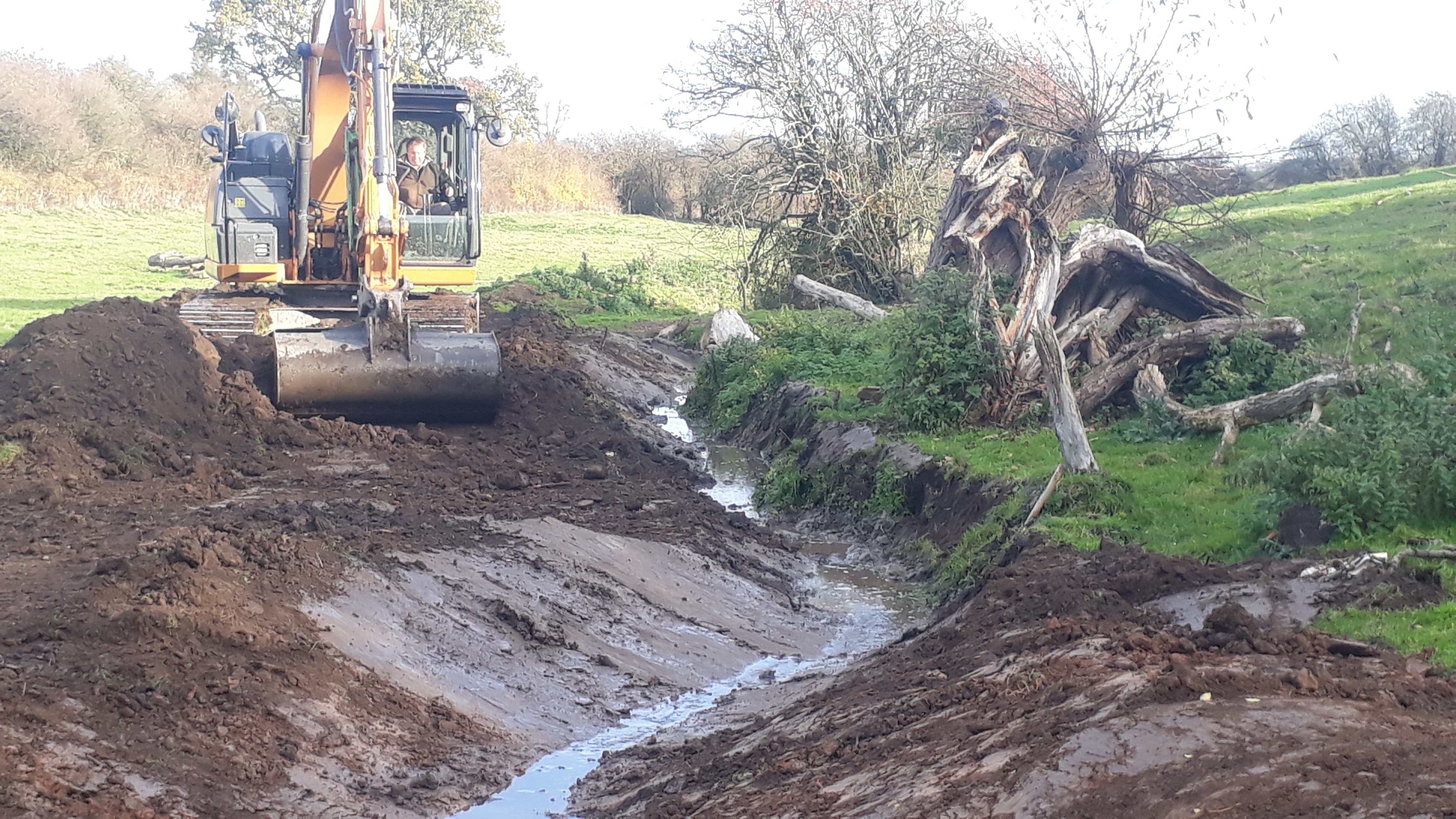
| 16:31, 28 July 2020 | Fordmouth log revetment 2.jpeg (file) |  |
4.39 MB | JosMilner | 1 | |
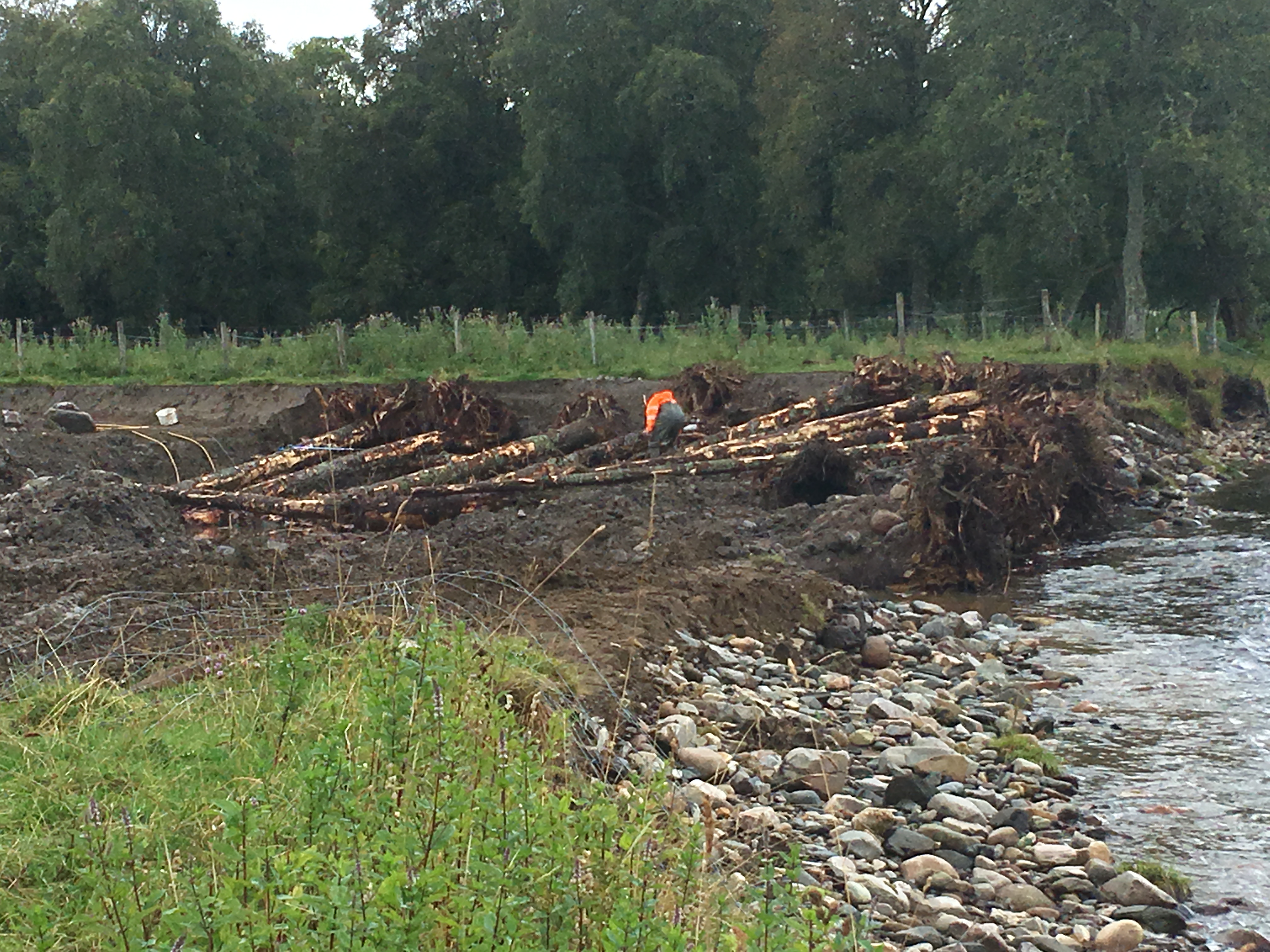
| 16:23, 28 July 2020 | 19 09 03 Fordmouth ECOW 6.JPG (file) |  |
2.35 MB | JosMilner | 1 | |
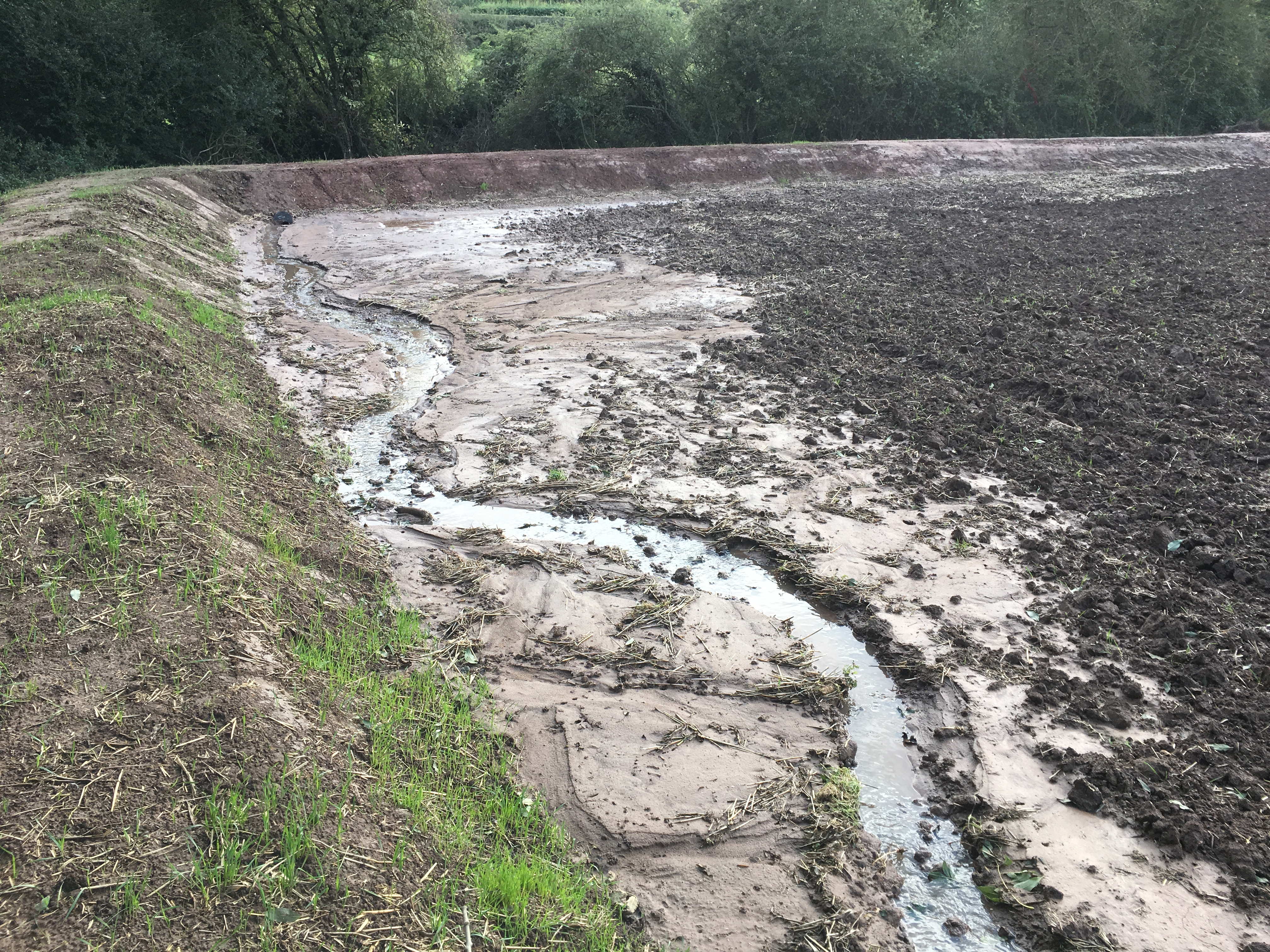
| 16:16, 28 July 2020 | 19 09 02 Fordmouth ECOW 2.JPG (file) |  |
4.47 MB | JosMilner | 1 | |
| 16:11, 28 July 2020 | Fordmouth log revetment 1.jpeg (file) |  |
2.35 MB | JosMilner | 1 | |
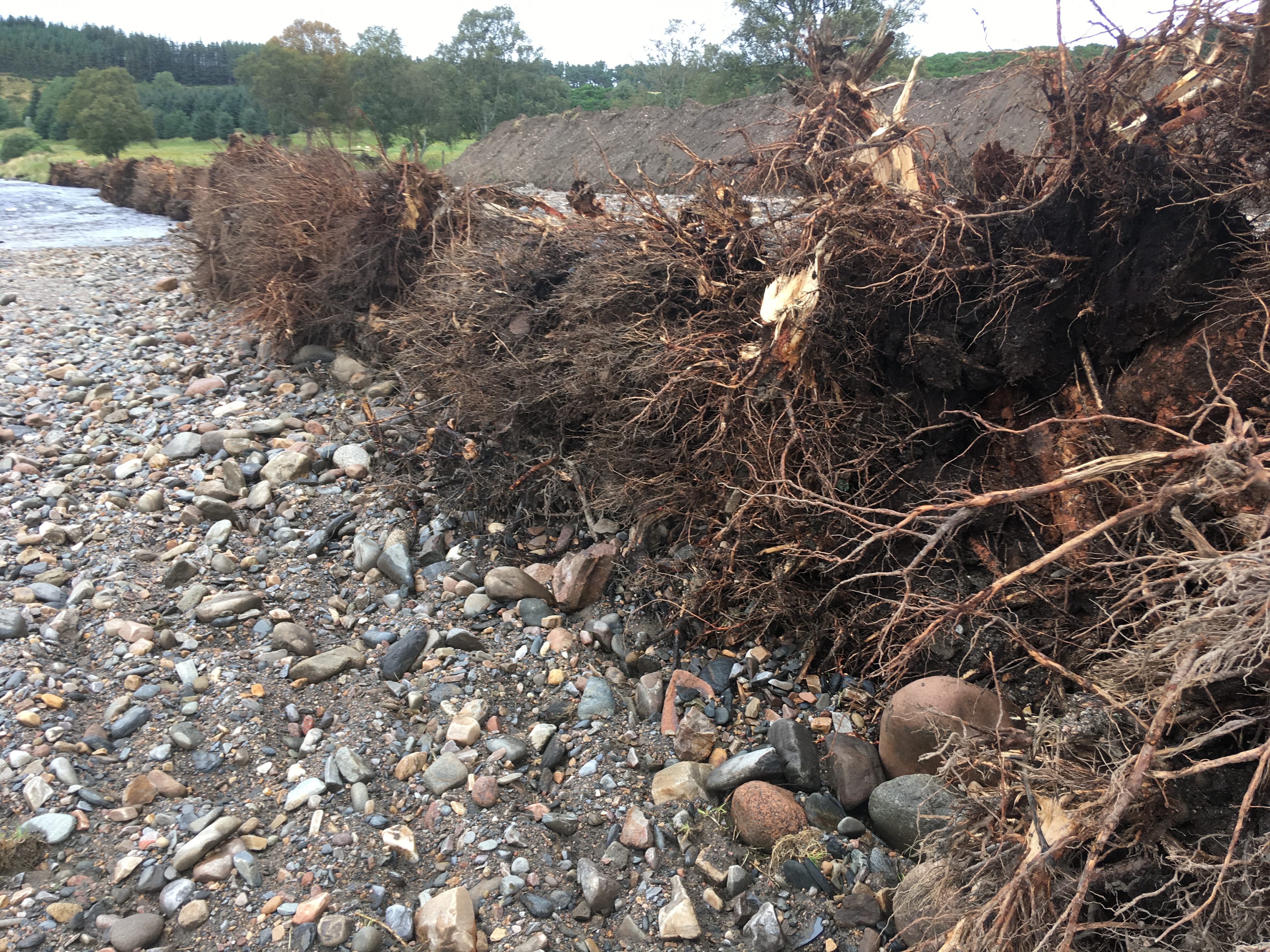
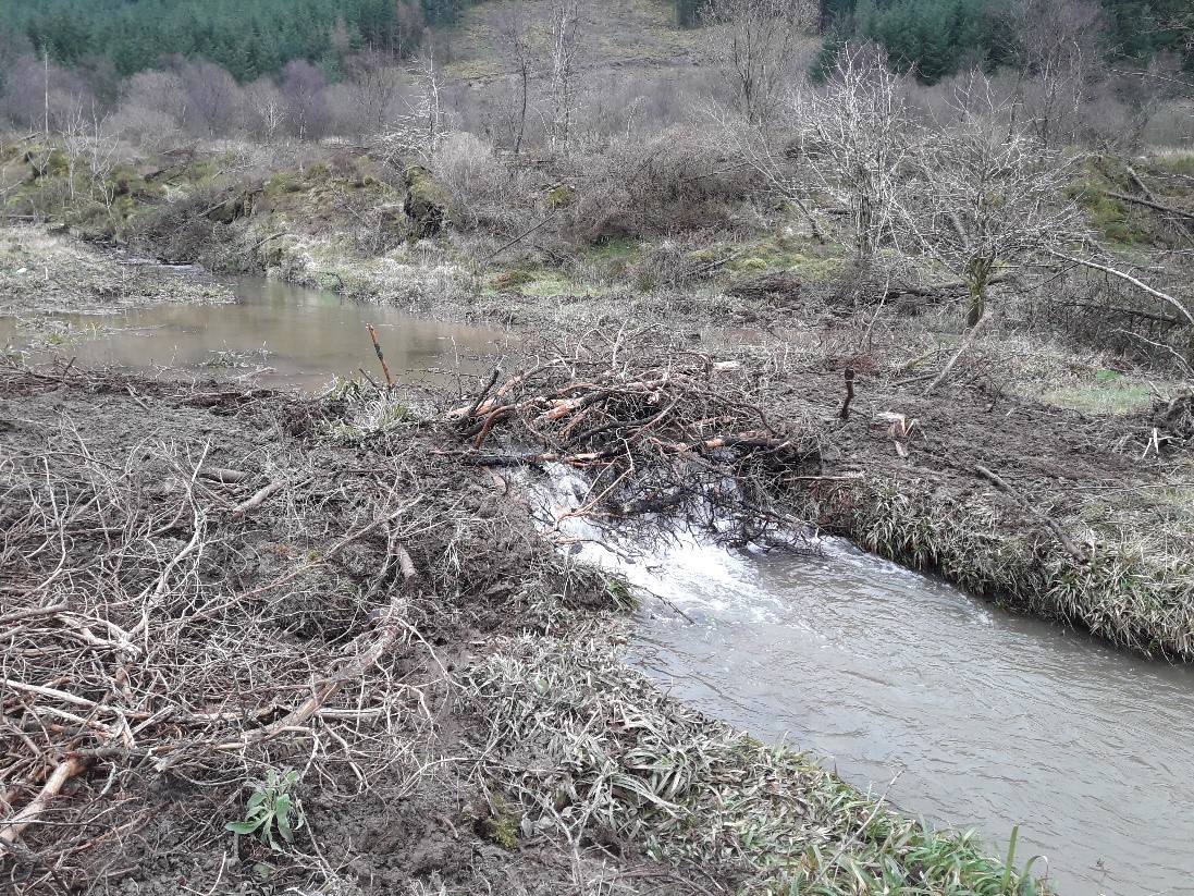
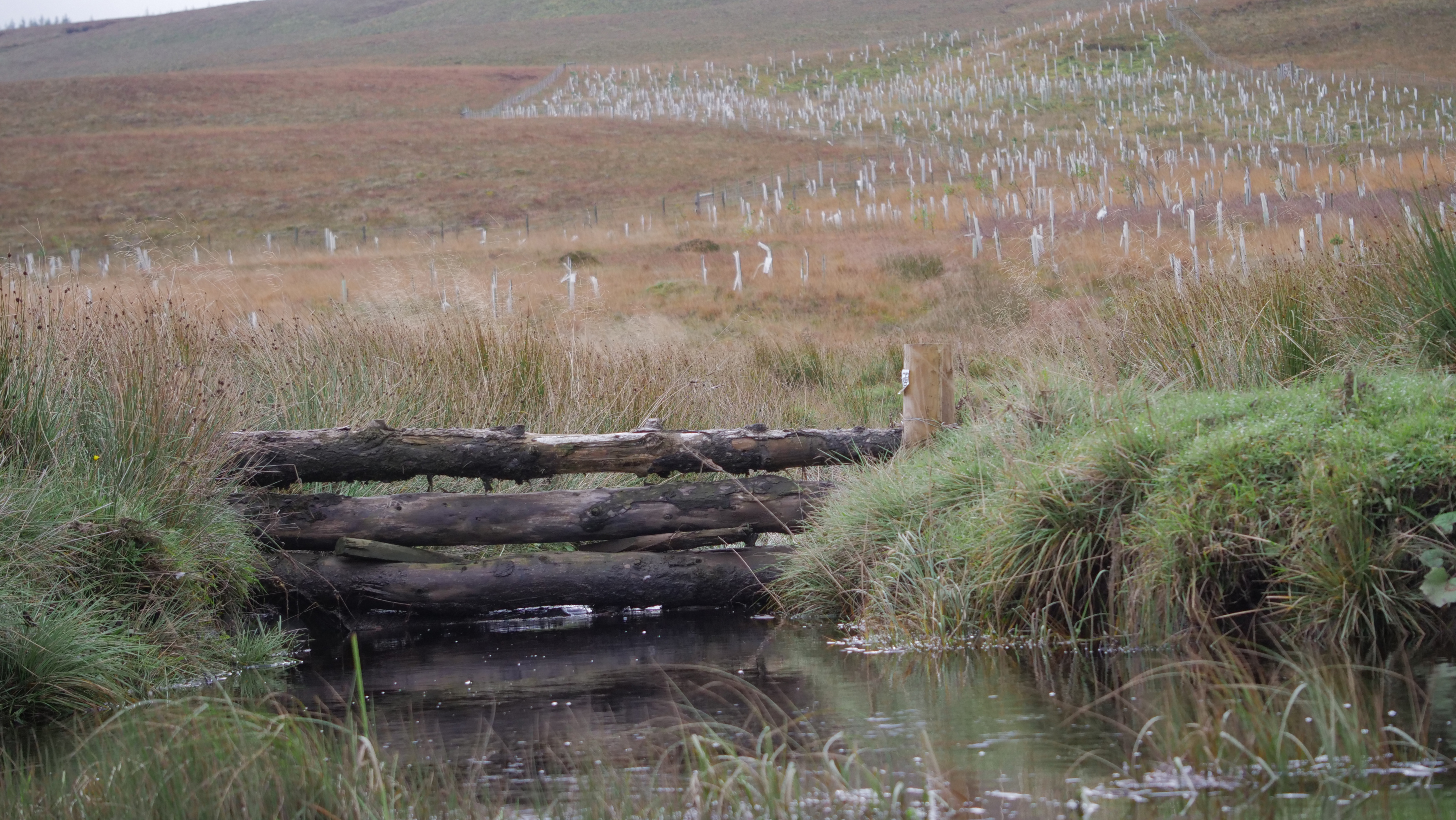
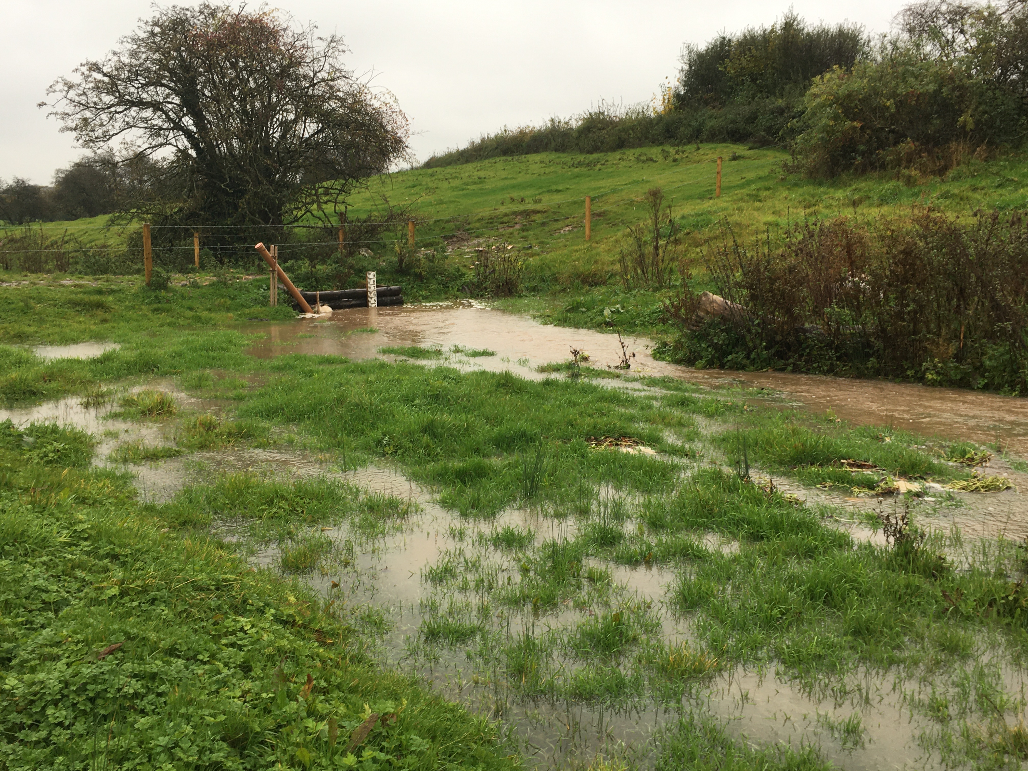
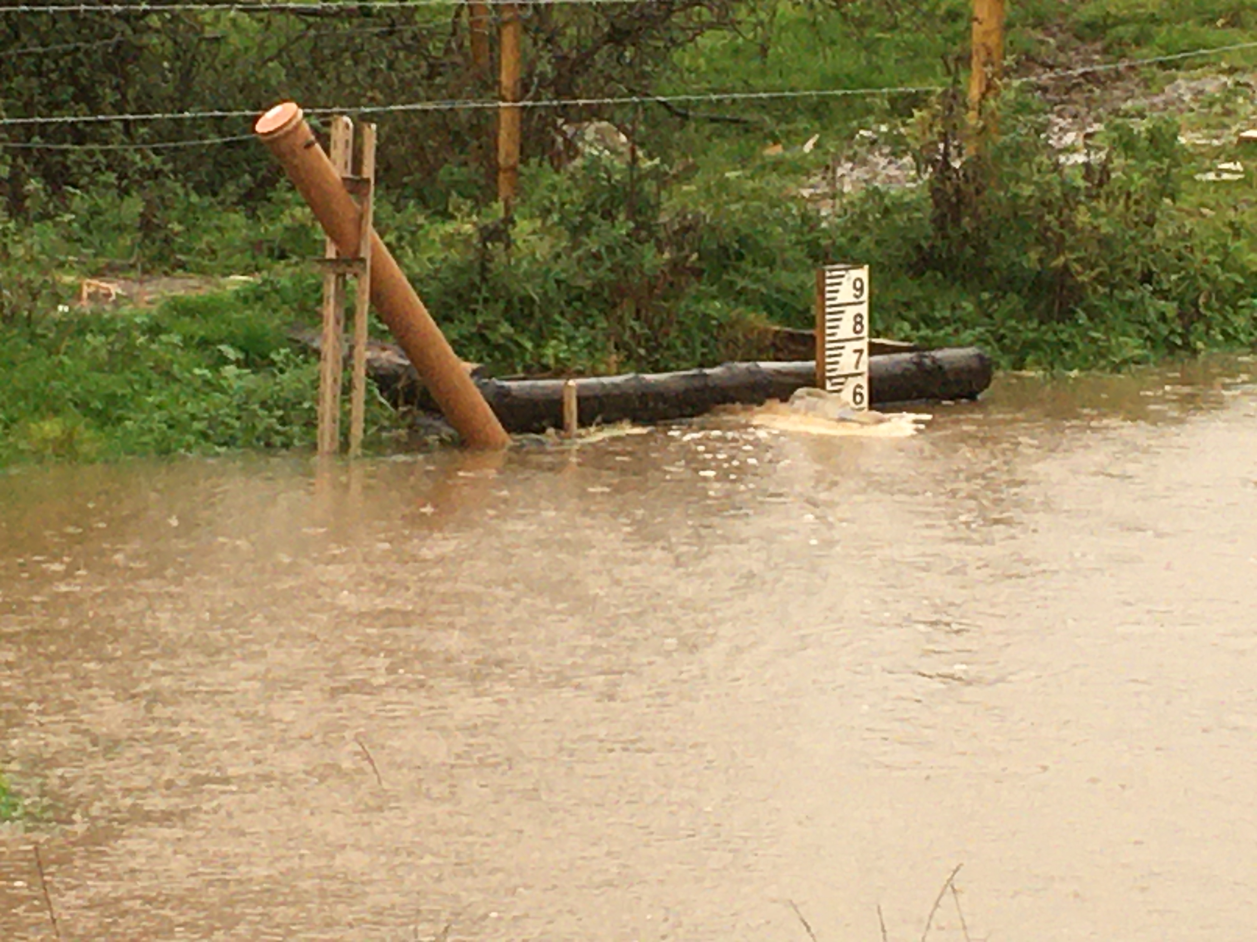
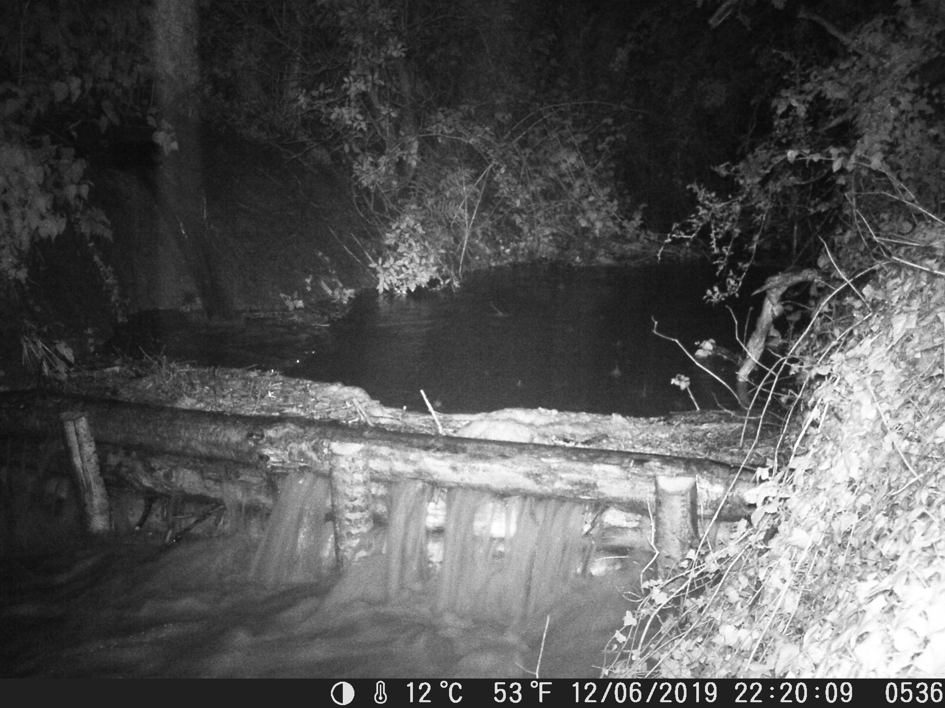
| 15:54, 28 July 2020 | 19 09 02 Fordmouth ECOW 1.JPG (file) |  |
4.39 MB | JosMilner | Bank topsoil scraped back and tree trunks wth intact root balls laid along river side and around corner of adjoining drainage ditch | 1 |
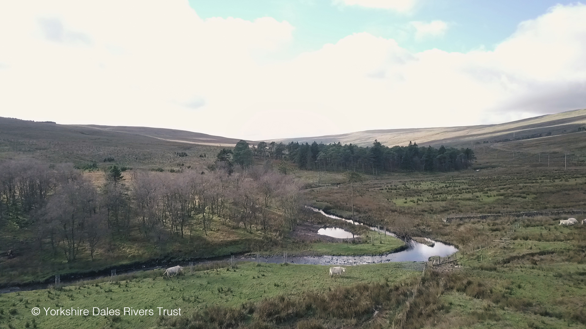
| 09:04, 12 May 2020 | Merin3.jpg (file) |  |
313 KB | Ieuan | 1 | |
| 09:04, 12 May 2020 | Merin2.jpg (file) |  |
501 KB | Ieuan | 2 | |
| 09:01, 12 May 2020 | Merin1.jpg (file) |  |
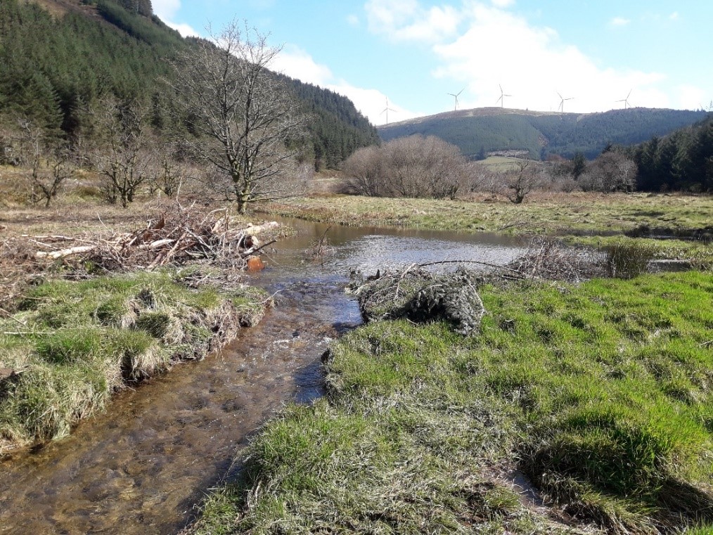
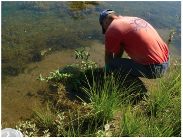
343 KB | Ieuan | Generic site picture | 4 |
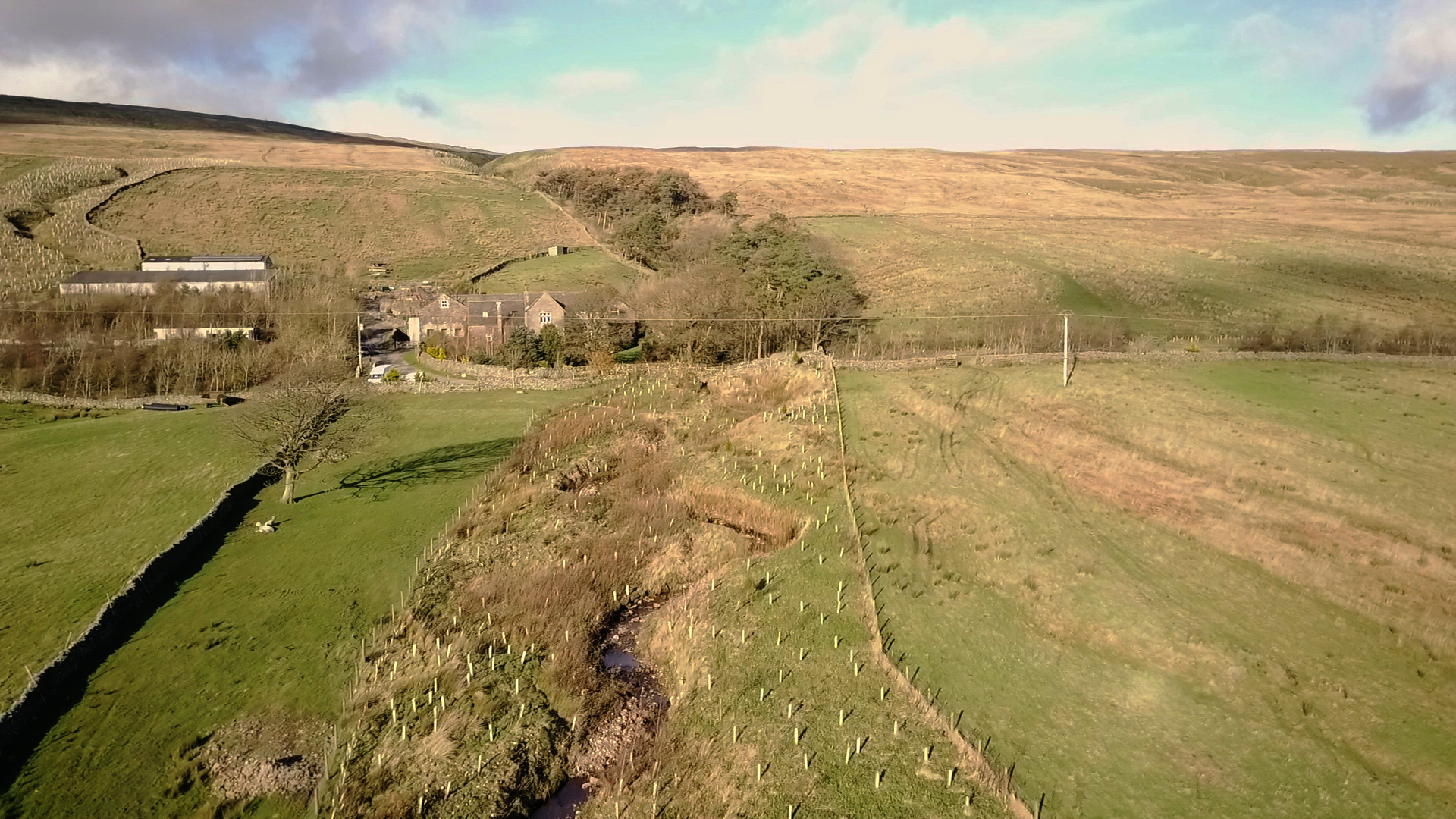
| 08:51, 12 May 2020 | Merin work area.png (file) |  |
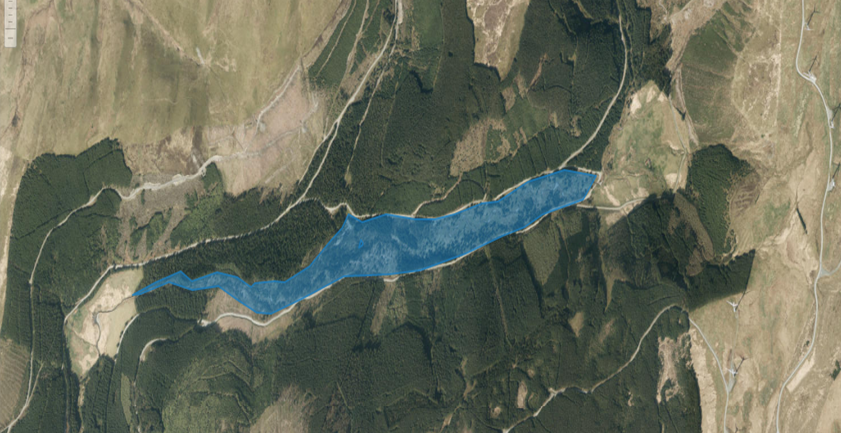
1.8 MB | Ieuan | 2 | |
| 13:34, 28 April 2020 | Interactive.gif (file) |  |
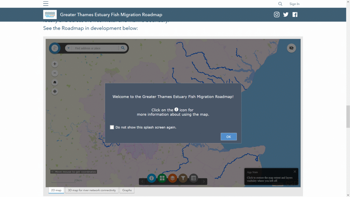
1.79 MB | WandaBodnar | Snapshots of the interactive map. | 1 |
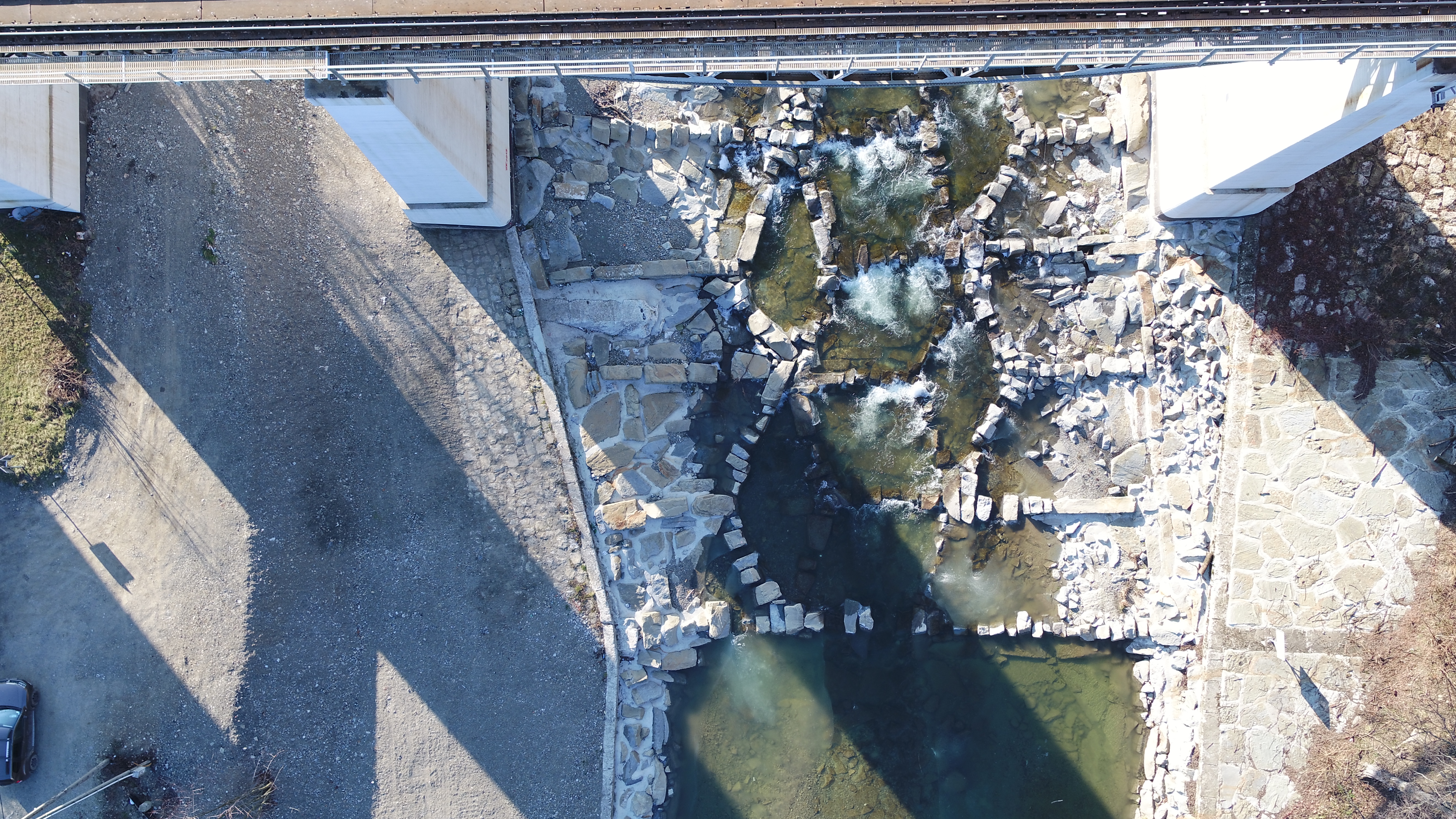
| 08:23, 12 March 2020 | DJI 0062.JPG (file) |  |
6.75 MB | KarCie | Grybów (km 72+050 Biala River) | 1 |
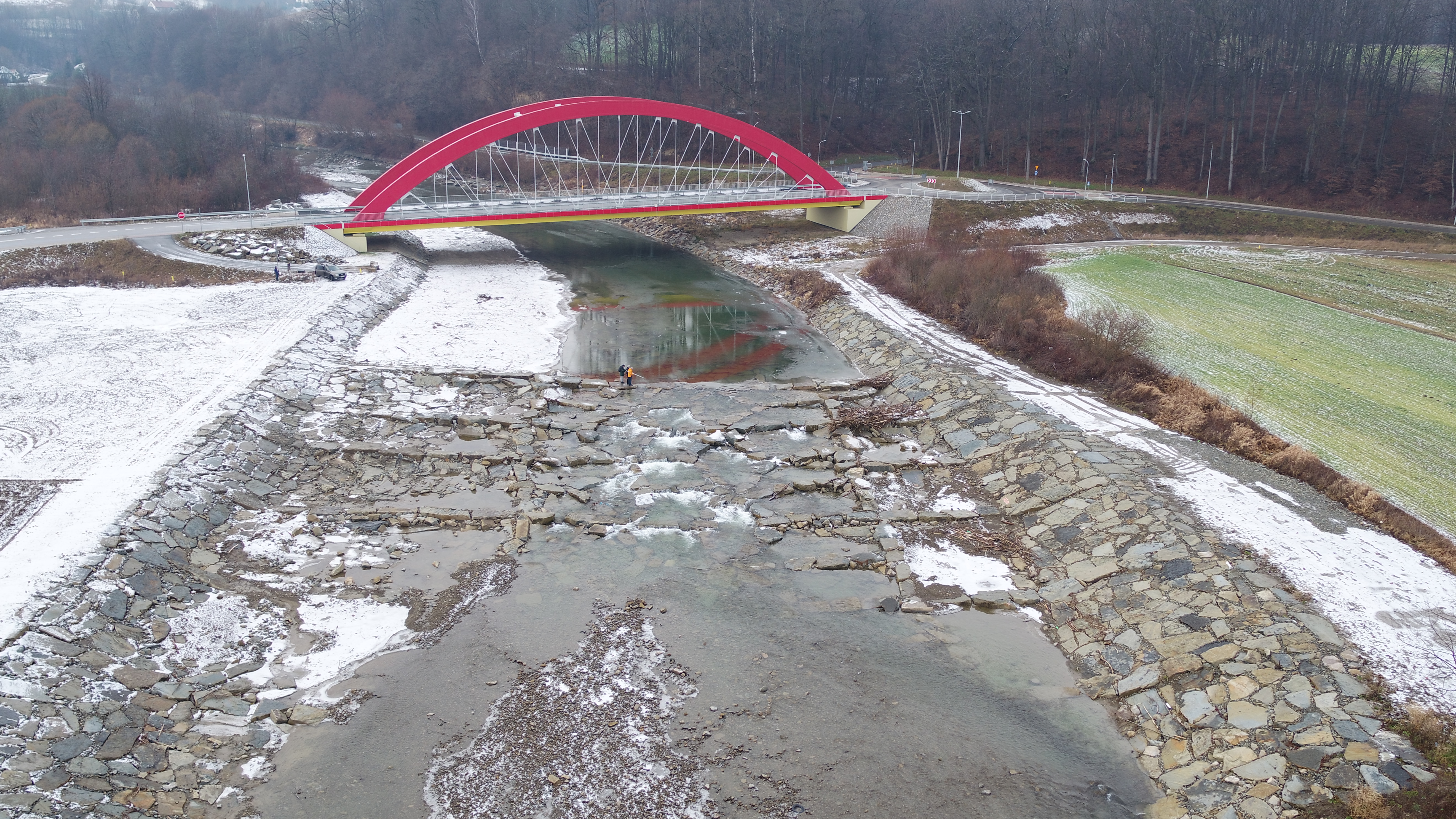
| 08:19, 12 March 2020 | 20200114 095551.jpg (file) |  |
7.23 MB | KarCie | Bobowa (km 58+700 Biala river). New construction finished in 2018. In upstream circa 150 m above existing weir fish ramp was built. Below was 70 m length pool and downstream rebuilded old weir with stilling basin. The crest was slightly forged... | 1 |
| 08:13, 12 March 2020 | DJI 0034.JPG (file) |  |
6.36 MB | KarCie | Jankowa (km 61+160 Biala river). The old weir was demolished. The new construction has a form of honey comb like in other places. | 1 |
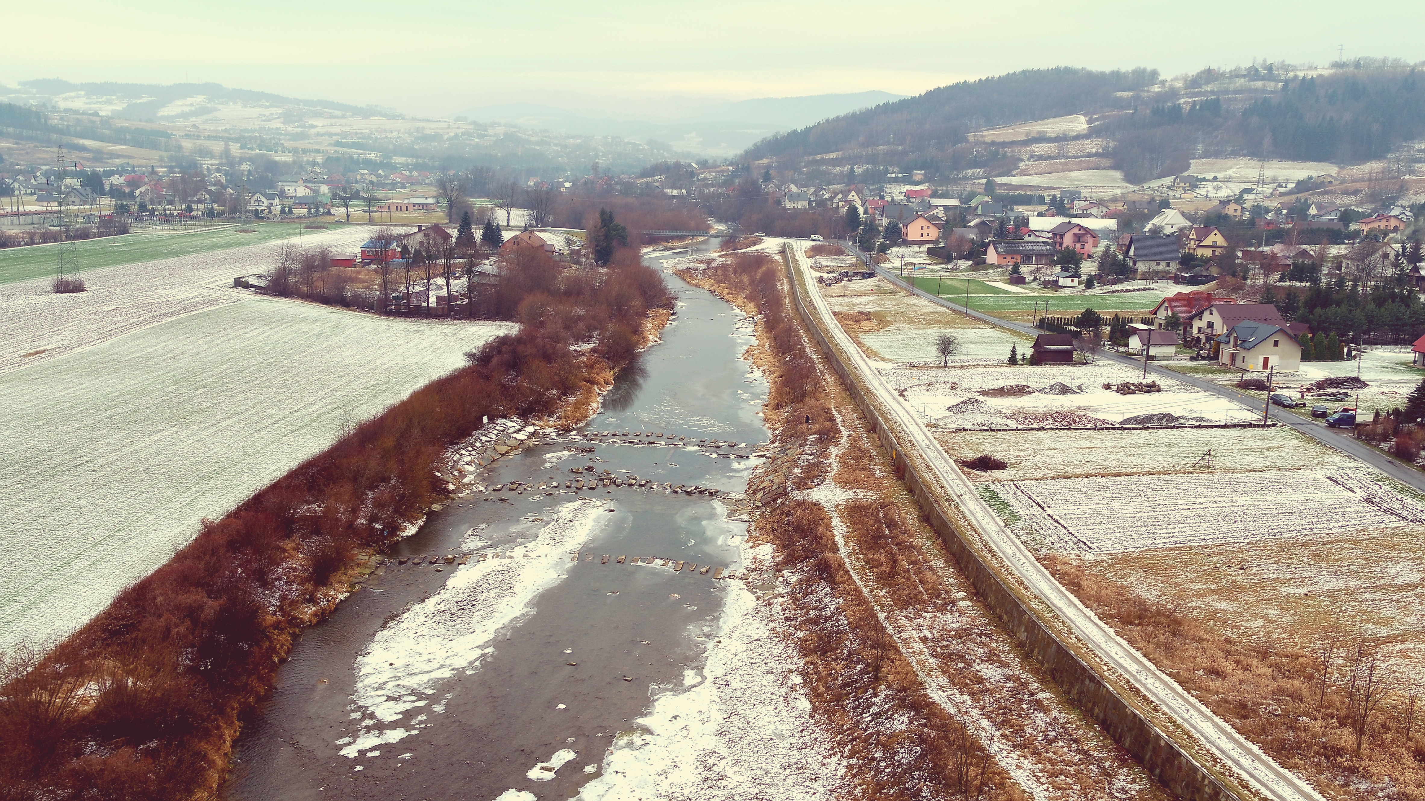
| 08:09, 12 March 2020 | 20200114 095026.jpg (file) |  |
10.22 MB | KarCie | Biała Niżna I (km 70+200 Biala river). Present state. Old concrete weir was rebuilded. | 1 |
| 17:44, 4 March 2020 | Flood Bunds Timelaspe.mp4 (file) | 43.12 MB | MarieYDRT | 1 | ||
| 17:41, 4 March 2020 | Bund.JPG (file) |  |
1.97 MB | MarieYDRT | 1 | |
| 17:41, 4 March 2020 | Leaky Dam Oughtershaw.jpg (file) |  |
6.35 MB | MarieYDRT | 1 | |
| 17:39, 4 March 2020 | Leaky Dam.jpg (file) |  |
6.35 MB | MarieYDRT | 1 | |
| 17:39, 4 March 2020 | Scrape.jpg (file) |  |
896 KB | MarieYDRT | 1 | |
| 17:24, 4 March 2020 | Buffer strip.jpg (file) |  |
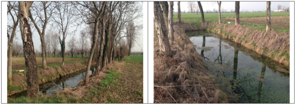
1.52 MB | MarieYDRT | The riparian buffer strips have been increased on both sides of this gill. Within this area trees have been planted and leaky dams installed . | 1 |
| 14:28, 2 March 2020 | Master Thesis David Arnott 2017.pdf (file) | 4.48 MB | NIVA DK | Macroinvertebrate colonisation of a recently deculverted urban stream | 1 | |
| 14:27, 2 March 2020 | Masteroppgave Karoline.pdf (file) | 4.56 MB | NIVA DK | Colonisation and Growth of Benthic Algae in a Recently Deculverted Urban Stream | 1 | |
| 14:24, 2 March 2020 | Burgess2018 oppgave FINAL.pdf (file) | 26.71 MB | NIVA DK | Development in Phytoplankton Assemblages, Ecological Status and Purification Effect in Teglverksdammen. A Study of a Pond the First Two Growth Seasons Following Deculverting of an Urban Stream System in Oslo, Norway. | 1 | |
| 15:30, 28 February 2020 | Akerselva ved Kubaparken 2016 Foto Oslo Kommune BYM.png (file) |  |
451 KB | NIVA DK | River Akerselva at the Kuba Park in 2016. Photo: Oslo Municipality, Agency for Urban Development. | 1 |
| 15:06, 28 February 2020 | Hovinbekken at Bjerkedalen Park Oslo Norway 2017 Therese Fosholt Moe.JPG (file) |  |
4.47 MB | NIVA DK | Hovinbekken at Bjerkedalen Park in 2017. Photo: Therese Fosholt Moe / Norwegian Institute for Water Research (NIVA). | 1 |
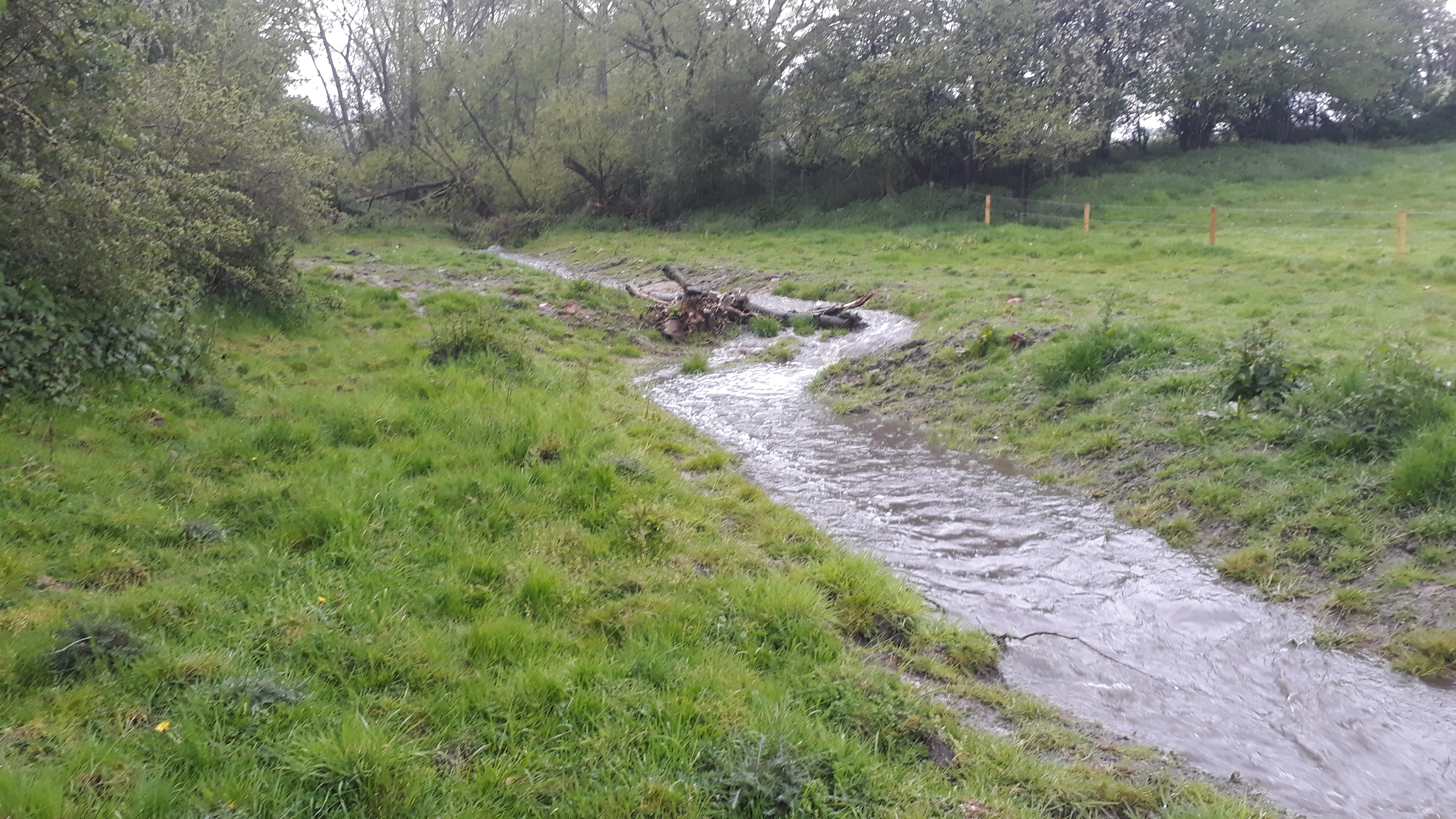
| 11:00, 24 February 2020 | Floodplain reconnection.JPG (file) |  |
3.44 MB | Alan Graham | Floodplain reconnection to allow storage and sediment capture | 1 |
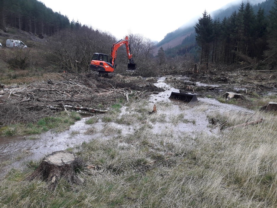
| 10:53, 24 February 2020 | Constructing new channel.jpg (file) |  |
3.29 MB | Alan Graham | 1 | |
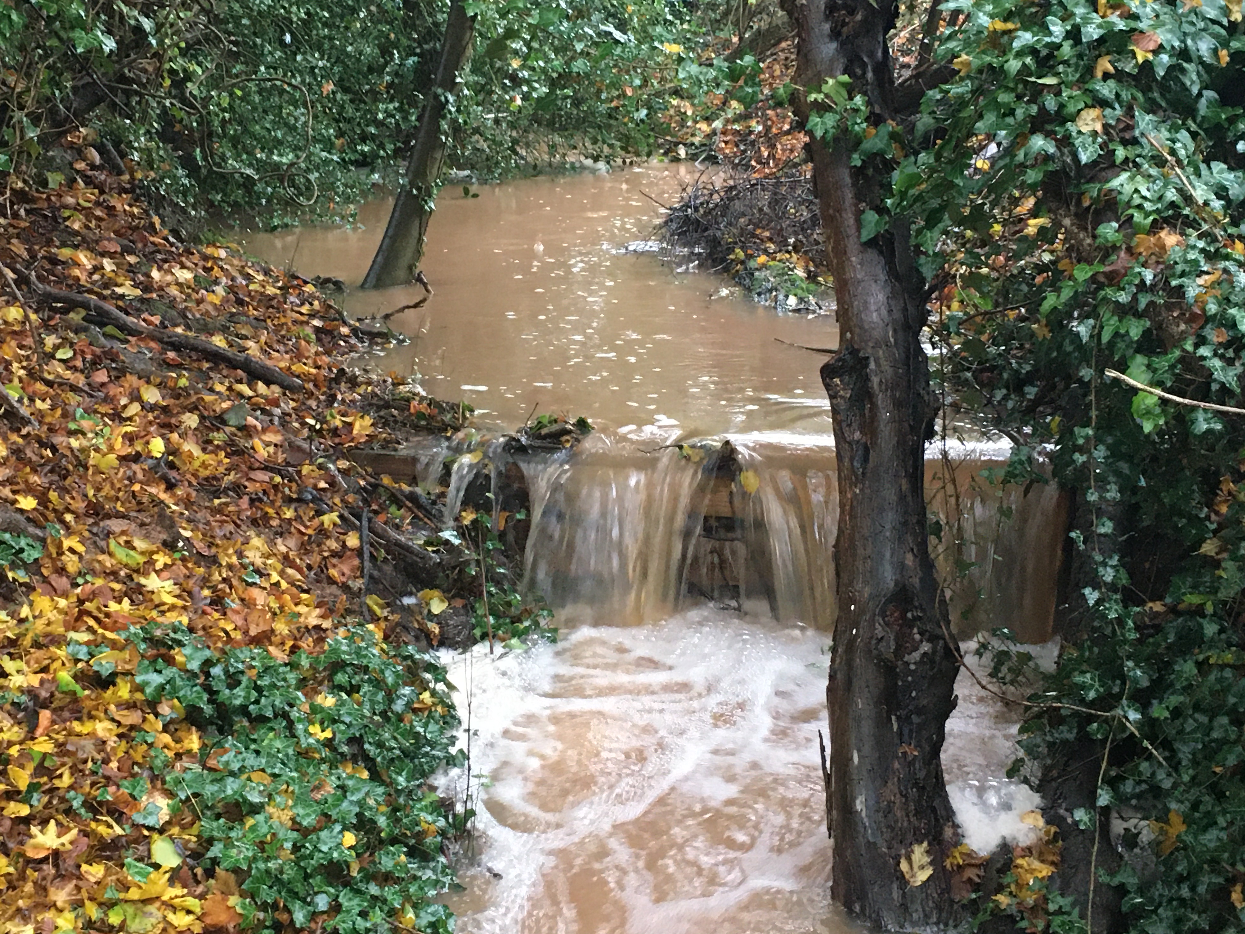
| 10:52, 24 February 2020 | Control structure and monitoring.JPG (file) |  |
1.42 MB | Alan Graham | 1 | |
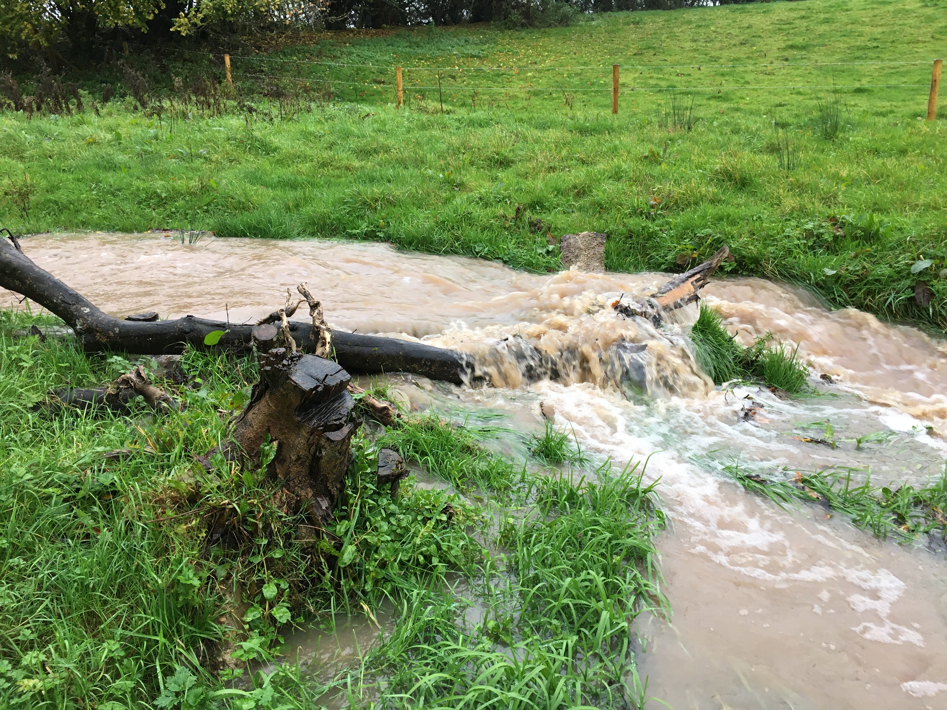
| 10:50, 24 February 2020 | Sediment capture.JPG (file) |  |
5.8 MB | Alan Graham | 1 | |
| 10:50, 24 February 2020 | Site 25 12.06.19.JPG (file) |  |
991 KB | Alan Graham | 1 | |
| 10:49, 24 February 2020 | LWM.JPG (file) |  |
4.31 MB | Alan Graham | 1 | |
| 10:49, 24 February 2020 | Leaky barrier in Dumble.JPG (file) |  |
2.63 MB | Alan Graham | 1 | |
| 10:48, 24 February 2020 | De culverted channel.jpg (file) |  |
4.22 MB | Alan Graham | 1 | |
| 14:15, 17 February 2020 | Bossington immediately upstream 2yrs later.JPG (file) |  |
4.69 MB | Heb leman | Post restoration image 2 years after removal of large impounding structure, Bossington estate, River Test. | 3 |
| 16:24, 3 February 2020 | N10 Relazione-tecnica Bacino Castellaro 01.pdf (file) | 4.52 MB | Wetnet | 2 | ||
| 16:23, 3 February 2020 | N10 Allegato1 Tavola-di-progetto.pdf (file) | 917 KB | Wetnet | 1 | ||
| 16:18, 3 February 2020 | Schermata 2020-01-25 alle 16.24.19.png (file) |  |
544 KB | Wetnet | 1 | |
| 16:18, 3 February 2020 | Schermata 2020-01-25 alle 16.20.04.png (file) |  |
613 KB | Wetnet | 1 | |
| 16:18, 3 February 2020 | Schermata 2020-01-25 alle 16.19.46.png (file) |  |
1.29 MB | Wetnet | 1 | |
| 16:16, 3 February 2020 | Life risogive.png (file) |  |
6 KB | Wetnet | 4 | |
| 16:06, 3 February 2020 | N 8 Roggia Girosa Relazione-tecnica 03.pdf (file) | 7.65 MB | Wetnet | 1 | ||
| 16:06, 3 February 2020 | N 8 Allegato1 Tavola-di-progetto.pdf (file) | 1.81 MB | Wetnet | 1 | ||
| 16:00, 3 February 2020 | Schermata 2020-01-25 alle 16.12.23.png (file) |  |
98 KB | Wetnet | 1 | |
| 16:00, 3 February 2020 | Schermata 2020-01-25 alle 16.09.49.png (file) |  |
244 KB | Wetnet | 1 | |
| 15:59, 3 February 2020 | Schermata 2020-01-25 alle 16.00.33.png (file) |  |
451 KB | Wetnet | 1 | |
| 15:59, 3 February 2020 | Schermata 2020-01-25 alle 16.00.11.png (file) |  |
779 KB | Wetnet | 1 | |
| 15:50, 3 February 2020 | N 2 Fontane Marzare Relazione-tecnica.pdf (file) | 7.11 MB | Wetnet | 1 | ||
| 15:50, 3 February 2020 | N 2 Allegato1 Tavola-progetto.pdf (file) | 1.53 MB | Wetnet | 1 | ||
| 15:43, 3 February 2020 | Schermata 2020-01-25 alle 15.48.43.png (file) |  |
118 KB | Wetnet | 1 | |
| 15:42, 3 February 2020 | Schermata 2020-01-25 alle 15.39.39.png (file) |  |
292 KB | Wetnet | 1 |