File list
Jump to navigation
Jump to search
This special page shows all uploaded files.
| Date | Name | Thumbnail | Size | User | Description | Versions |
|---|---|---|---|---|---|---|
| 17:44, 1 February 2017 | Thank You Card.pdf (file) | 108 KB | Amgauld | 1 | ||
| 17:43, 1 February 2017 | Awards Received.pdf (file) | 475 KB | Amgauld | 1 | ||
| 17:43, 1 February 2017 | Interpretation Panel.pdf (file) | 518 KB | Amgauld | 1 | ||
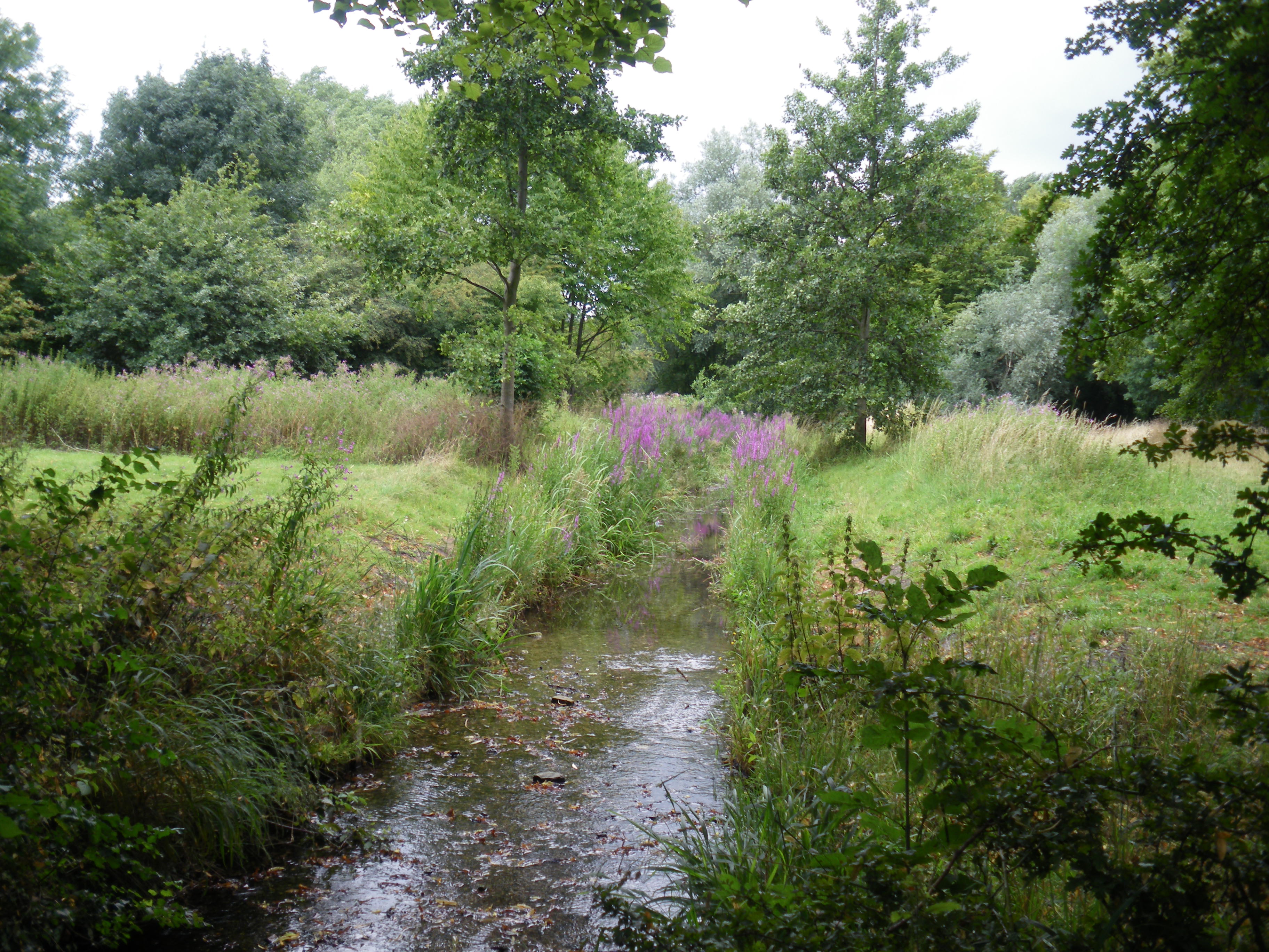
| 17:42, 1 February 2017 | ETB Wildlife Photographs.pdf (file) | 2.68 MB | Amgauld | Selection of images of habitats and species around the ETB. | 1 | |
| 16:42, 1 February 2017 | PrimarySchoolPlantingEvent.pdf (file) | 669 KB | Amgauld | Selection of photos of final planting event with St. Fittick's Primary School and volunteers from Kelda Water. | 1 | |
| 16:20, 1 February 2017 | Build Sequence Photographs.pdf (file) | 1.39 MB | Amgauld | 1 | ||
| 16:16, 1 February 2017 | BeforeProjectPhotographs.pdf (file) | 1.33 MB | Amgauld | Some images of site before construction phase of project. | 1 | |
| 16:05, 1 February 2017 | Build Sequence Photographs.pptx (file) | 3.92 MB | Amgauld | 1 | ||
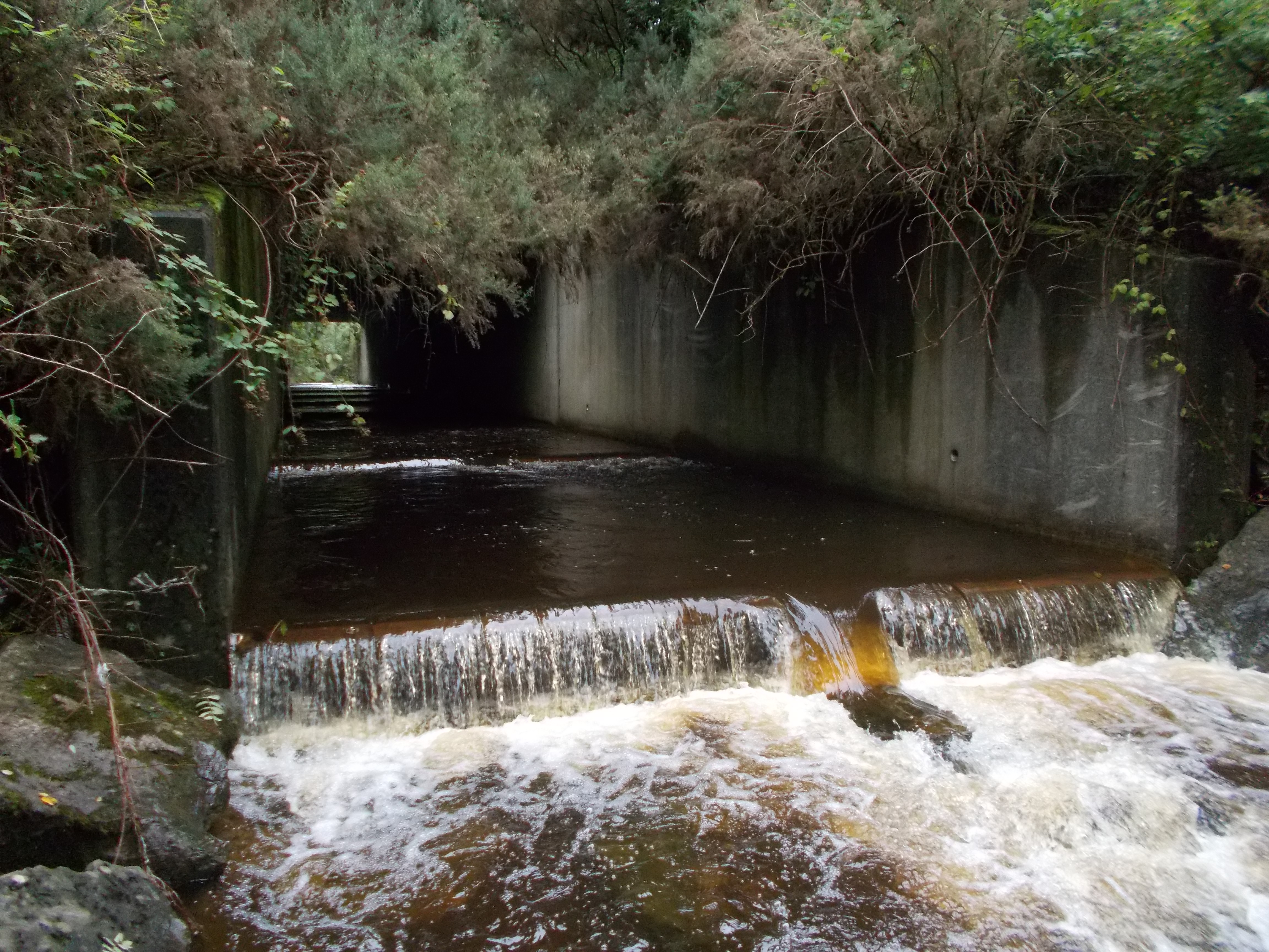
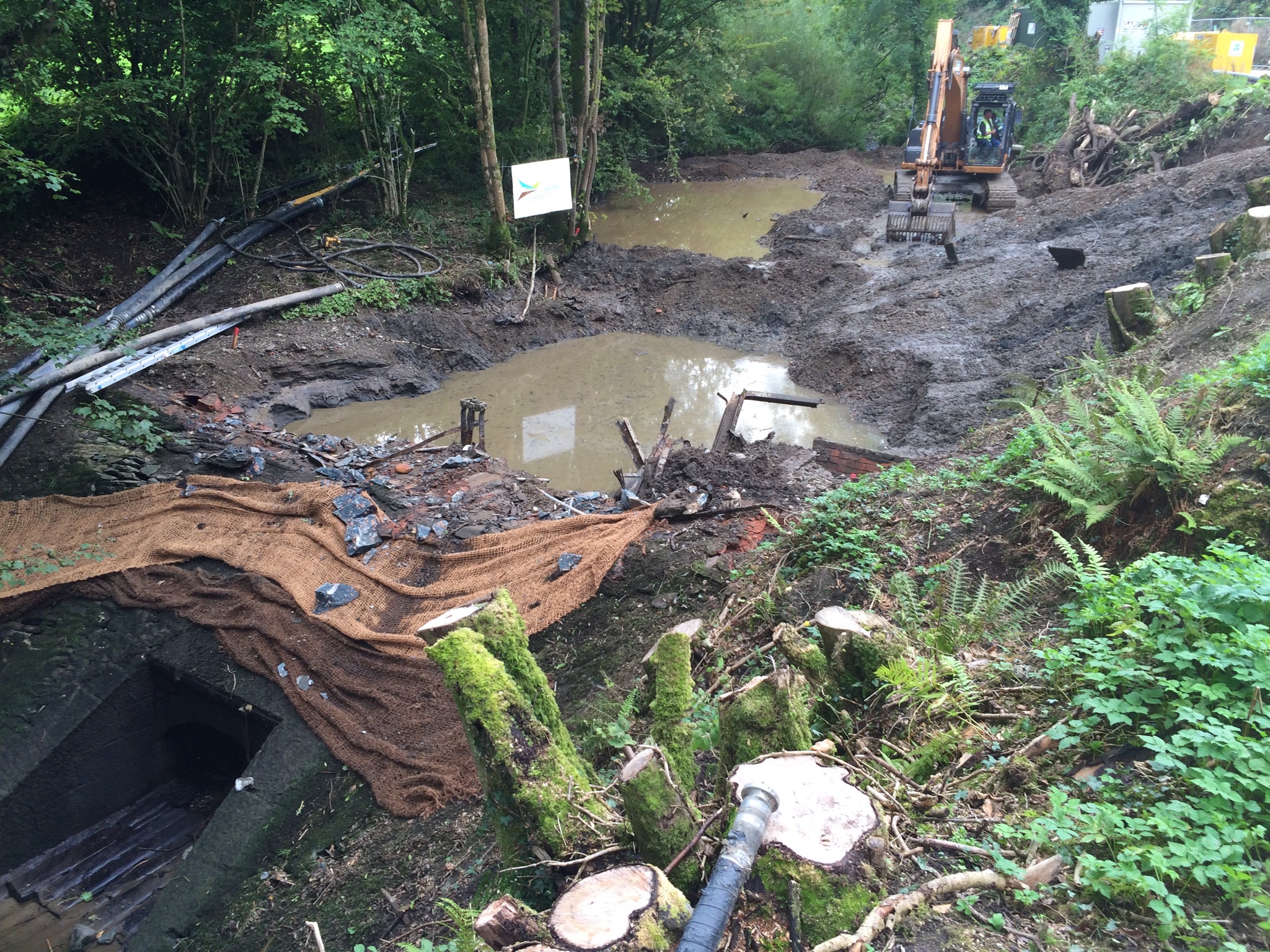
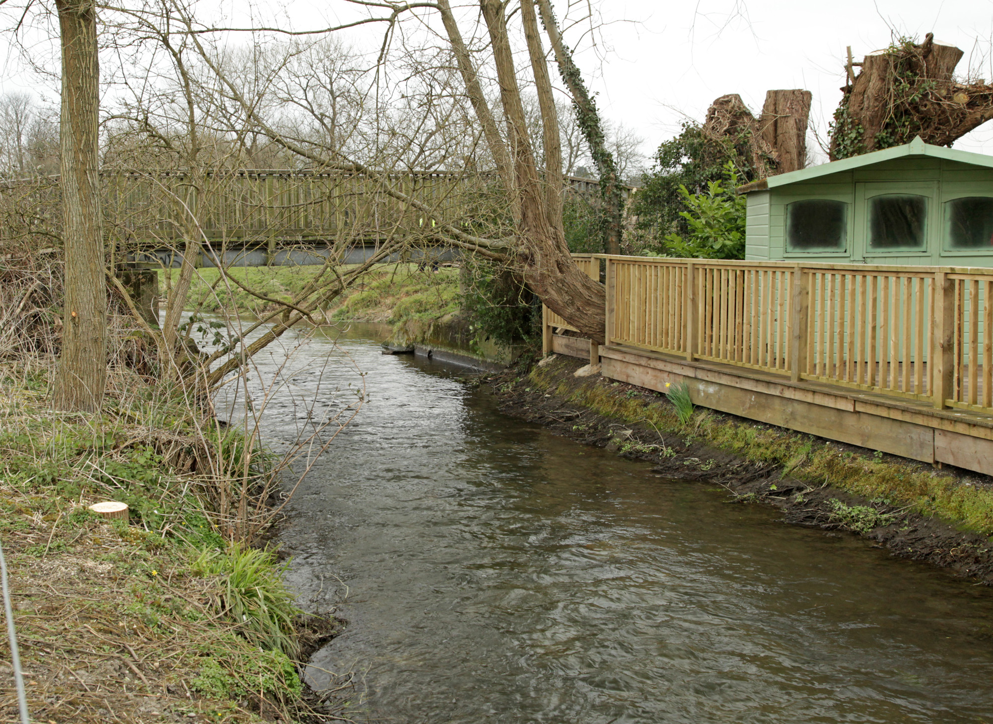
| 11:58, 1 February 2017 | Tredegar culvert completted.JPG (file) |  |
3.41 MB | Hywel Abbott | 1 | |
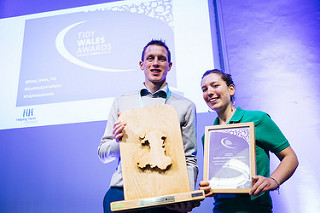
| 11:56, 1 February 2017 | Tidy Wales Awards.jpg (file) |  |
27 KB | Hywel Abbott | Healthy Rivers receives first prize at the Tidy Wales Awards | 1 |
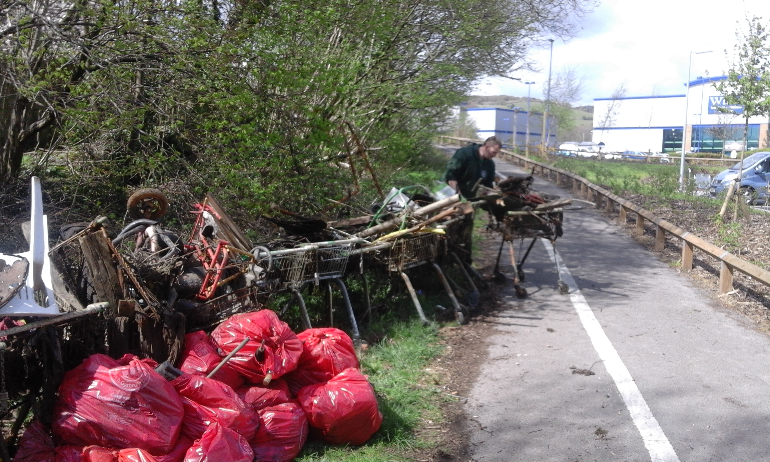
| 11:55, 1 February 2017 | River clean up Nant yr Aber.jpg (file) |  |
1.87 MB | Hywel Abbott | 1 | |
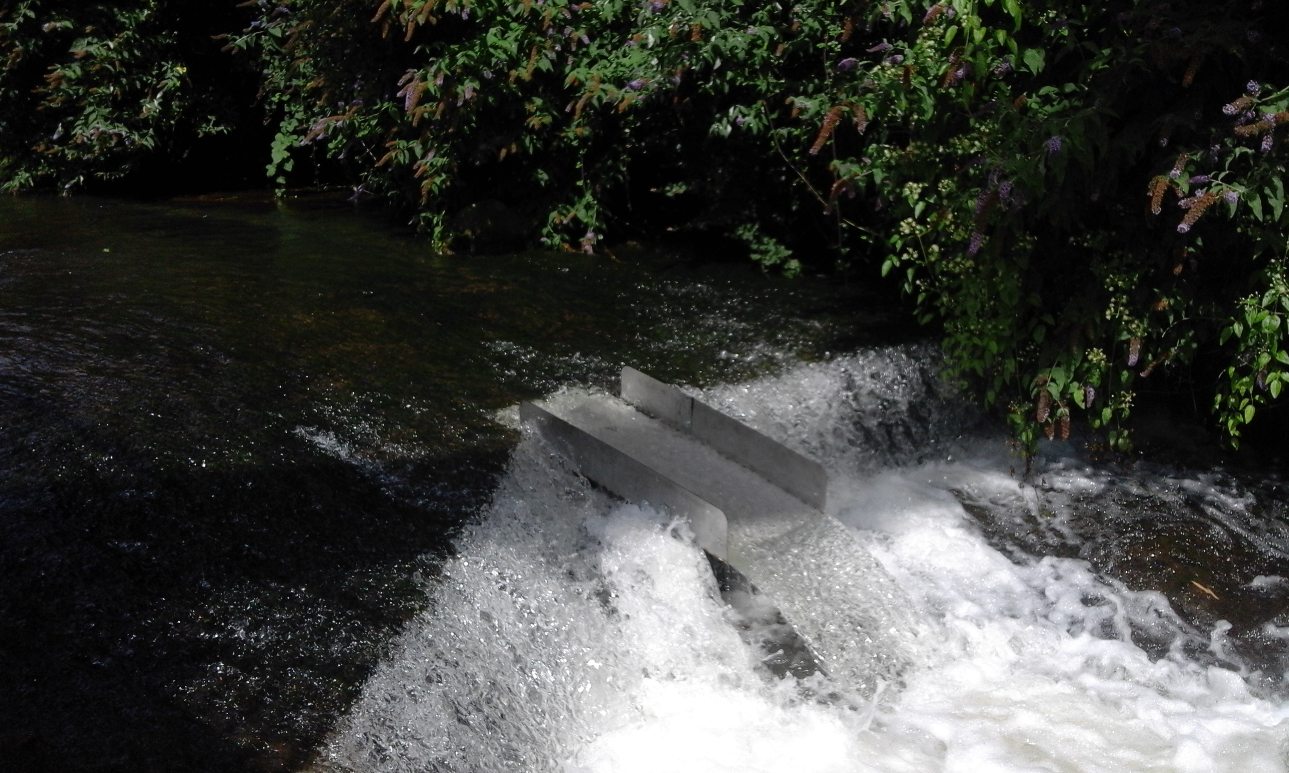
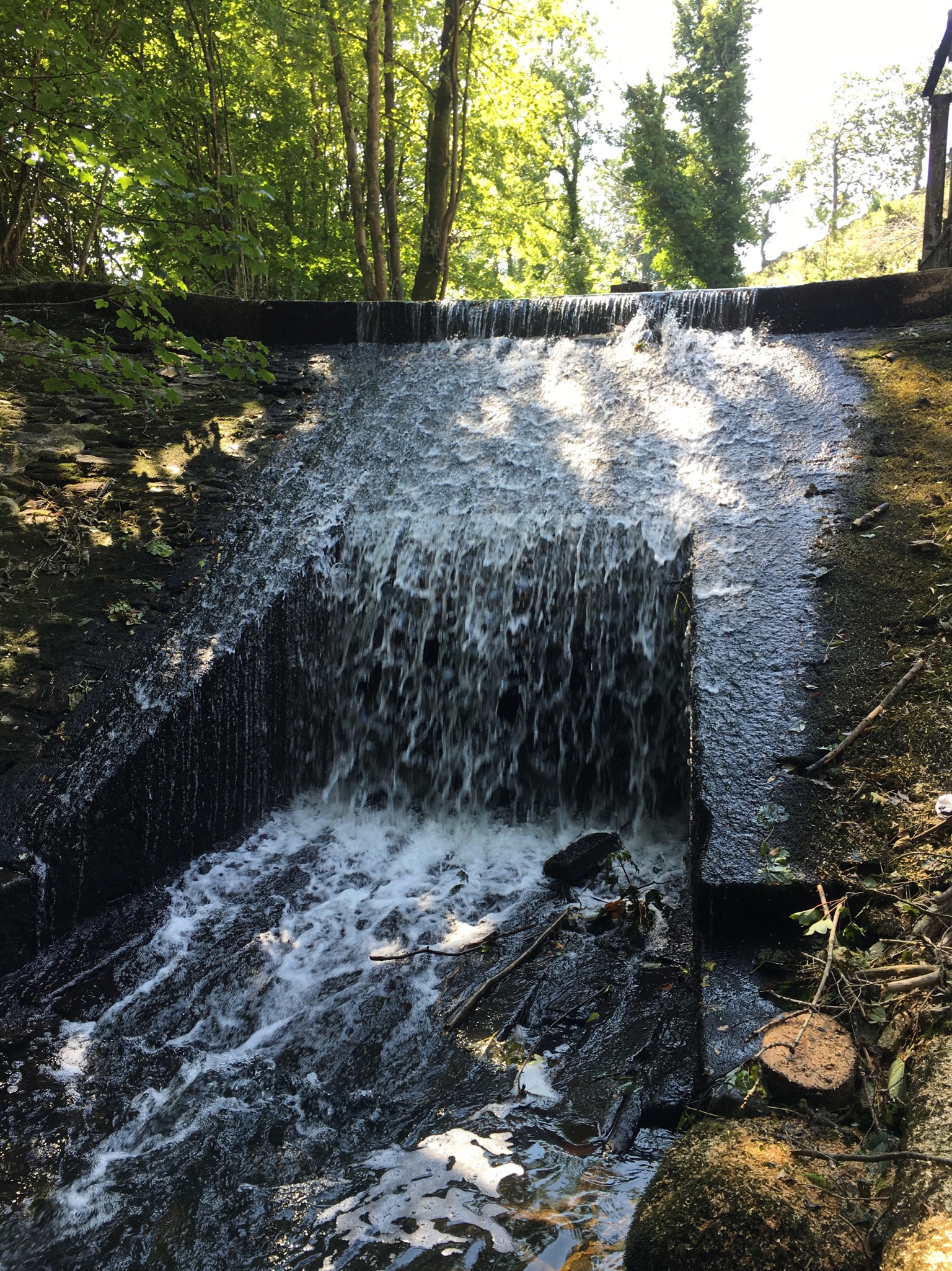
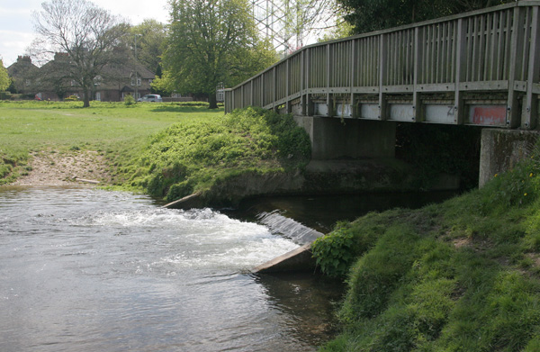
| 11:55, 1 February 2017 | Mill road fish pass ramp complete.jpg (file) |  |
1.54 MB | Hywel Abbott | 1 | |
| 11:49, 1 February 2017 | Graig Fawr blockage after.JPG (file) |  |
3.41 MB | Hywel Abbott | 1 | |
| 14:00, 30 January 2017 | Salford Scheme Wetland GA.pdf (file) | 1.59 MB | Gjmorris | The design of urban wetland within overall larger flood storage basin. | 1 | |
| 13:57, 30 January 2017 | Castle Irwell FSB.pdf (file) | 1.07 MB | Gjmorris | Drawing of the Castle Irwell flood storage basin and urban wetland. | 1 | |
| 13:55, 30 January 2017 | Salford basin completed wetland.jpg (file) |  |
459 KB | Gjmorris | Panorama shot of completed urban wetland | 1 |
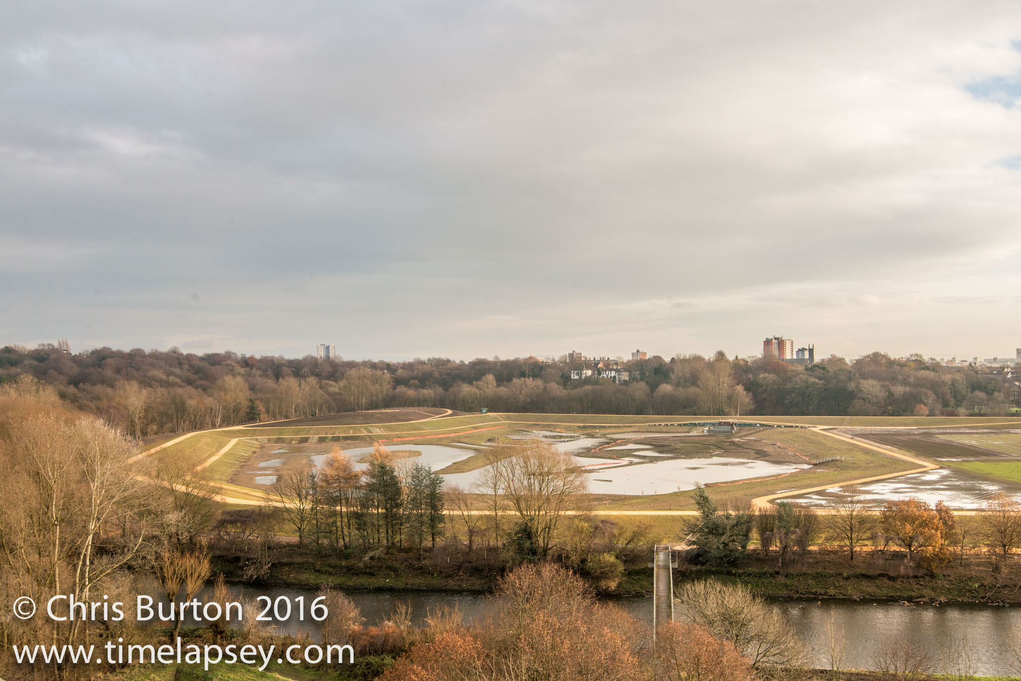
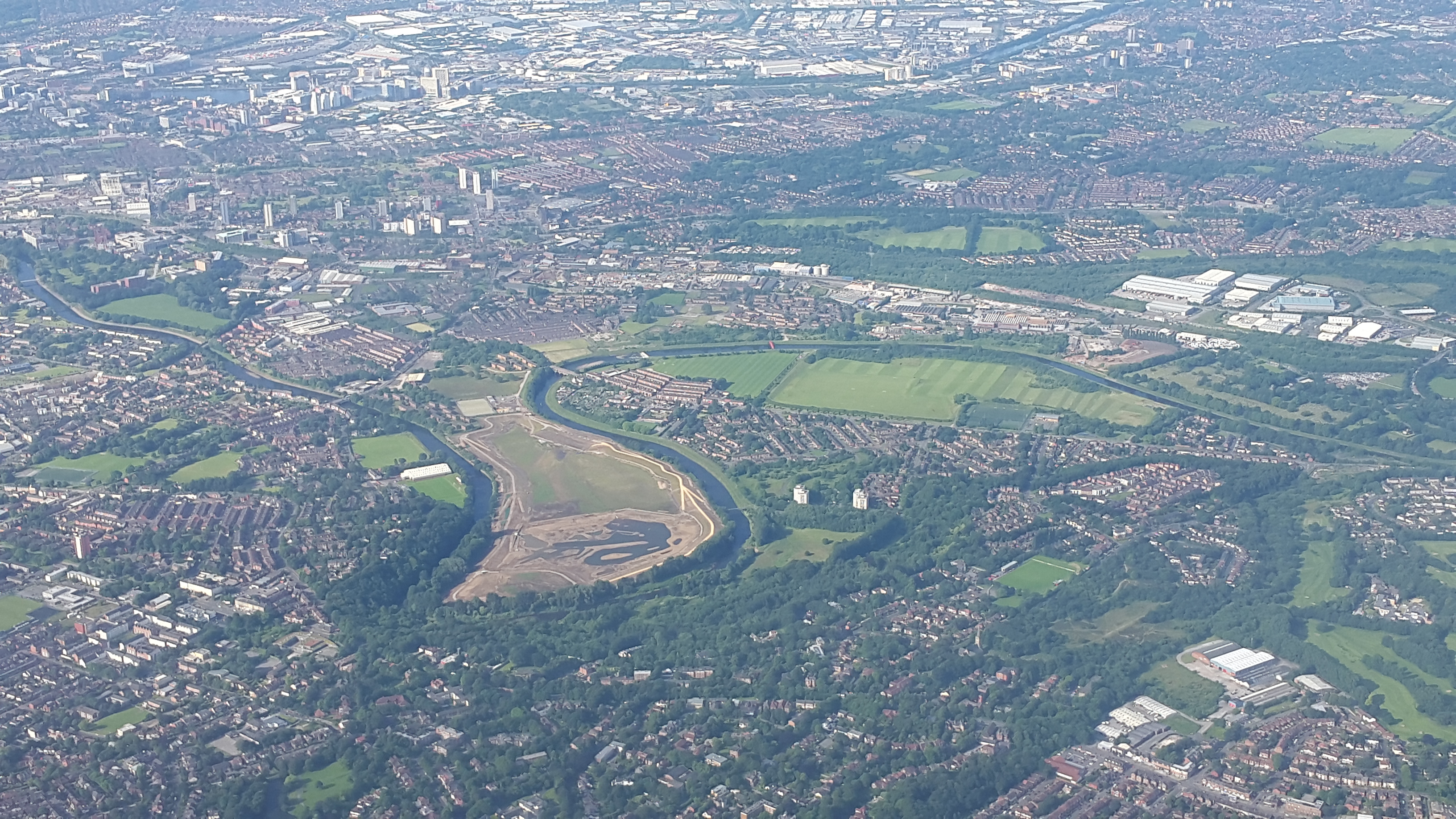
| 13:53, 30 January 2017 | Salford aerial photo showing existing and new basins.jpg (file) |  |
3.25 MB | Gjmorris | Aerial photo of Castle Irwell site, Salford, Greater Manchester. | 1 |
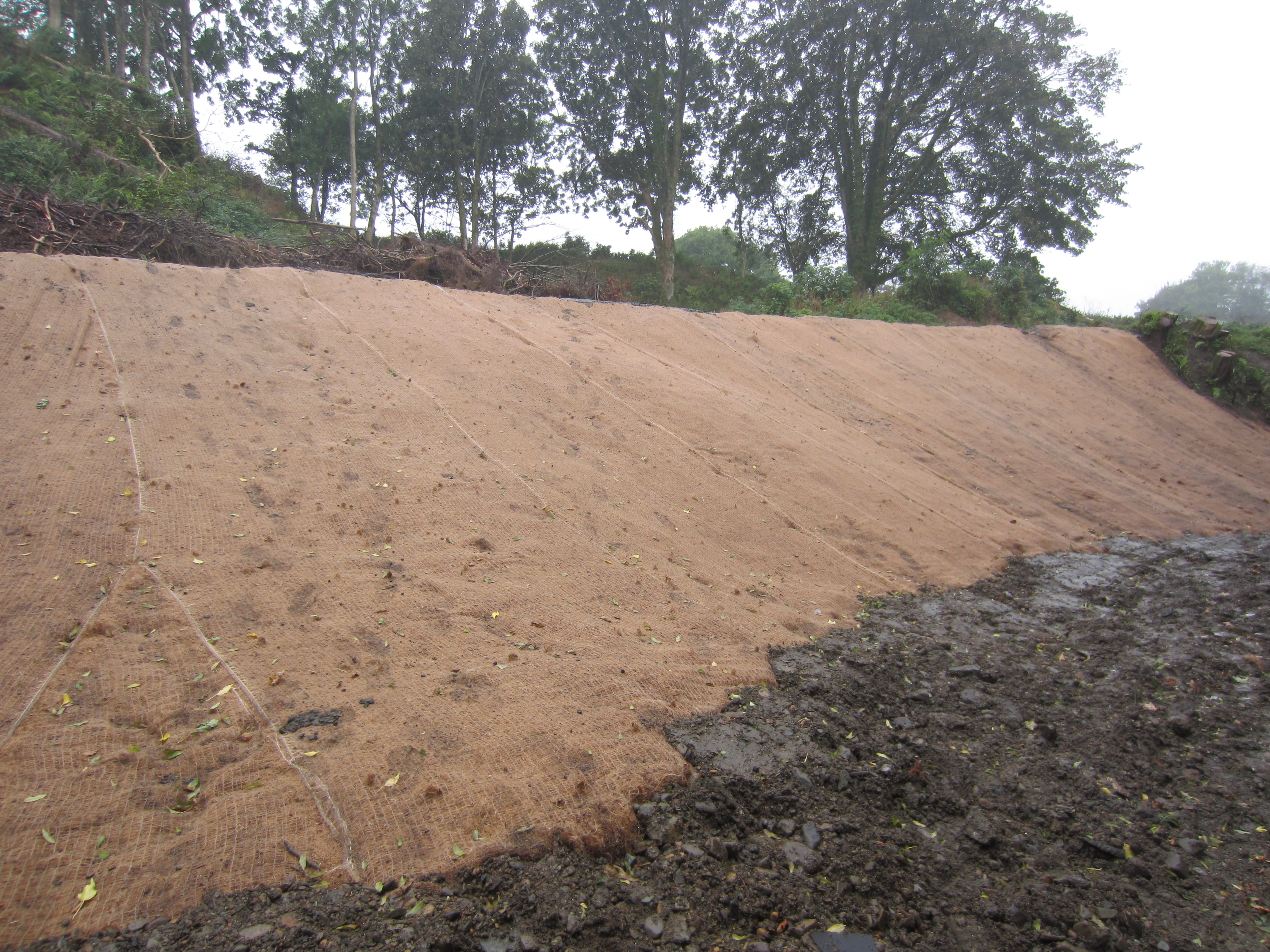
| 14:37, 25 January 2017 | 1437.JPG (file) |  |
3.73 MB | Robmitchell | Left bank pre-seeded erosion protection matting | 1 |
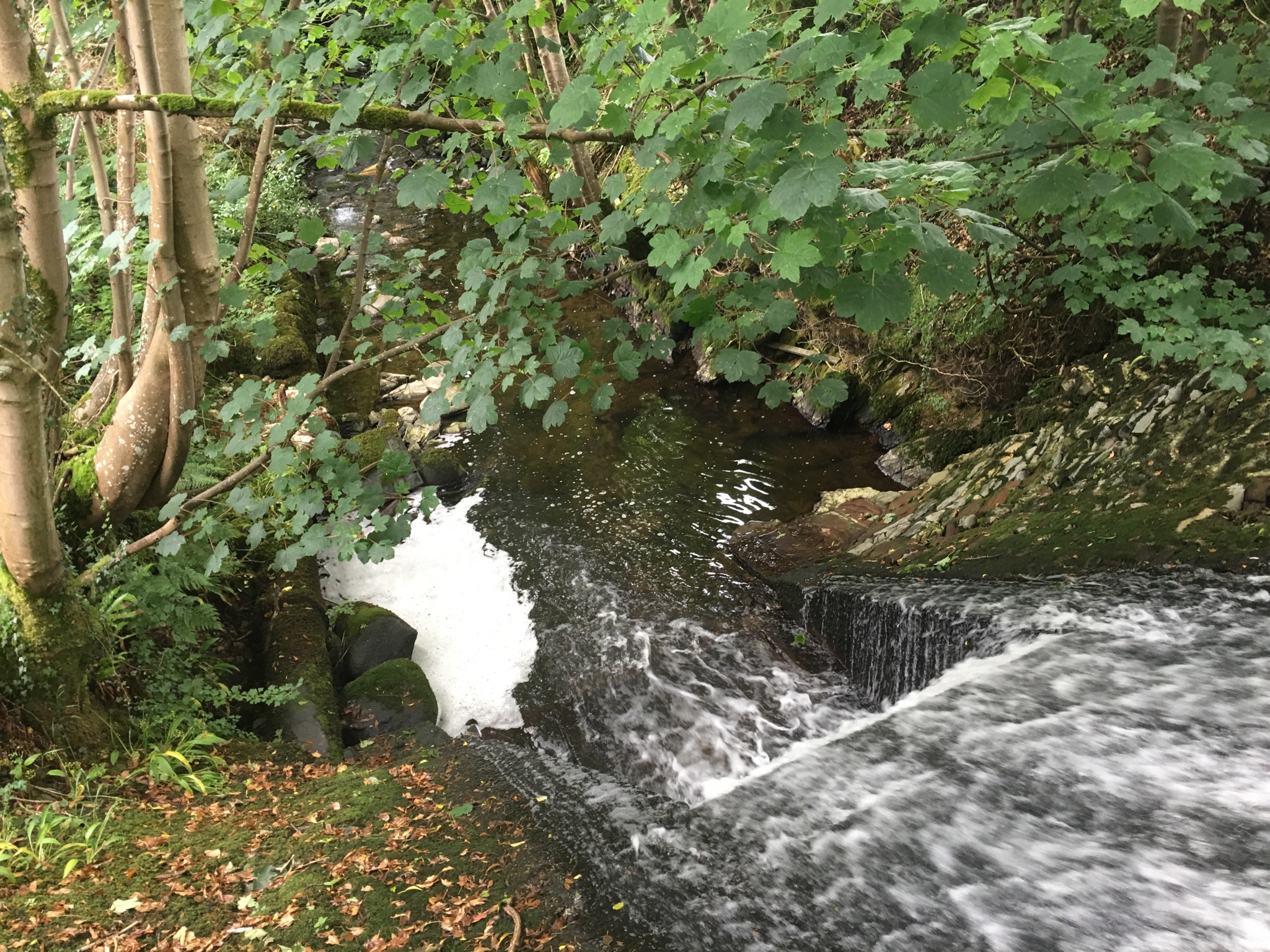
| 14:34, 25 January 2017 | 0139.JPG (file) |  |
1.49 MB | Robmitchell | River channel looking upstream | 2 |
| 14:34, 25 January 2017 | 137.JPG (file) |  |
1.58 MB | Robmitchell | Entire site post-works looking upstream | 1 |
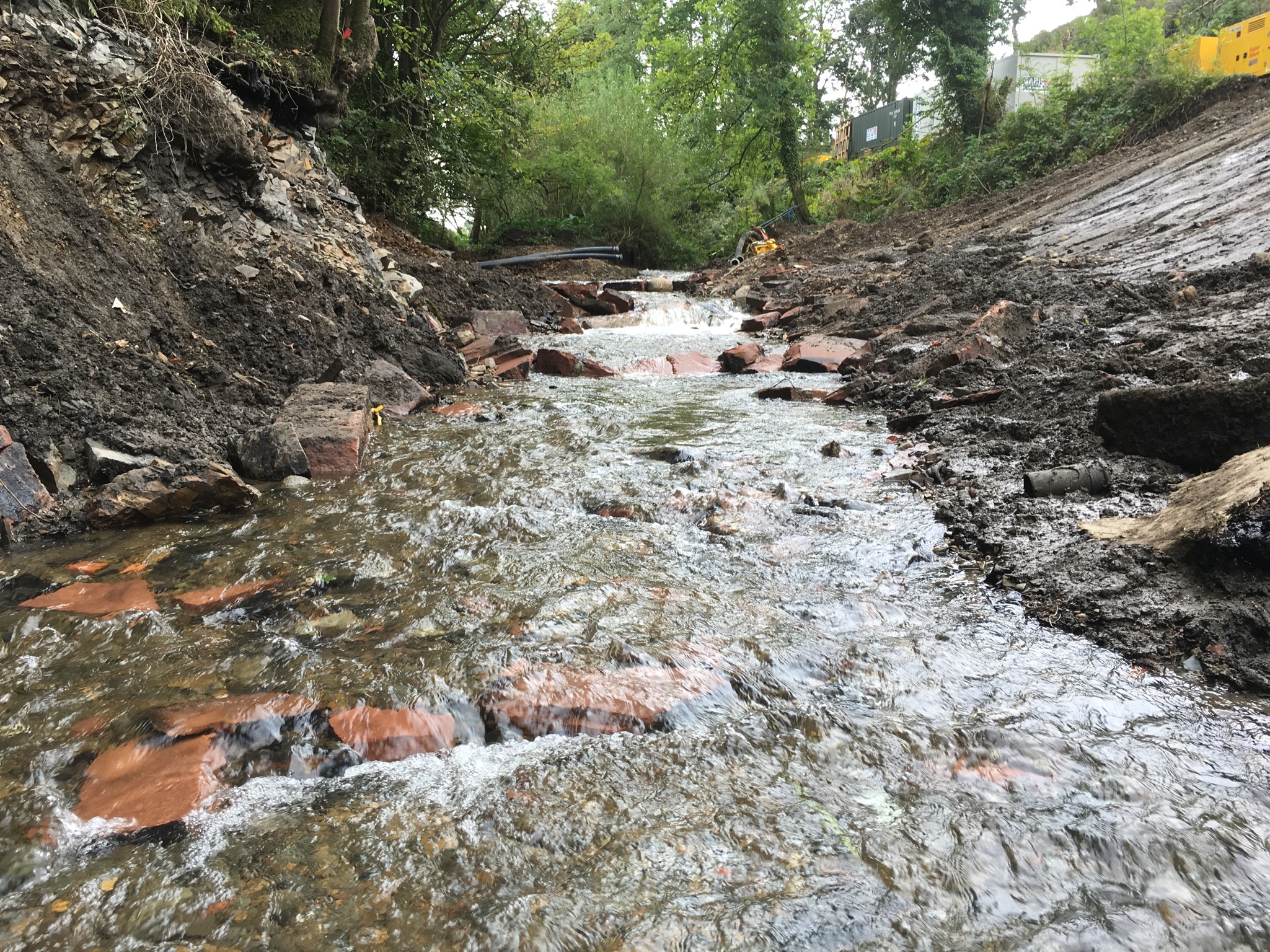
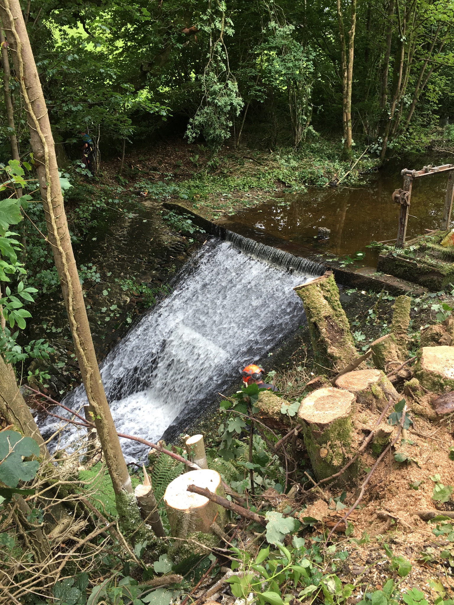
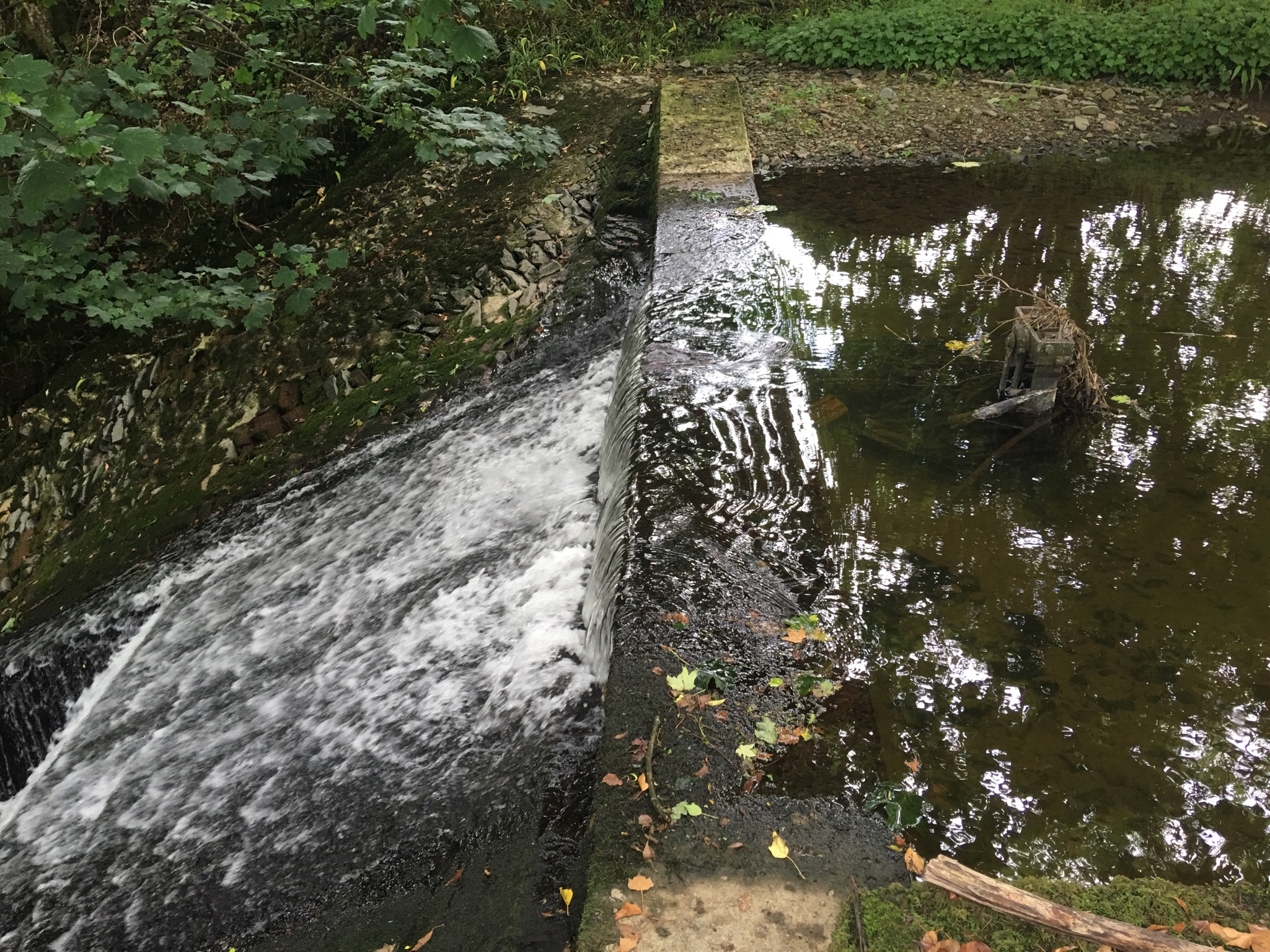
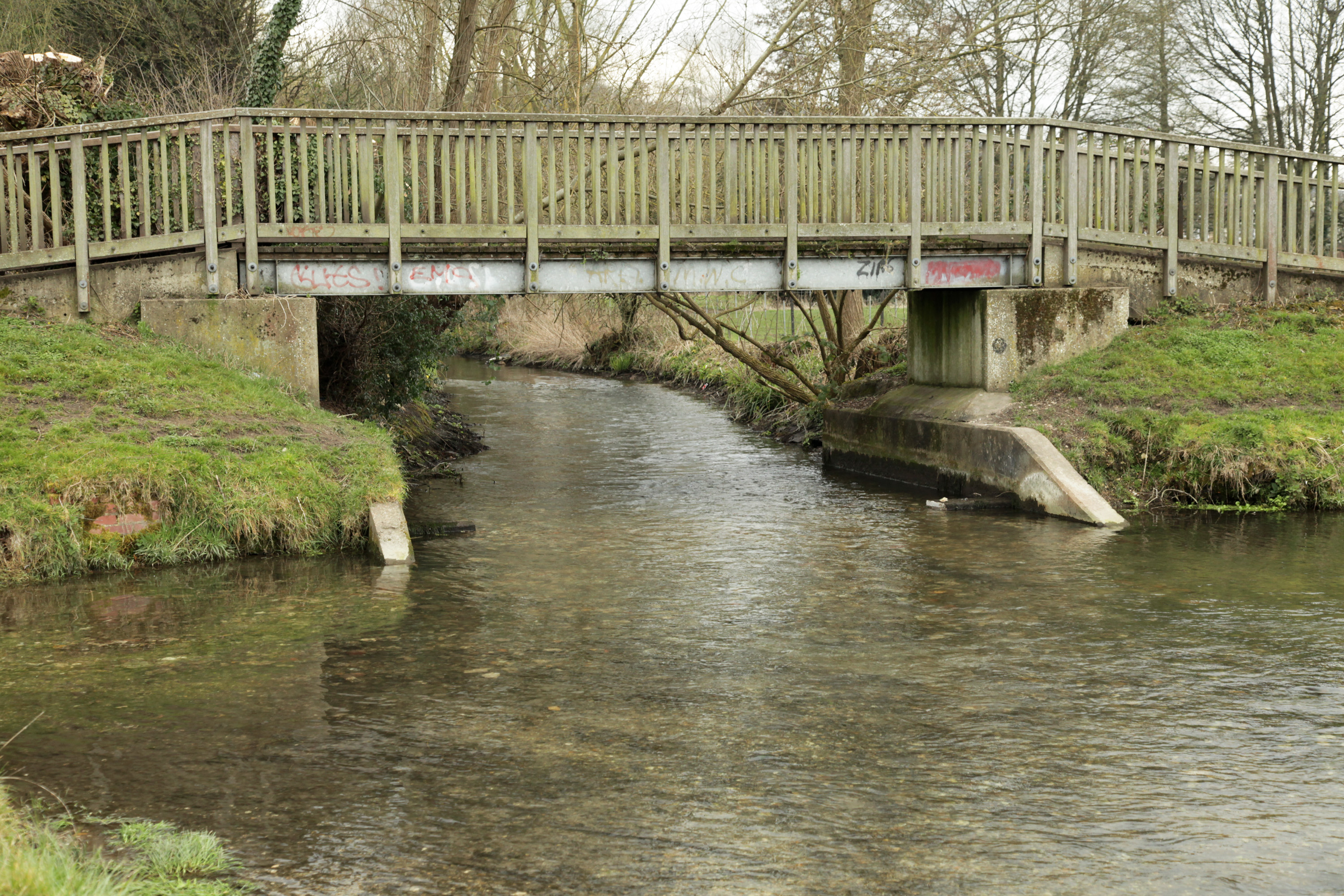
| 14:33, 25 January 2017 | 0125.JPG (file) |  |
769 KB | Robmitchell | Creamery Weir during works | 2 |
| 14:32, 25 January 2017 | Dry weir.jpeg (file) |  |
1.24 MB | Robmitchell | Dry weir pre-works | 1 |
| 14:22, 25 January 2017 | 0119.JPG (file) |  |
1.24 MB | Robmitchell | Dry weir pre-works | 1 |
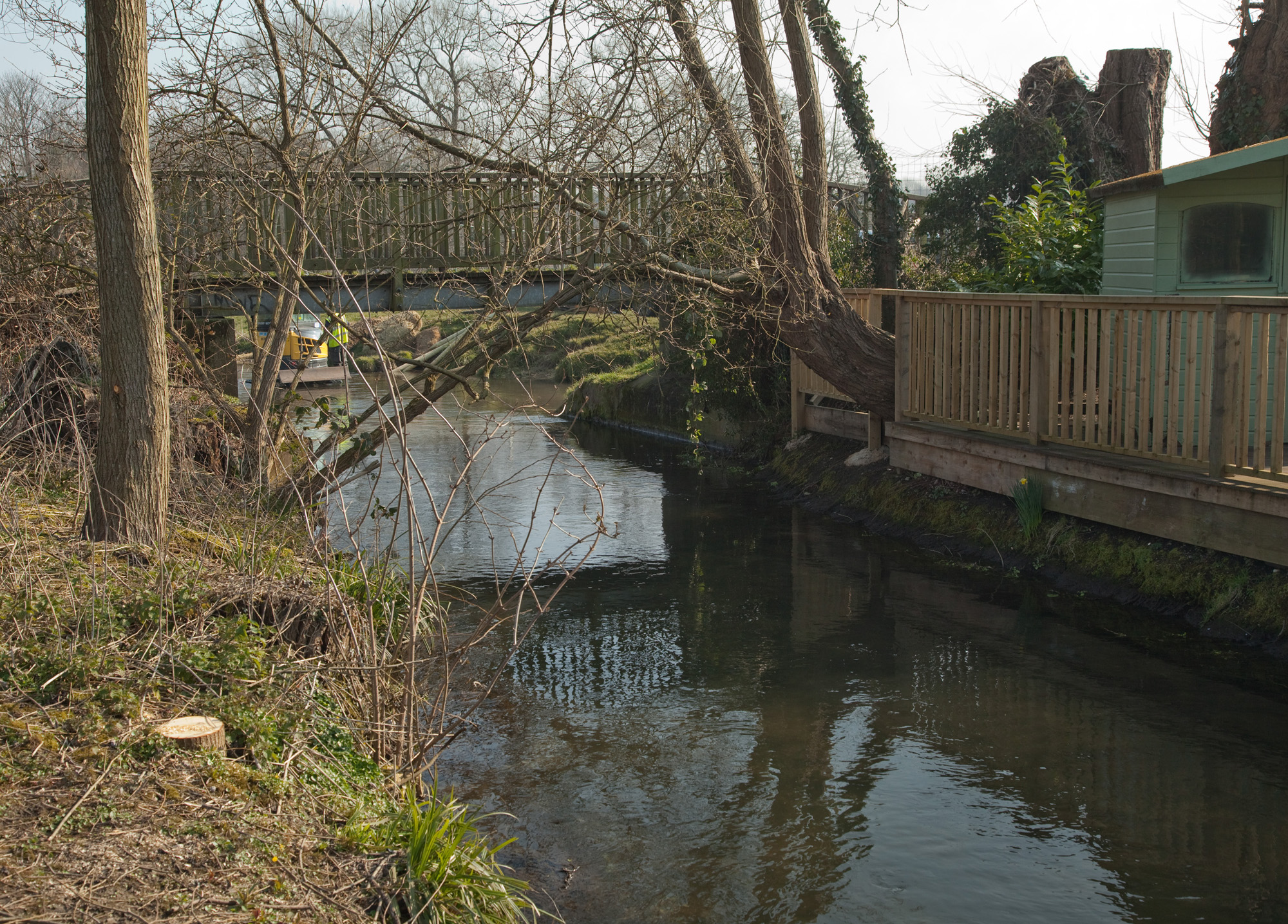
| 14:17, 25 January 2017 | 1442.JPG (file) |  |
3.9 MB | Robmitchell | Creamery Weir post-works | 1 |
| 14:15, 25 January 2017 | 0137.JPG (file) |  |
1.58 MB | Robmitchell | Creamery Weir post-works | 1 |
| 14:13, 25 January 2017 | 0130.JPG (file) |  |
1.33 MB | Robmitchell | Creamery Weir during works | 1 |
| 14:10, 25 January 2017 | Creamery Weir from downstream.jpeg (file) |  |
1.4 MB | Robmitchell | From downstream looking at weir pre-works | 1 |
| 14:08, 25 January 2017 | Creamery Weir left bank.jpeg (file) |  |
1.49 MB | Robmitchell | From top of left bank pre-works | 1 |
| 14:06, 25 January 2017 | Creamery Weir.jpg (file) |  |
1.16 MB | Robmitchell | Creamery weir looking down from crest pre-works | 1 |
| 14:04, 25 January 2017 | Creamery Weir pre-works (side profile).jpeg (file) | .jpeg) |
1.22 MB | Robmitchell | 1 | |
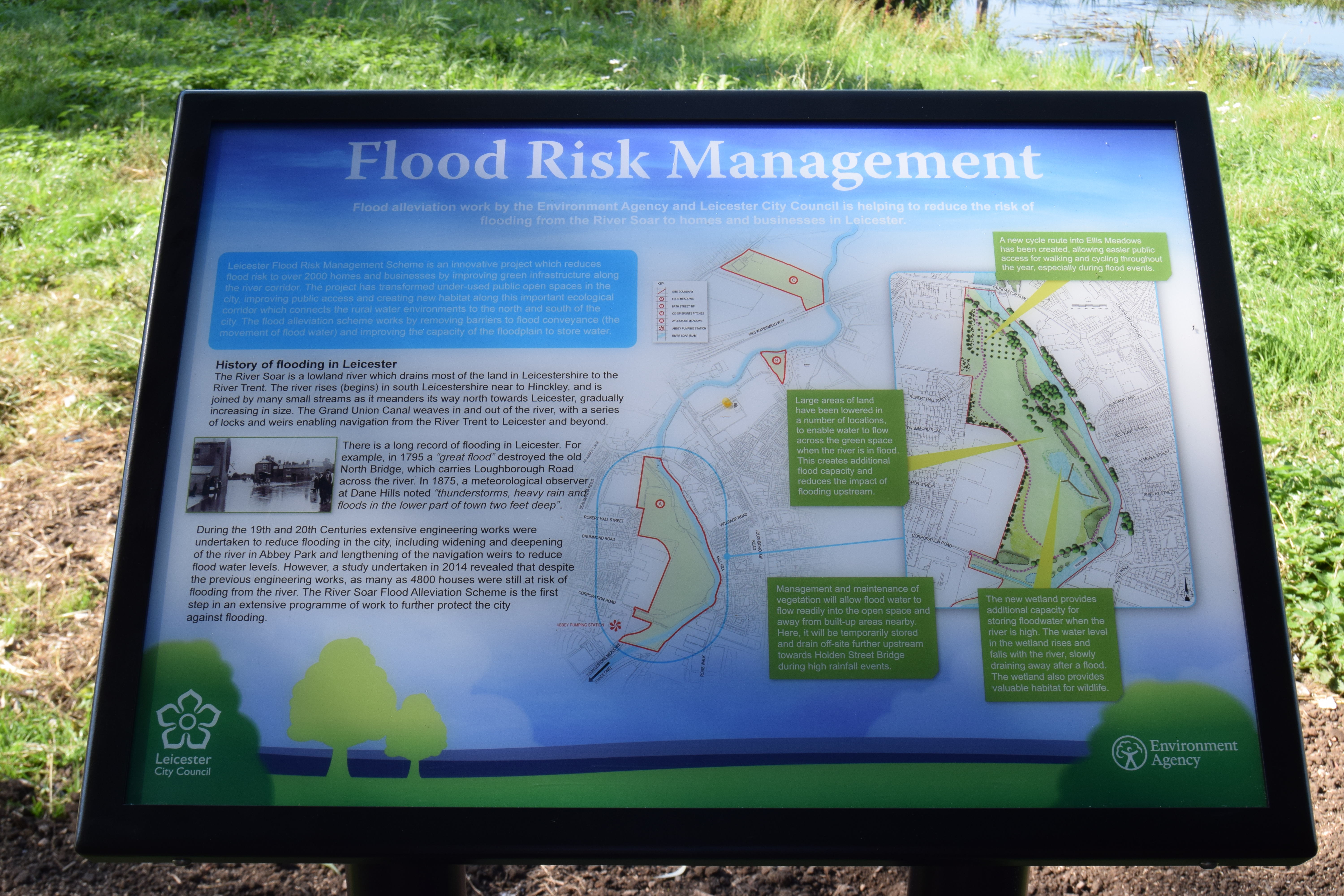
| 14:23, 24 January 2017 | Flood risk management interpretation board.JPG (file) |  |
12.2 MB | Amcdonald04 | This board sits next to the new wetland area at Ellis Meadows and gives an overview of the work to manage flood risk in the area. | 1 |
| 14:18, 24 January 2017 | Ellis Meadows board walk.JPG (file) |  |
12.2 MB | Amcdonald04 | Ellis Meadows wetland area and interpretation board. This area of underused public open space has been turned into an area that will hold flood water, support a number of wetland species and provide added interest to park users. | 1 |
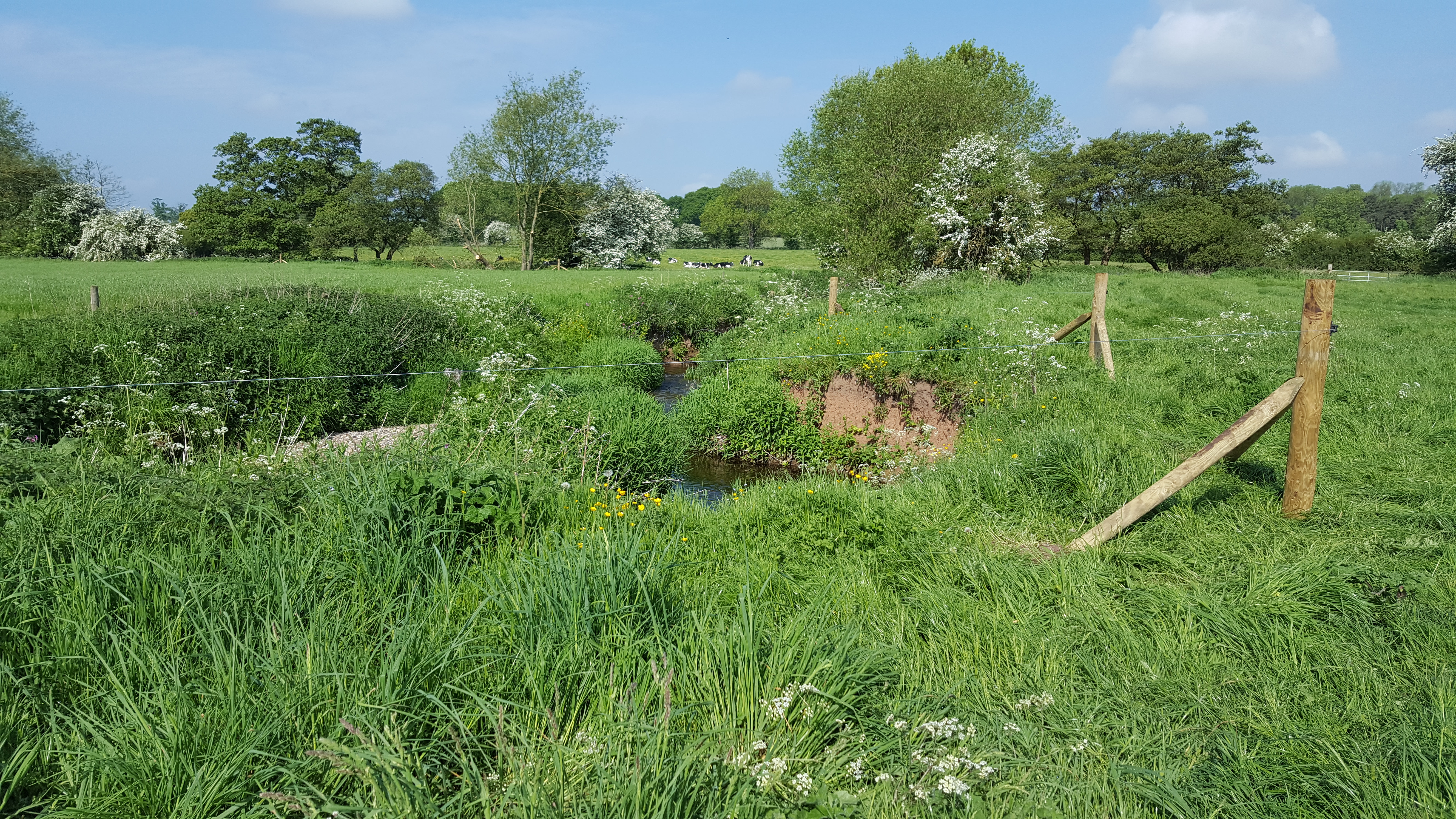
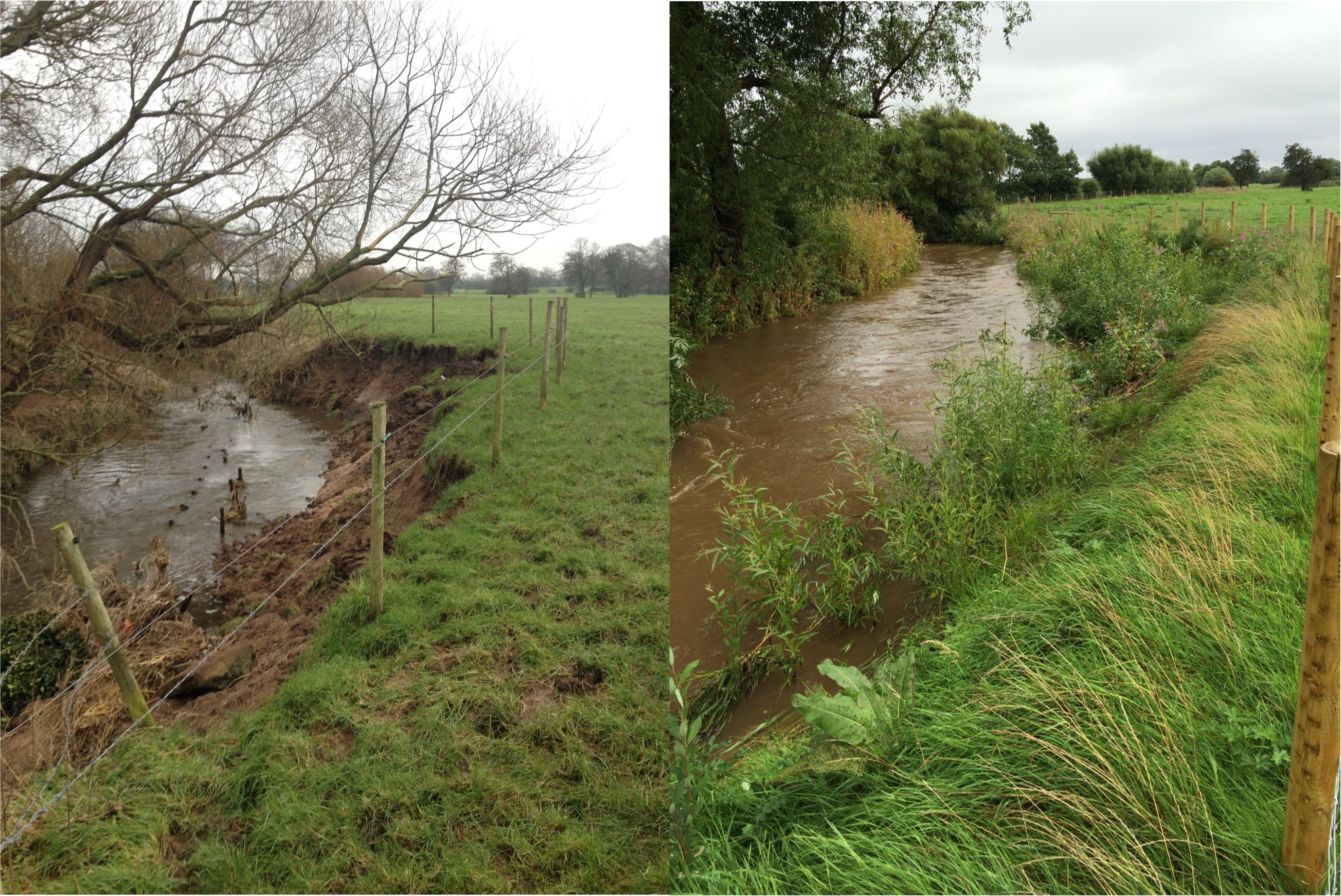
| 09:14, 23 January 2017 | Permanent Electric Fencing Foston Brook.jpg (file) |  |
8.22 MB | Alexrrc | 1 | |
| 10:30, 19 January 2017 | Norfolk logo.jpg (file) | 64 KB | Alexrrc | 4 | ||
| 17:47, 17 January 2017 | 20160405 124802.jpg (file) |  |
1.53 MB | TimPrecious | 1 | |
| 14:07, 17 January 2017 | Morden Hall.jpg (file) |  |
1.8 MB | Alexrrc | 1 | |
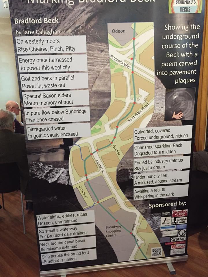
| 17:21, 16 January 2017 | Poetry launch4.jpg (file) |  |
107 KB | BigGeoff | Diagrammatic representation of the location of the 15 plaques placed to mark the route of the Beck, along with the lines of the specially commissioned poem on each plaque | 1 |
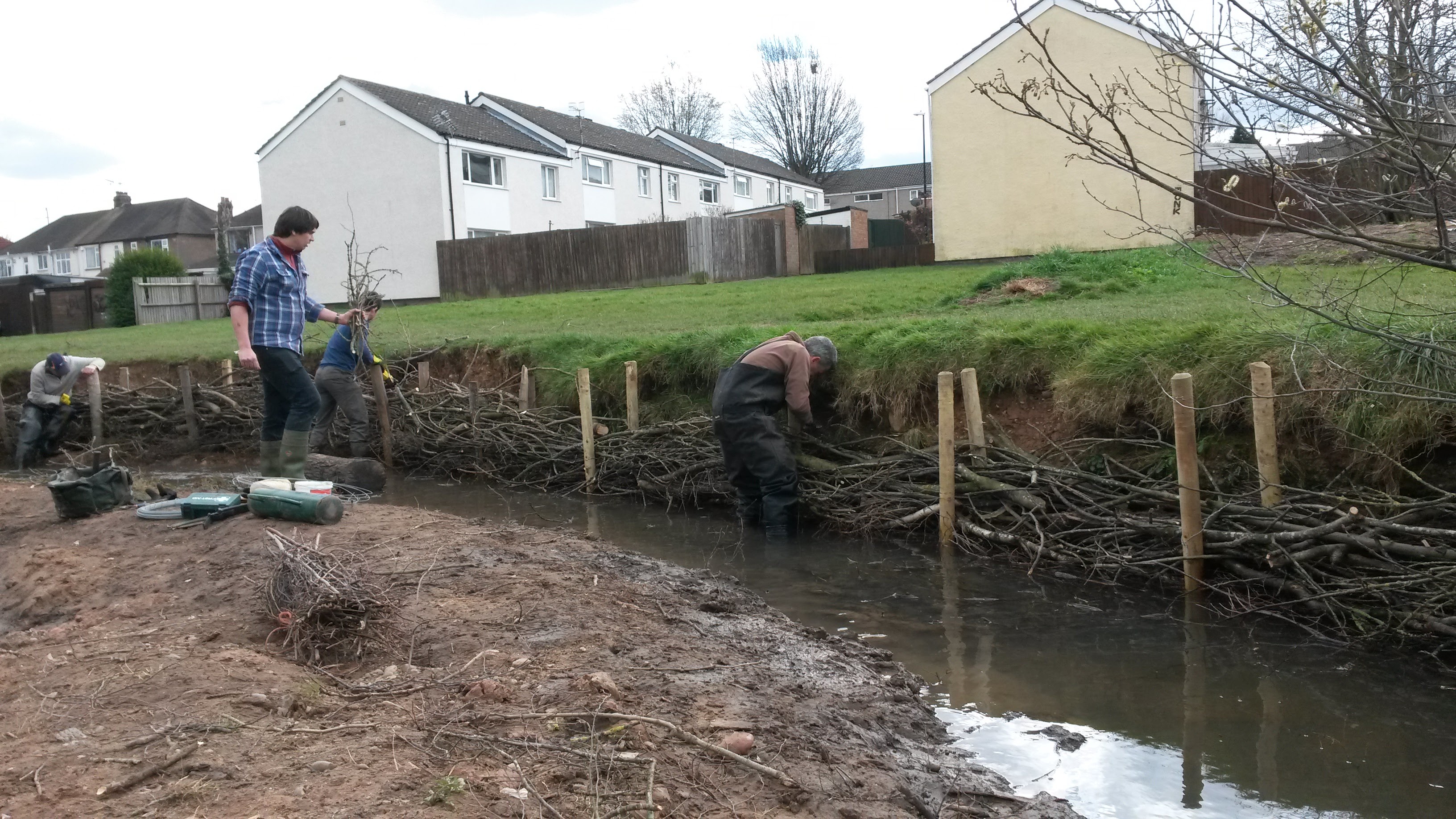
| 15:41, 16 January 2017 | After work 22-3-16.JPG (file) |  |
2.1 MB | Alexrrc | 1 | |
| 15:40, 16 January 2017 | View downstream to weir during removal 21-3-16.jpg (file) |  |
1.29 MB | Alexrrc | 1 | |
| 15:40, 16 January 2017 | Weir removal in progress 21-3-16.jpg (file) |  |
1.88 MB | Alexrrc | 1 | |
| 15:40, 16 January 2017 | Weir before removal.jpg (file) |  |
134 KB | Alexrrc | 1 | |
| 15:39, 16 January 2017 | View downstream to weir after removal 22-3-16.JPG (file) |  |
1.25 MB | Alexrrc | 1 | |
| 15:37, 16 January 2017 | Weir before work 2010.jpg (file) |  |
134 KB | Alexrrc | 1 | |
| 09:47, 16 January 2017 | CPAF5.jpg (file) |  |
2.11 MB | Alexrrc | 1 | |
| 15:31, 11 January 2017 | Bathgate.jpg (file) |  |
3.72 MB | Alexrrc | 1 | |
| 15:29, 11 January 2017 | Bathgate sites (2).jpg (file) | .jpg) |
3.72 MB | Alexrrc | 1 | |
| 15:01, 11 January 2017 | Rochdale-3.jpg (file) |  |
275 KB | Alexrrc | 1 | |
| 12:43, 11 January 2017 | Tree planting.jpg (file) |  |
34 KB | Alexrrc | 1 | |
| 12:43, 11 January 2017 | Cattle pasture pumps.jpg (file) |  |
51 KB | Alexrrc | 1 | |
| 12:43, 11 January 2017 | Riparian buffer strip & drinking bay.jpg (file) |  |
58 KB | Alexrrc | 1 |