Uploads by NickRRC
Jump to navigation
Jump to search
This special page shows all uploaded files.
| Date | Name | Thumbnail | Size | Description | Versions |
|---|---|---|---|---|---|
| 15:54, 13 May 2014 | Ribble StockBeck.png (file) |  |
849 KB | 1 | |
| 15:49, 13 May 2014 | Ribble Skirden.png (file) |  |
1.25 MB | 1 | |
| 15:44, 13 May 2014 | Ribble Easington.png (file) |  |
725 KB | 1 | |
| 15:39, 13 May 2014 | Ribble Loud.png (file) |  |
1.21 MB | 1 | |
| 15:26, 13 May 2014 | DTRIP.png (file) |  |
923 KB | 1 | |
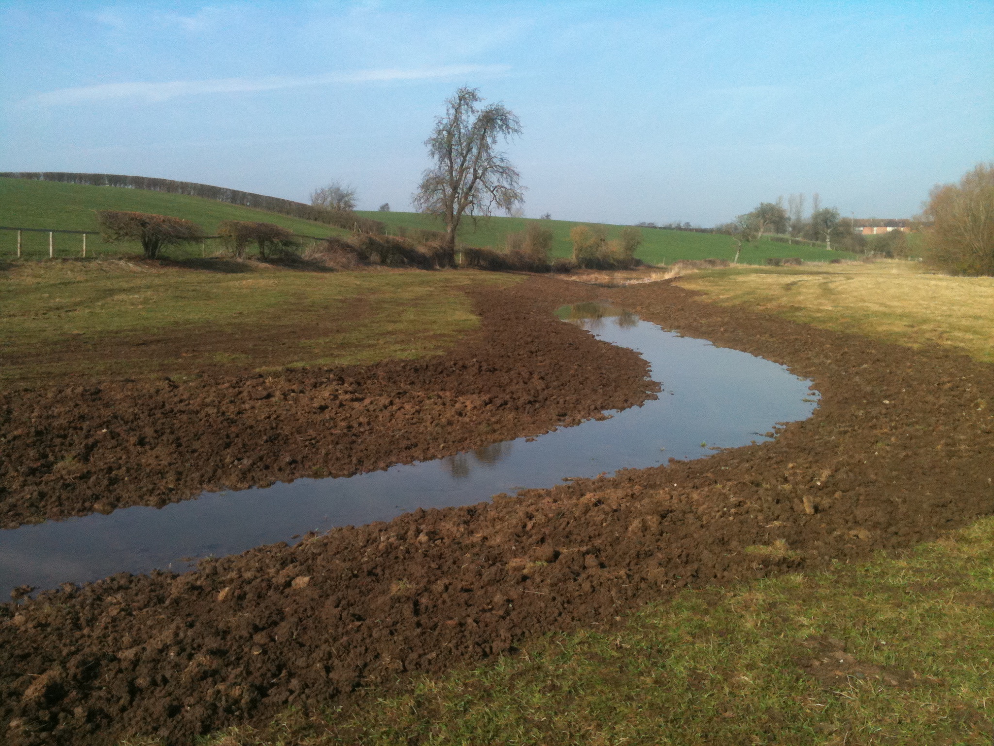
| 15:00, 13 May 2014 | Bow Brook Mill Farm After.JPG (file) |  |
1.02 MB | 1 | |
| 14:59, 13 May 2014 | Bow Brook Hazel Faggots.JPG (file) |  |
4.81 MB | 1 | |
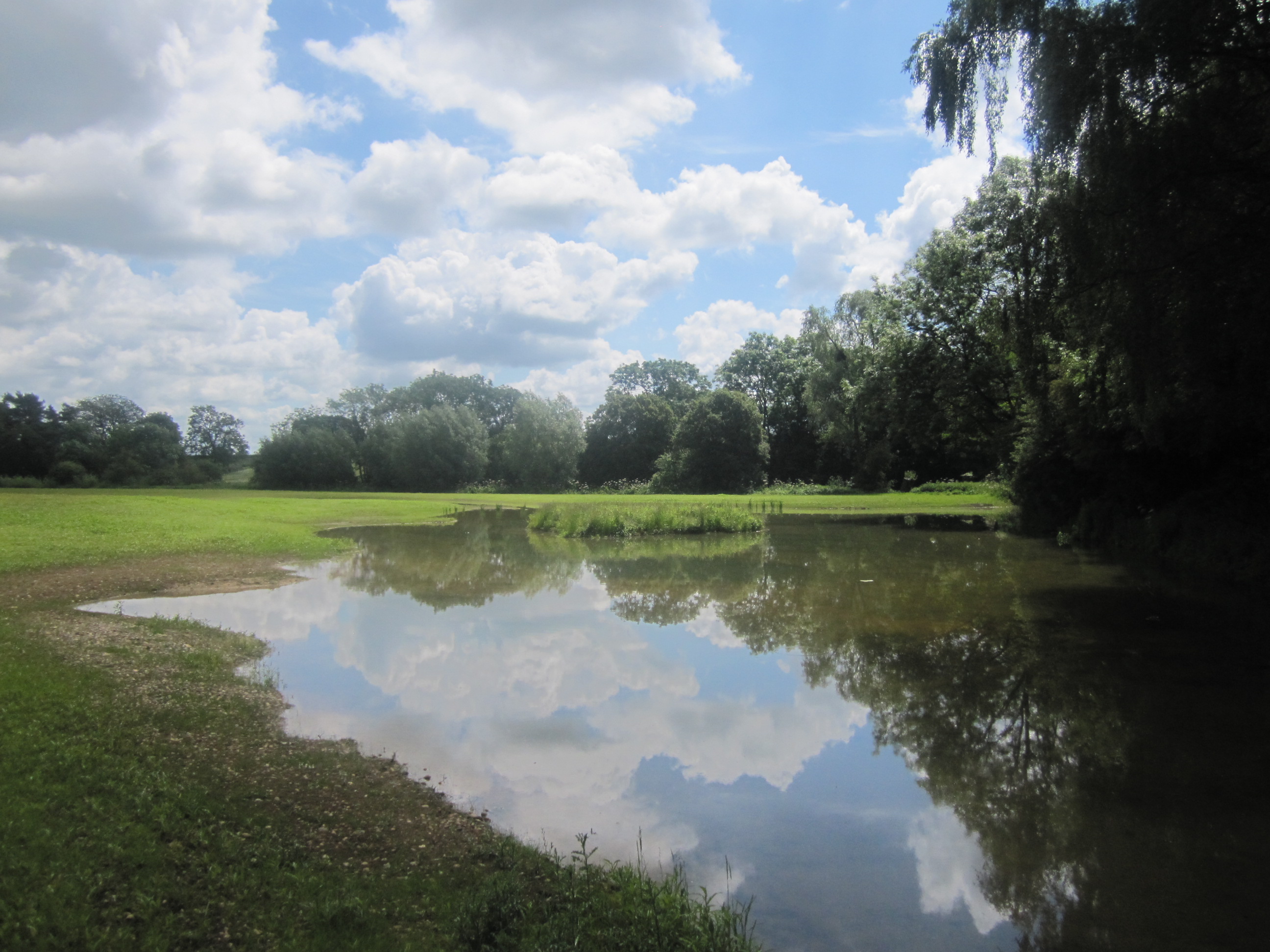
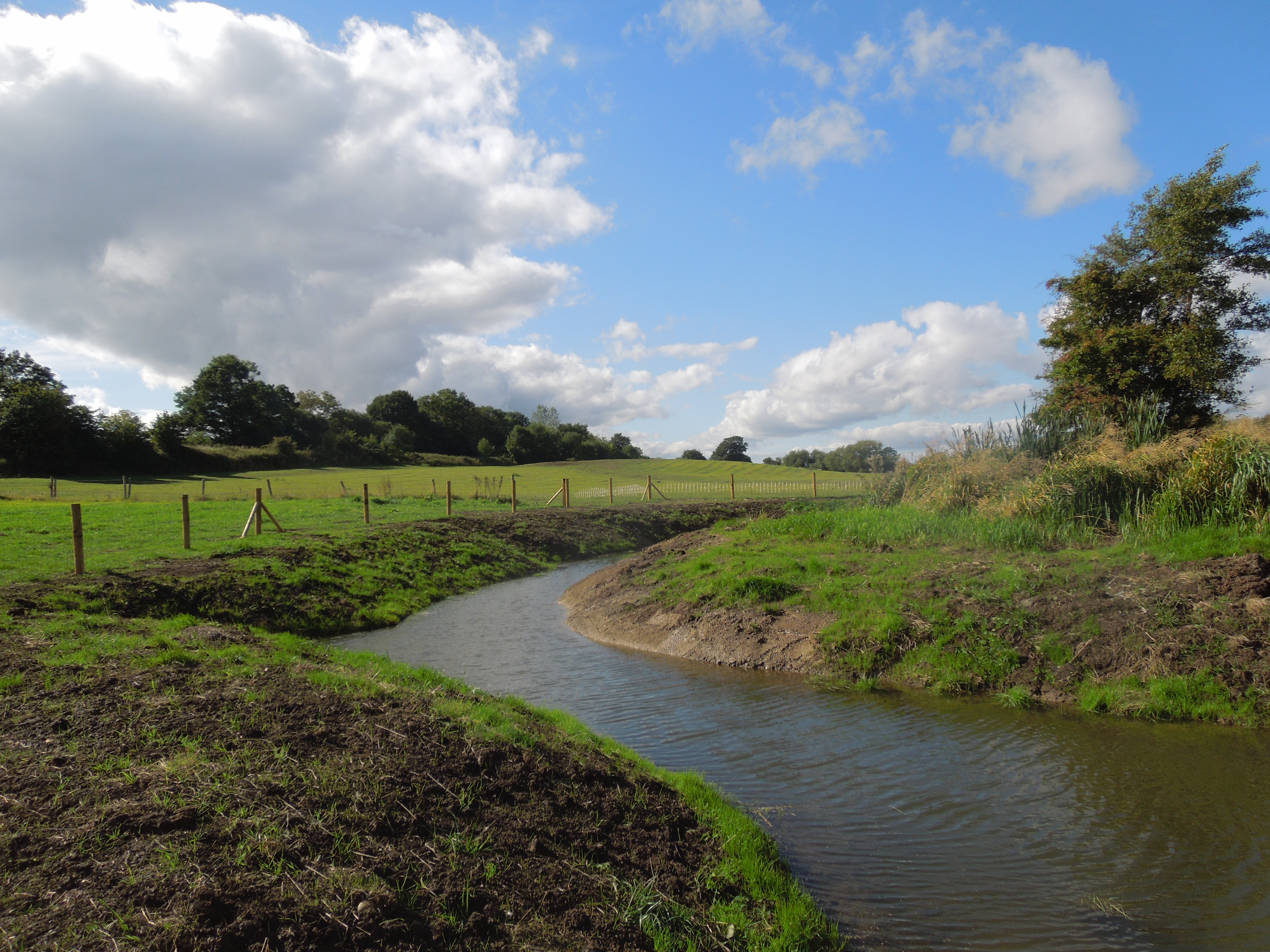
| 14:59, 13 May 2014 | Bow Brook Farm Relict Channel.jpg (file) |  |
1.26 MB | 1 | |
| 14:57, 13 May 2014 | Bow Brook 100m backwater channel Sept 2013.JPG (file) |  |
5.48 MB | 1 | |
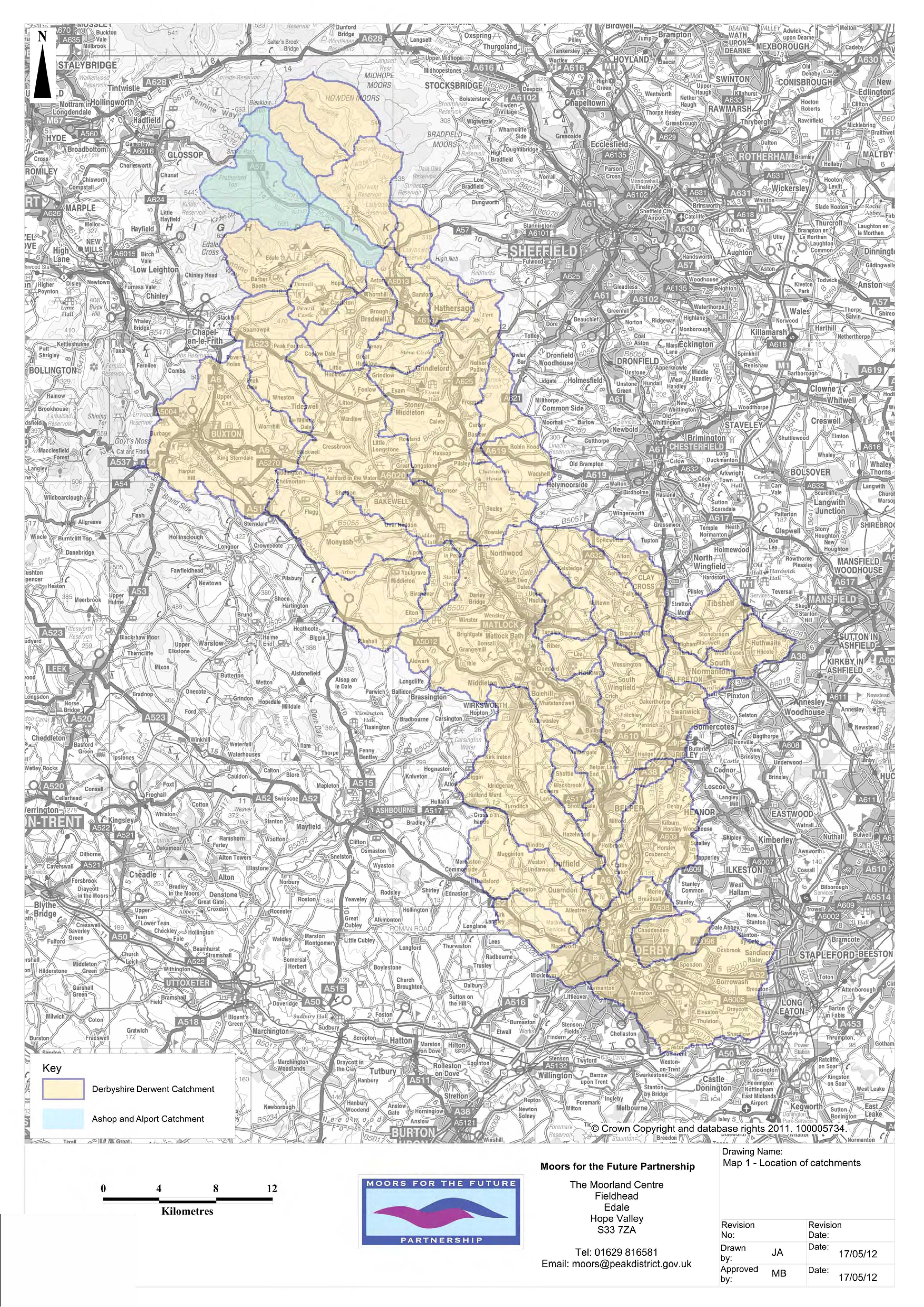
| 14:25, 13 May 2014 | MFTFP Map.jpg (file) |  |
2.17 MB | 1 | |
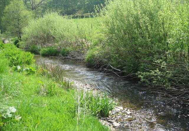
| 13:59, 13 May 2014 | Wye3.jpg (file) |  |
73 KB | 1 | |
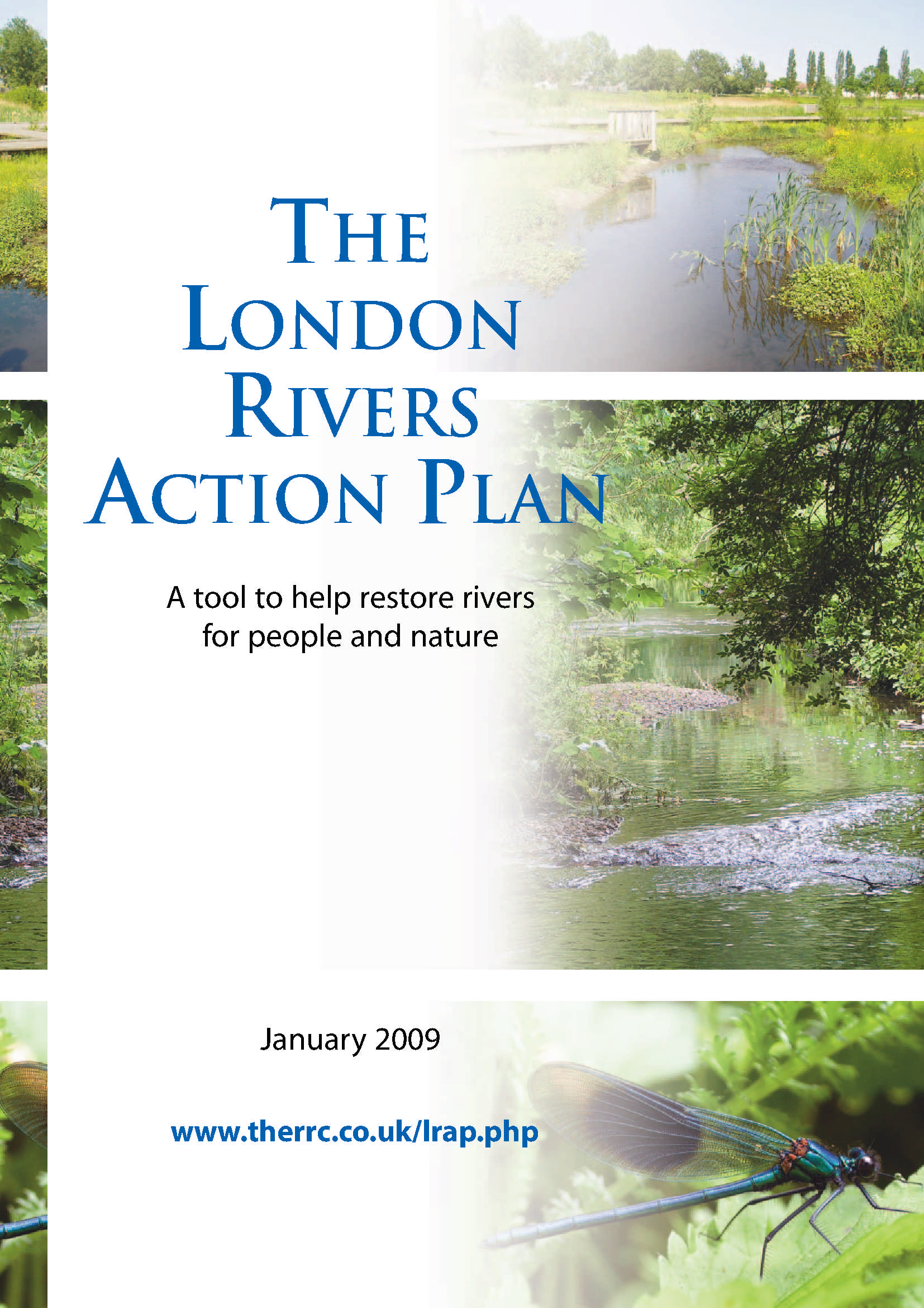
| 08:29, 17 April 2014 | LRAPplan.jpg (file) |  |
814 KB | 1 | |
| 16:49, 14 March 2014 | Mayesbrook project monitoring strategy - September 2012.pdf (file) | 1.34 MB | 2 | ||
| 15:37, 13 March 2014 | MayesbrookR3 evolvinginchannelfeatureAut12.jpg (file) |  |
127 KB | 1 | |
| 15:36, 13 March 2014 | MayesbrookR3 evolvinginchannelfeatureAut11.jpg (file) |  |
51 KB | 1 | |
| 15:00, 13 March 2014 | MayesbrookR2SUD1.jpg (file) |  |
28 KB | 1 | |
| 14:55, 13 March 2014 | MayesbrookR1 afterrestoration3.jpg (file) |  |
34 KB | 1 | |
| 14:54, 13 March 2014 | MayesbrookR1 afterrestoration2.jpg (file) |  |
36 KB | 1 | |
| 14:49, 13 March 2014 | MayesbrookR1 afterrestoration.jpg (file) |  |
41 KB | 1 | |
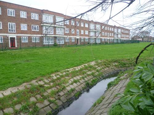
| 14:47, 13 March 2014 | MayesbrookR1 beforerestoration.jpg (file) |  |
37 KB | 1 | |
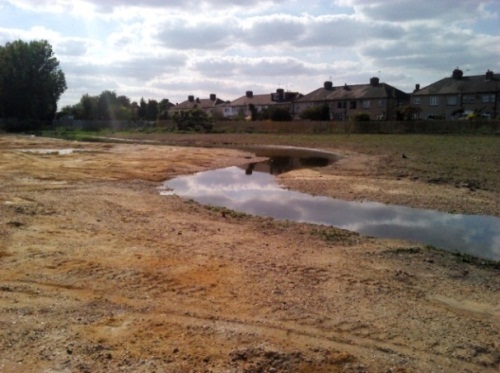
| 14:45, 13 March 2014 | MayesbrookR3 duringconstruction.jpg (file) |  |
68 KB | 1 | |
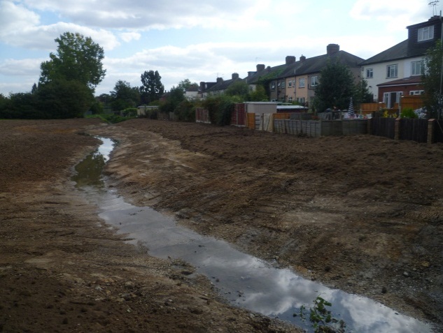
| 14:44, 13 March 2014 | MayesbrookR4 duringconstruction.jpg (file) |  |
106 KB | 1 | |
| 14:43, 13 March 2014 | MayesbrookR3 backwaterbrook.jpg (file) |  |
59 KB | 1 | |
| 14:42, 13 March 2014 | MayesbrookR3 brook+backwaterconfluence.jpg (file) |  |
59 KB | 2 | |
| 14:35, 13 March 2014 | Mayesbrook R3 flowdissipation.png (file) |  |
242 KB | 1 | |
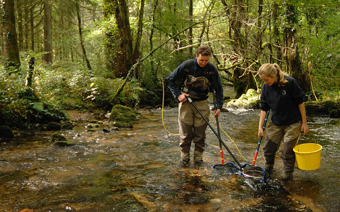
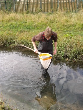
| 14:30, 13 March 2014 | MayesbrookEAkicksampling.jpg (file) |  |
48 KB | 1 | |
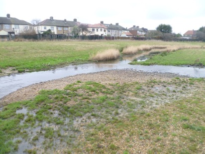
| 14:28, 13 March 2014 | MayesbrookR3 restored.jpg (file) |  |
50 KB | 1 | |
| 14:26, 13 March 2014 | MayesbrookR2 lowermaintenance.jpg (file) |  |
75 KB | 1 | |
| 14:25, 13 March 2014 | MayesbrookR4.png (file) |  |
489 KB | 1 | |
| 11:13, 13 March 2014 | Mayesbrook restored.kml (file) | 13 KB | 2 | ||
| 13:53, 12 March 2014 | SouthCalderWater.kml (file) | 2 KB | 1 | ||
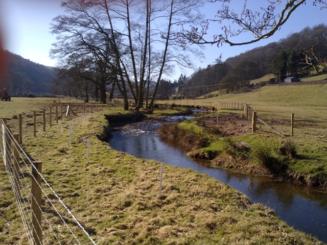
| 15:43, 27 February 2014 | Newly-created-buffer-strip-on-the-River-Clun.jpg (file) |  |
331 KB | 1 | |
| 15:18, 27 February 2014 | Clun.png (file) |  |
1.93 MB | 1 | |
| 13:07, 27 February 2014 | Holnicote.kml (file) | 17 KB | 3 | ||
| 09:50, 27 February 2014 | Holnicote PAA.jpg (file) |  |
35 KB | 1 | |
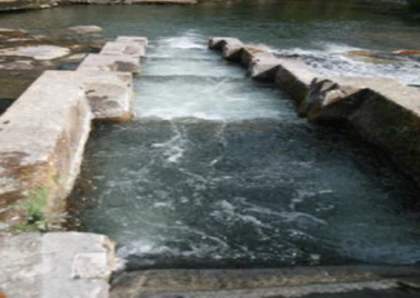
| 11:24, 21 February 2014 | Newe Fish Pass.png (file) |  |
256 KB | 1 | |
| 17:14, 20 February 2014 | PiP-Ehen.kml (file) | 15 KB | 1 | ||
| 12:09, 20 February 2014 | Spillway restoring connectivity 1112.jpg (file) |  |
167 KB | 1 | |
| 12:08, 20 February 2014 | Spillway lowering embankments 0912.jpg (file) |  |
169 KB | 2 | |
| 12:08, 20 February 2014 | Before overwidedeep 0312.jpg (file) |  |
117 KB | 1 | |
| 12:08, 20 February 2014 | After meandering.jpg (file) |  |
296 KB | 2 | |
| 12:08, 20 February 2014 | After berms 0813.jpg (file) |  |
2.32 MB | 1 | |
| 12:08, 20 February 2014 | After berms 0812.jpg (file) |  |
138 KB | 1 | |
| 10:08, 20 February 2014 | RWRS newsletter Feb 2014 (emailable).pdf (file) | 717 KB | 2 | ||
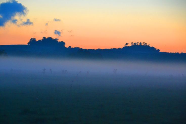
| 12:27, 17 February 2014 | Sunset rfl.jpg (file) |  |
22 KB | Sunset across the project site before construction(the Environment Agency) | 1 |
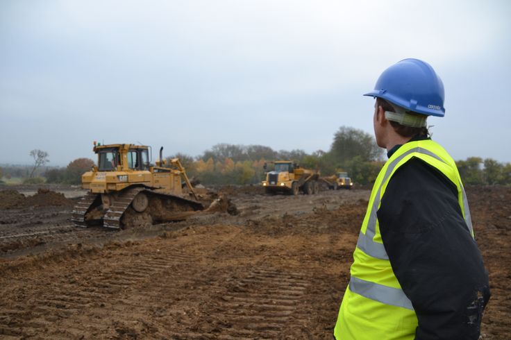
| 12:23, 17 February 2014 | River of life construction 1.jpg (file) |  |
46 KB | Construction has been underway at the site since 2013. Sustainable re-use of materials is an important part of the project (the Environment Agency) | 1 |
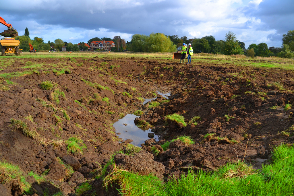
| 15:43, 11 February 2014 | Excavation 3.jpg (file) |  |
487 KB | Phase 1 works underway (the Environment Agency) | 1 |
| 15:41, 11 February 2014 | Excavation 2.jpg (file) |  |
424 KB | Phase 1 of works taking place (the Environment Agency) | 1 |
| 15:40, 11 February 2014 | Ise rushton loop.jpg (file) | 2.9 MB | 1 | ||
| 15:40, 11 February 2014 | Excavation 1.jpg (file) |  |
593 KB | Phase 1 works taking place (the Environment Agency) | 1 |