Uploads by NickRRC
Jump to navigation
Jump to search
This special page shows all uploaded files.
| Date | Name | Thumbnail | Size | Description | Versions |
|---|---|---|---|---|---|
| 15:27, 11 February 2014 | Nene NIA.kml (file) | 452 KB | 2 | ||
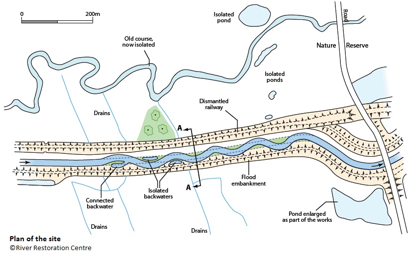
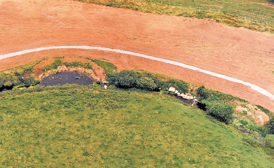
| 15:12, 11 February 2014 | Plan view map (Earth Trust).gif (file) | .gif) |
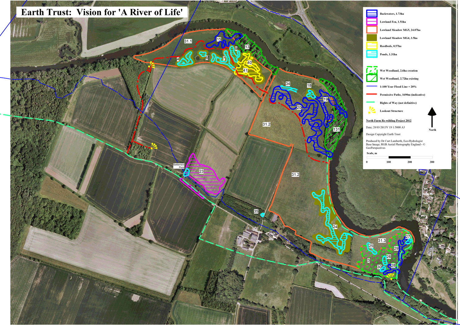
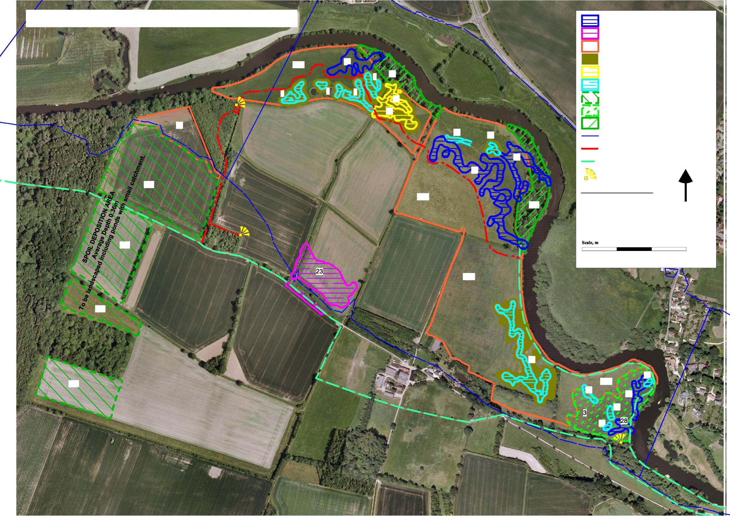
783 KB | River of Life plan view map (the Earth Trust) | 1 |
| 15:11, 11 February 2014 | Earth Trust's Vision for A River of Life (3).gif (file) | .gif) |
783 KB | River of Life plan view map (the Earth Trust) | 3 |
| 15:08, 11 February 2014 | Earth Trust's Vision for A River of Life (2).gif (file) | .gif) |
783 KB | River of Life plan view map (the Earth Trust) | 1 |
| 15:06, 11 February 2014 | Picture1v1.jpg (file) |  |
709 KB | River of Life plan view map (the Earth Trust) | 1 |
| 15:04, 11 February 2014 | Plan map.pdf (file) | 1.68 MB | River of Life plan view map (the Earth Trust) | 2 | |
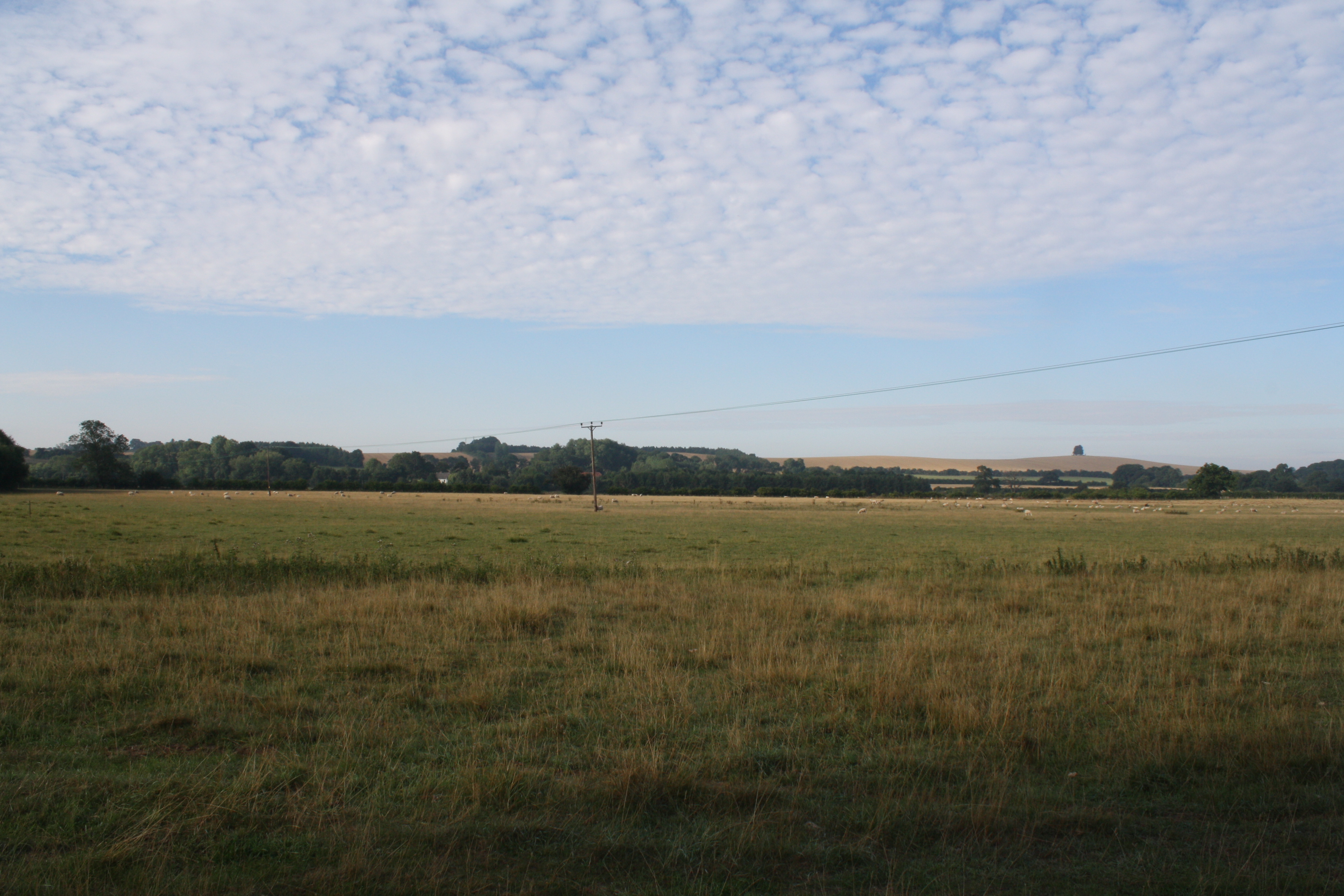
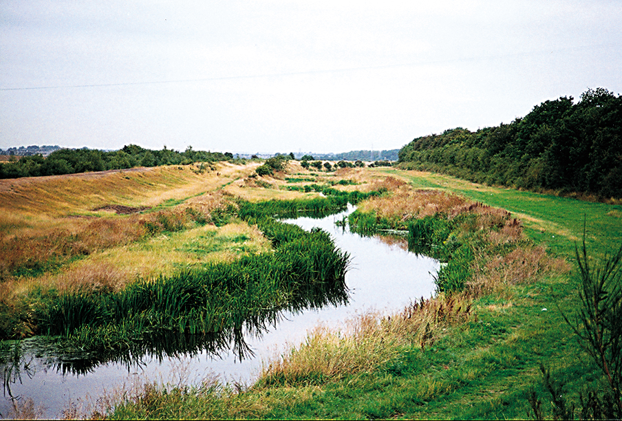
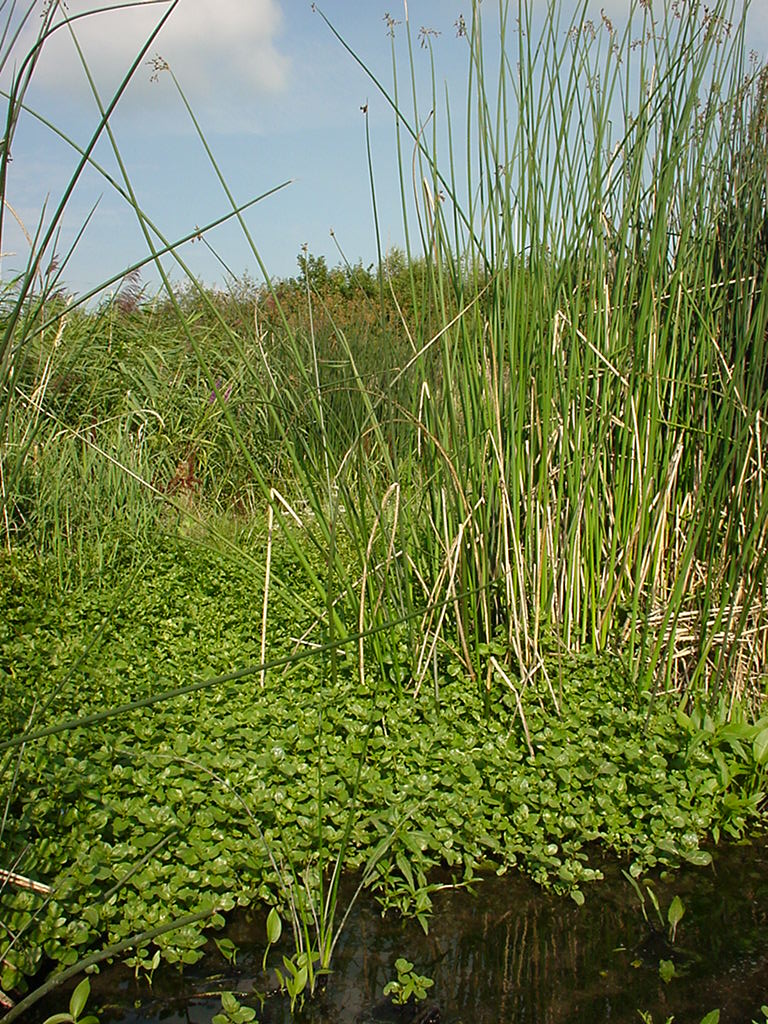
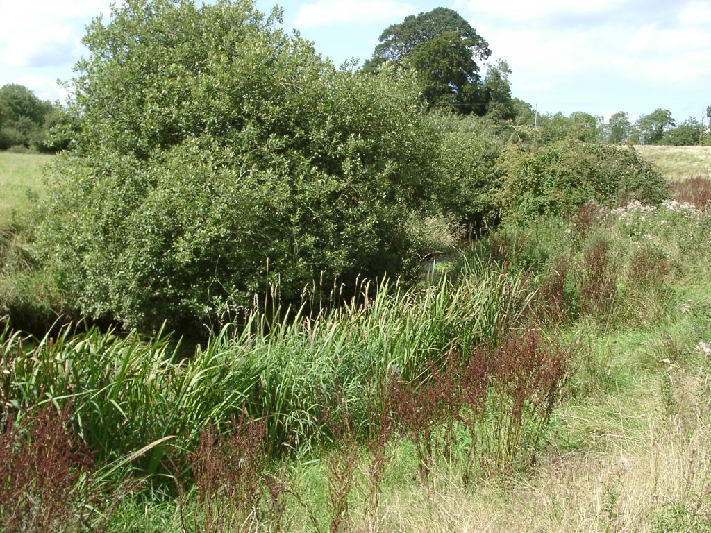
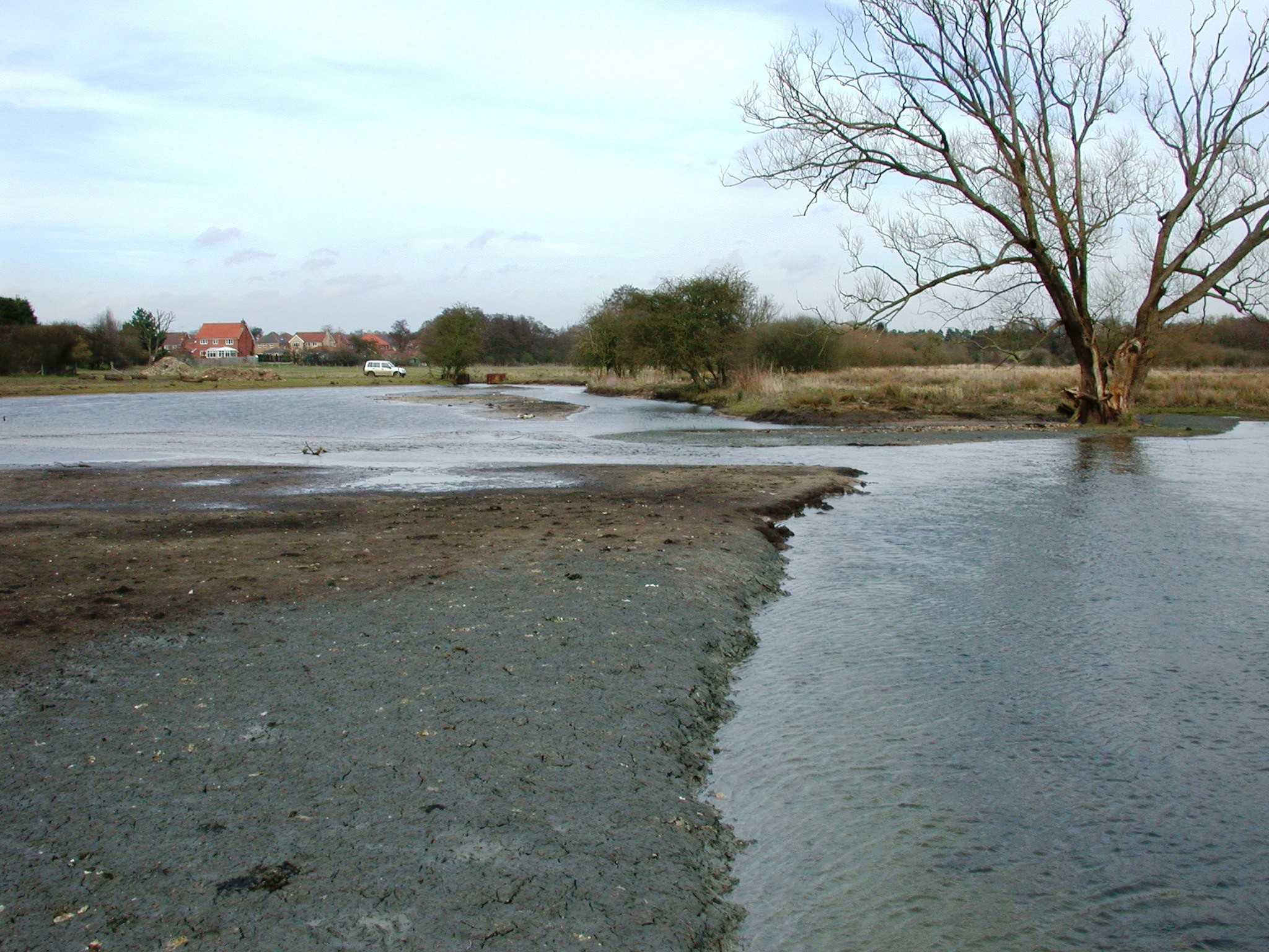
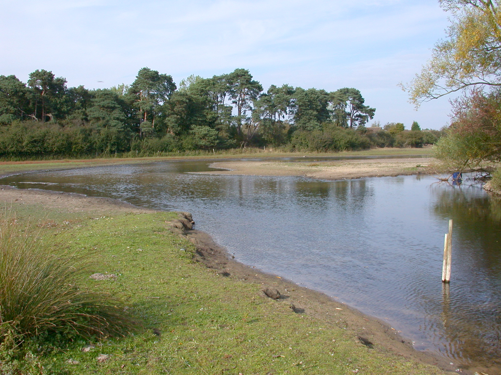
| 15:02, 11 February 2014 | Field 2 (2).JPG (file) | .JPG) |
3.31 MB | River of Life pre-works (River Restoration Centre) | 1 |
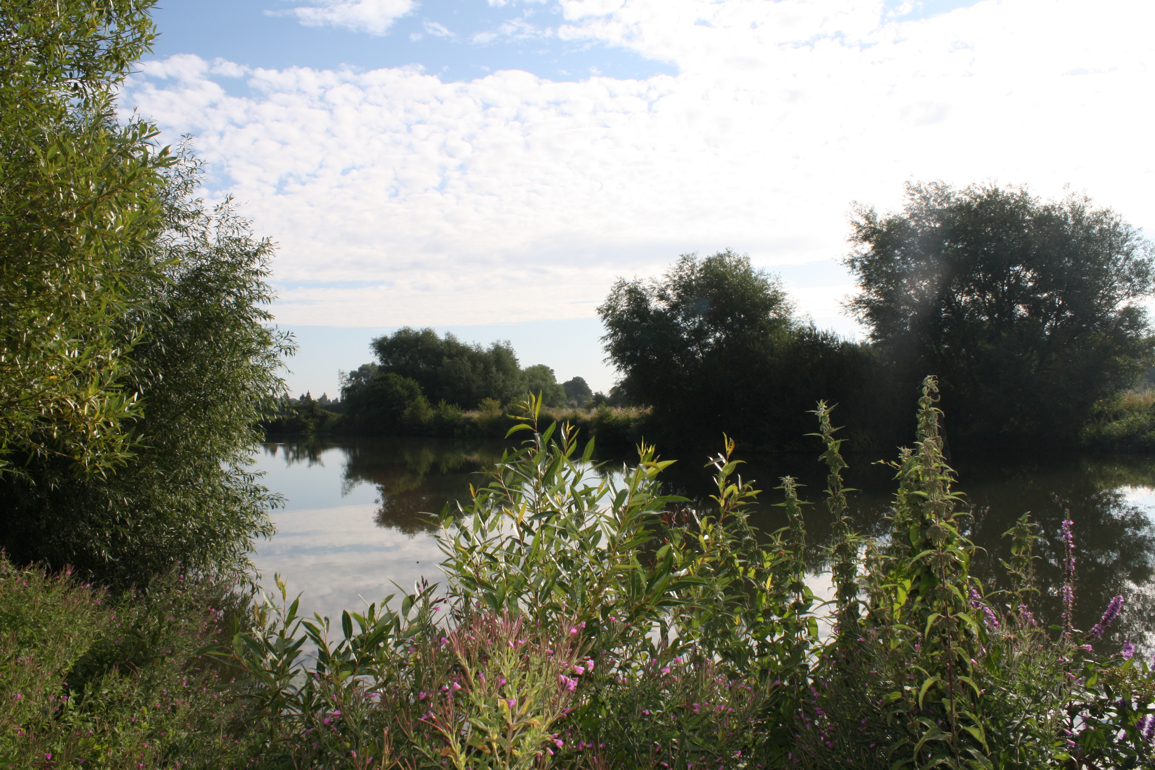
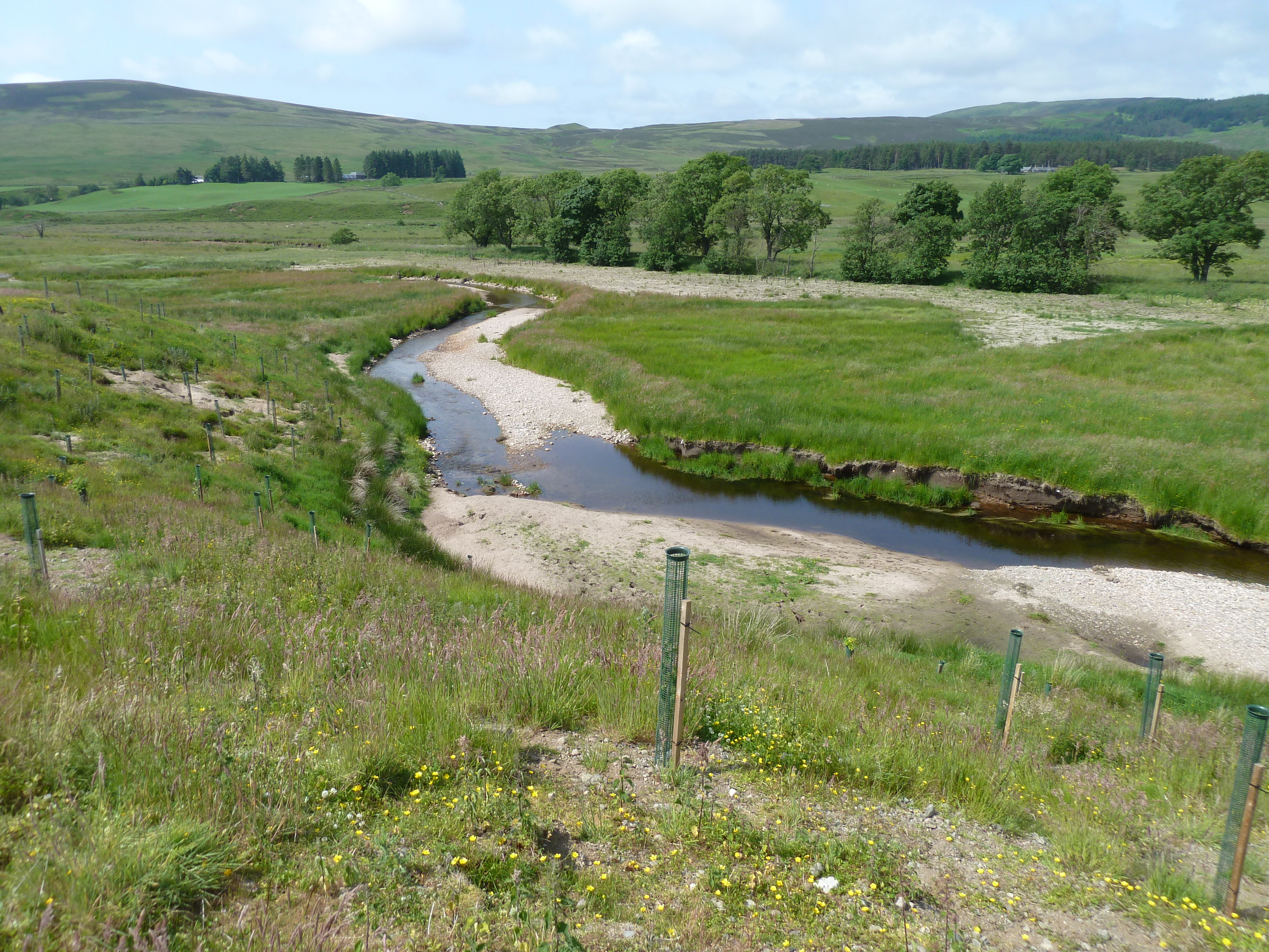
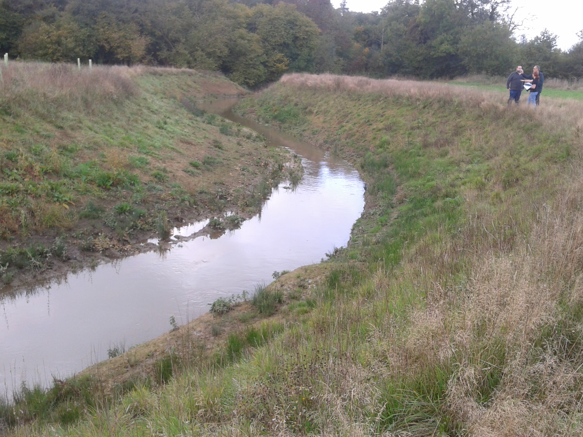
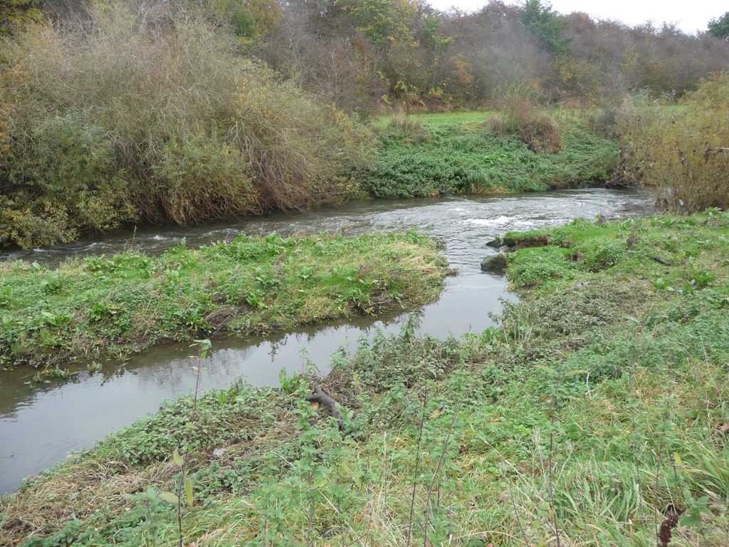
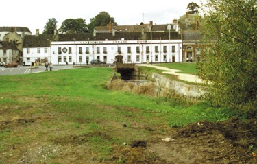
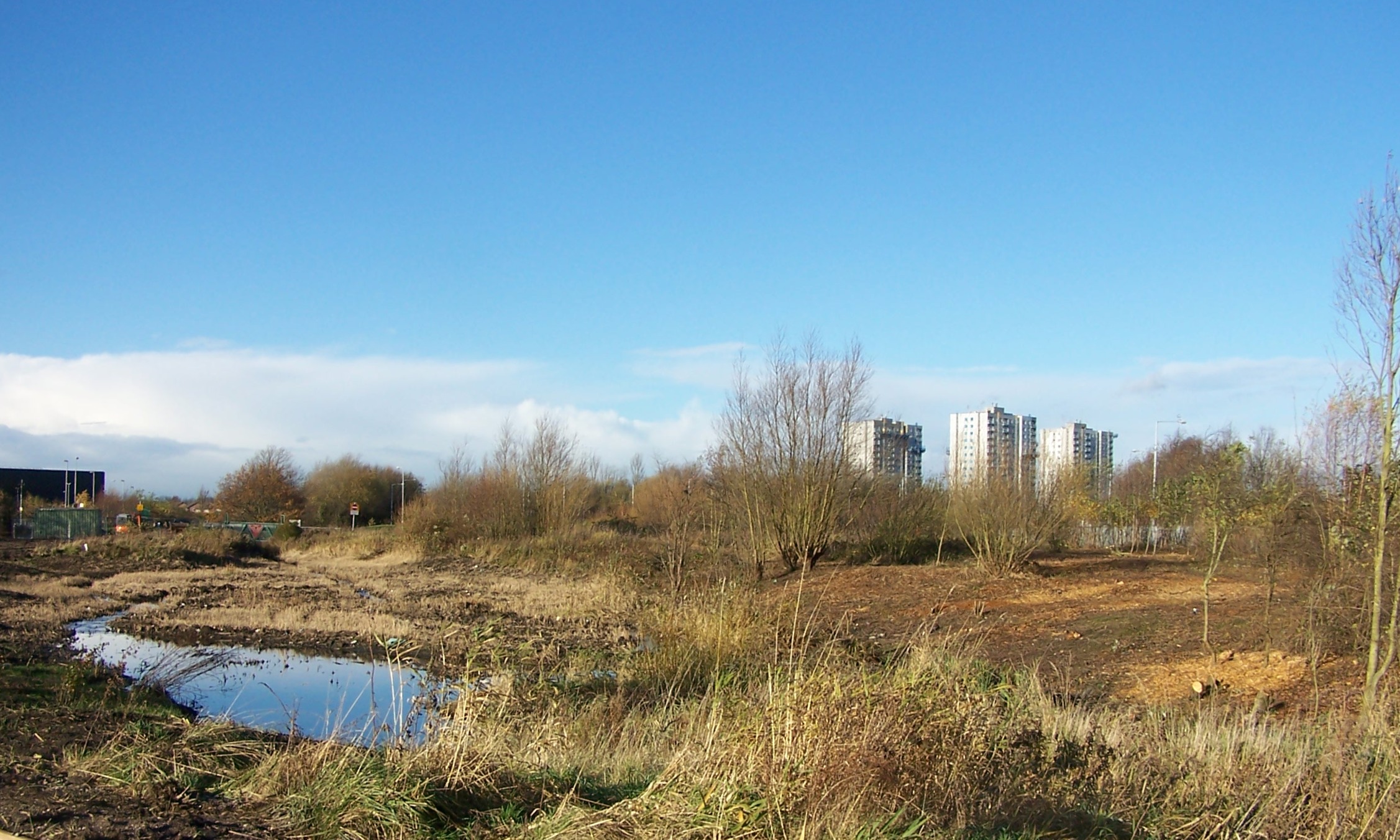
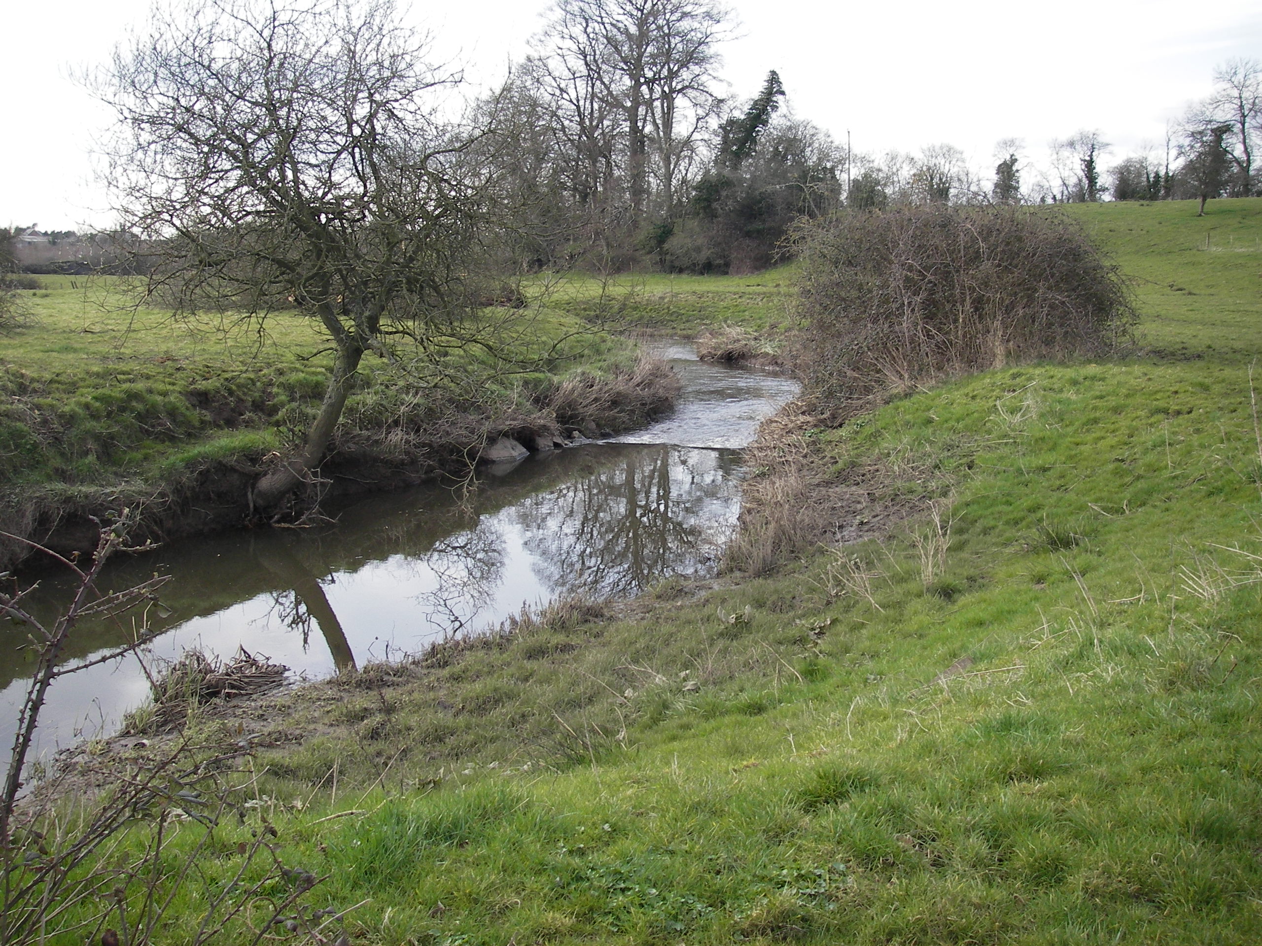
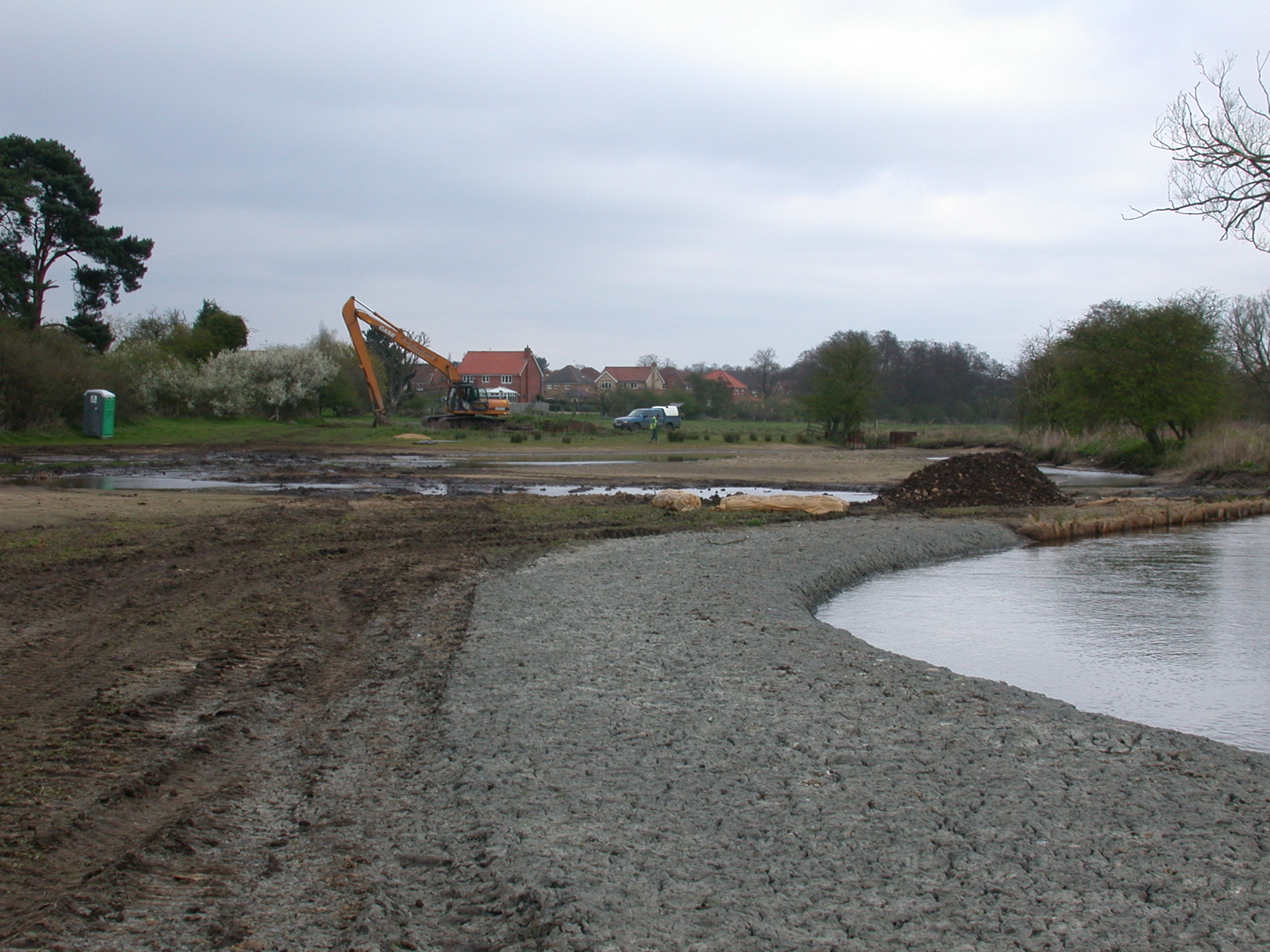
| 15:00, 11 February 2014 | Existing bankline.JPG (file) |  |
4.49 MB | Pre-project bank line at the River of Life site | 1 |
| 14:21, 11 February 2014 | 4. Earth Trust River of Life Map.pdf (file) | 1.68 MB | River of life plan view map (the Earth Trust) | 1 | |
| 17:26, 29 January 2014 | Ciwem-environment-ouse-adur-article-2014.pdf (file) | 751 KB | "Partnerships Pay" article from the February 2014 issue of the CIWEM publication, 'The Environment'. Success of the Ouse & Adur partnerships; the Middle Ouse Restoration of Physical Habitats (MORPH) and Adur Restoration of Physical Habitats (ARPHA), au... | 1 | |
| 16:22, 21 January 2014 | Rottal after.jpg (file) |  |
3.38 MB | 1 | |
| 16:39, 11 December 2013 | PickeringBeck&DuchyWater.jpg (file) |  |
234 KB | 1 | |
| 11:54, 11 December 2013 | 2013-10-24 12.52.37.jpg (file) |  |
1.52 MB | 1 | |
| 11:54, 11 December 2013 | 2013-10-24 12.44.15.jpg (file) |  |
1.22 MB | 1 | |
| 11:51, 11 December 2013 | 2013-10-24 12.26.30.jpg (file) | 277 KB | 1 | ||
| 11:48, 11 December 2013 | 2013-10-24 12.44.26.jpg (file) |  |
1.22 MB | Restored meander, October 2013 (1 year+ post works) | 1 |
| 16:35, 27 November 2013 | EDDLESTON LEAFLET 2013.pdf (file) | 4.46 MB | 1 | ||
| 11:03, 15 October 2013 | IMG 8506 1.jpg (file) |  |
6 KB | 1 | |
| 09:30, 15 October 2013 | P3090039.JPG (file) |  |
2.11 MB | Courtesy of RRC (2009) | 1 |
| 09:16, 26 July 2013 | RiverDearne Silted.JPG (file) |  |
553 KB | Silted backwater, October 2012 ©Environment Agency | 2 |
| 09:15, 26 July 2013 | River Dearne Operational backwater channel.JPG (file) |  |
499 KB | Main channel and remaining operational backwater, October 2012 ©Environment Agency | 1 |
| 17:07, 25 July 2013 | Dearne l.jpg (file) |  |
783 KB | New sinuous reed-fringed course following restoration | 1 |
| 17:03, 25 July 2013 | Dearne f.jpg (file) |  |
1.04 MB | Channel narrowing has increased velocities and created riffles used for fish spawning | 1 |
| 17:01, 25 July 2013 | Dearne a.jpg (file) |  |
726 KB | Canalised reach before restoration works. Over-wide, straightened and choked in the summer | 1 |
| 16:59, 25 July 2013 | Dearne 3 6 5.jpg (file) |  |
1.21 MB | Main channel and backwaters five years after restoration works. Summer 2000 | 1 |
| 16:57, 25 July 2013 | Dearne 3 6 3.jpg (file) |  |
2.16 MB | Placement of boulders and berm backfilling | 1 |
| 14:57, 25 July 2013 | RiverDearne Siteplan.jpg (file) |  |
125 KB | Site plan for restored channel ©RRC | 1 |
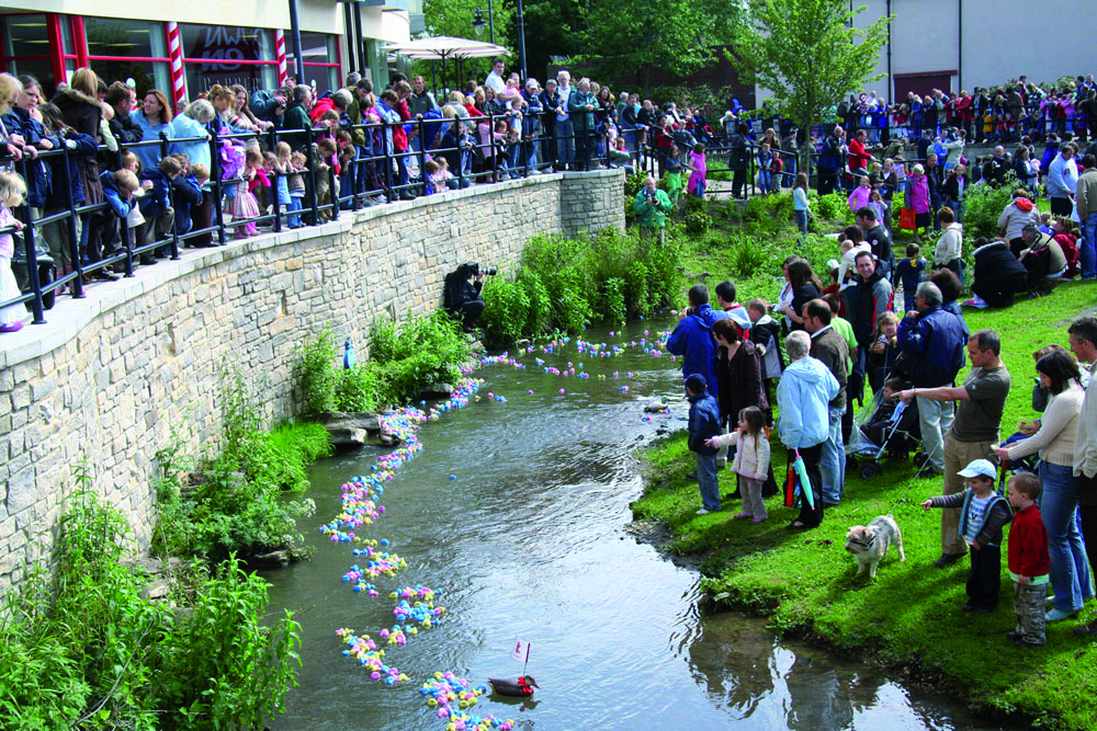
| 10:53, 25 July 2013 | Calne Duck Race 19.05.07 0192.jpg (file) |  |
1.84 MB | Calne charity duck race with the river as a focal point - 2007 ©NPA | 1 |
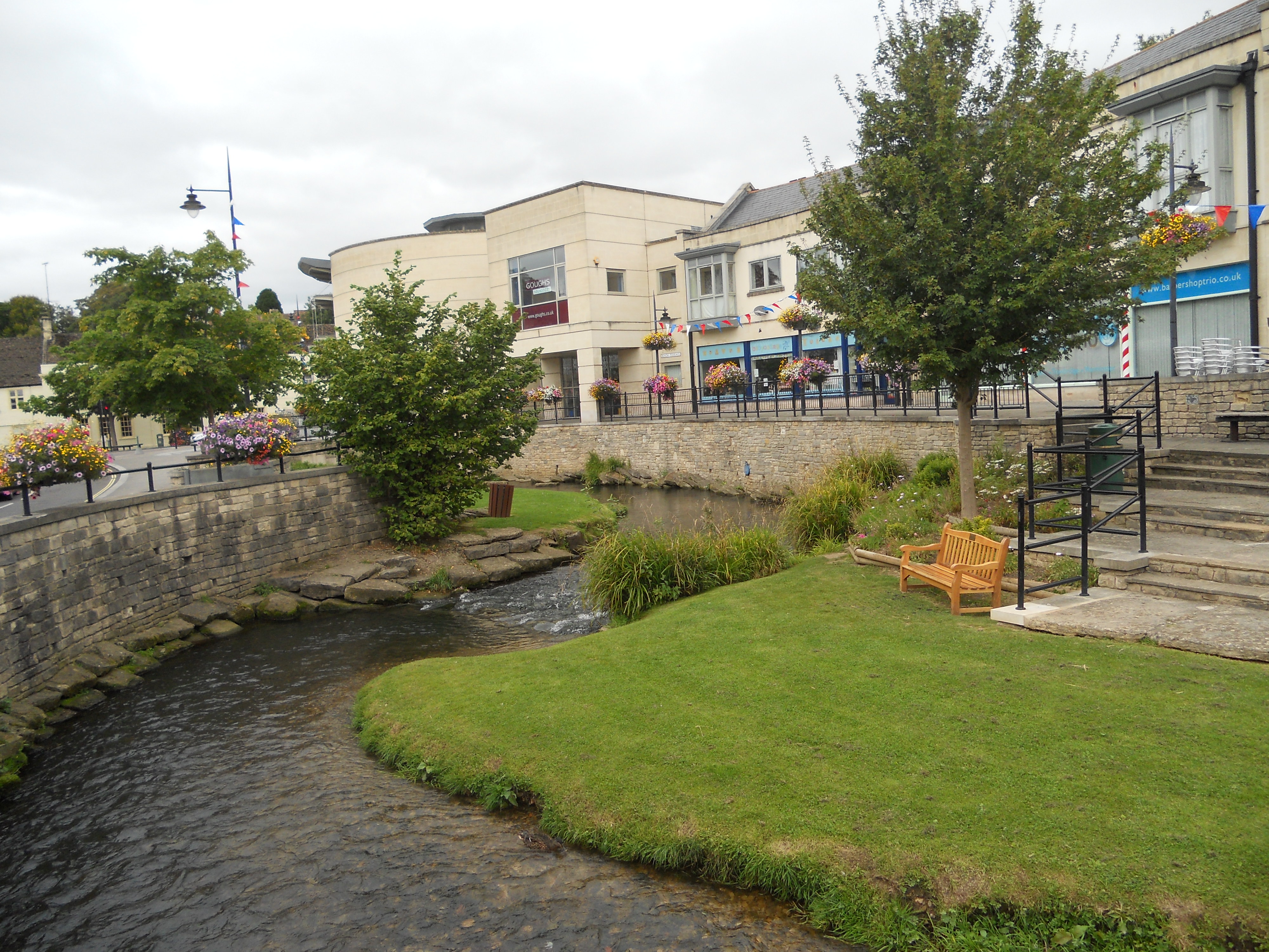
| 10:50, 25 July 2013 | 2012.JPG (file) |  |
2.63 MB | Re-meandered channel showing riverside access in 2012 ©NPA | 2 |
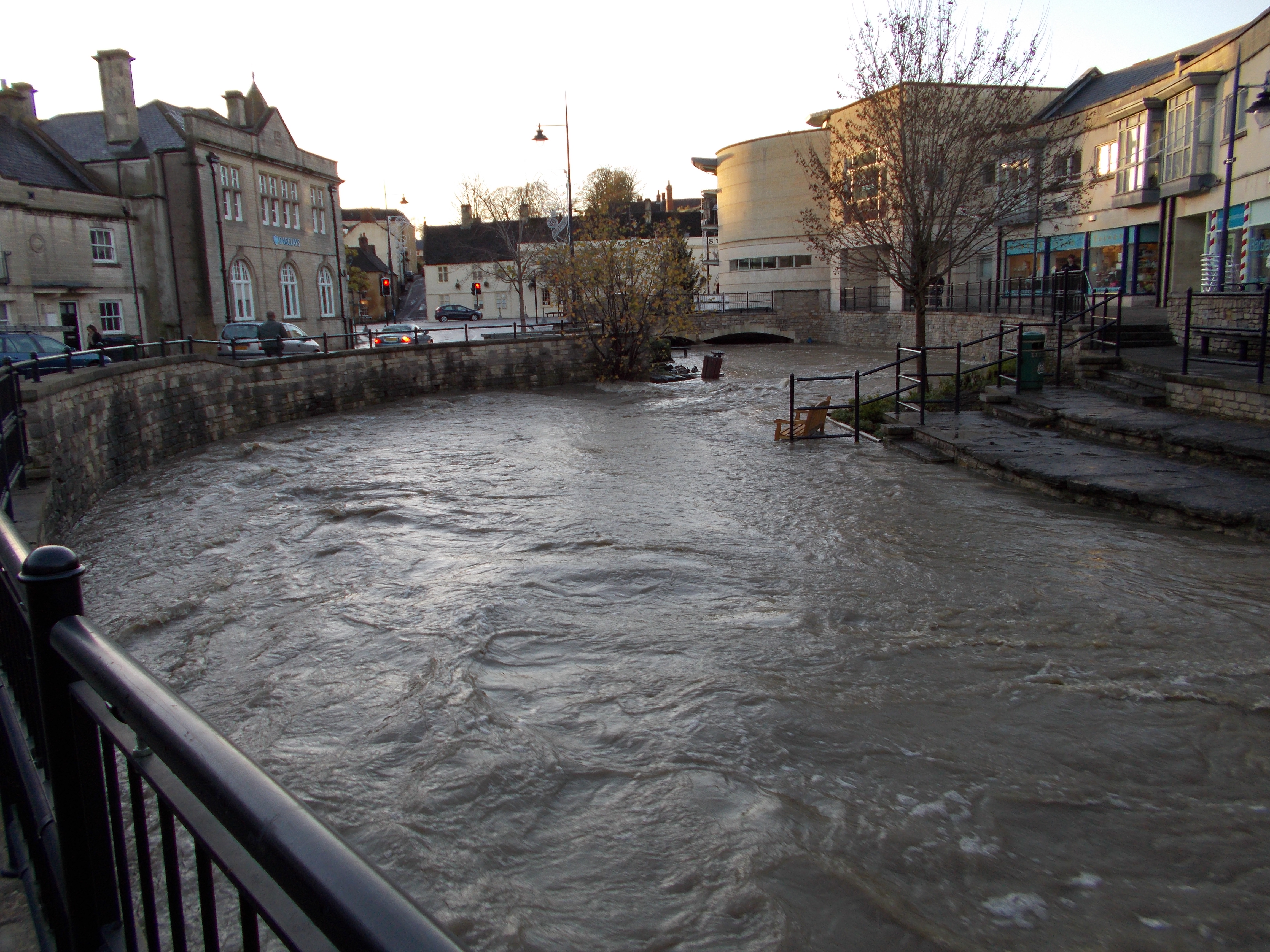
| 10:48, 25 July 2013 | Floods 2012.JPG (file) |  |
3.72 MB | Scheme holding up well to flooding in 2012 © NPA | 1 |
| 10:43, 25 July 2013 | Marden before upstream.png (file) |  |
167 KB | View upstream. Straightened channel with concrete weirs prior to restoration | 1 |
| 10:41, 25 July 2013 | Marden before.jpg (file) |  |
47 KB | View downstream. Marden entering the culvert prior to restoration | 1 |
| 10:38, 25 July 2013 | Marden schematic.jpg (file) |  |
124 KB | Plan of the restored reach of the River Marden ©RRC | 1 |
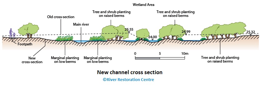
| 14:00, 17 July 2013 | Alt newchannelXsection.jpg (file) |  |
62 KB | New cross section of River Alt floodplain and braided channels ©RRC | 1 |
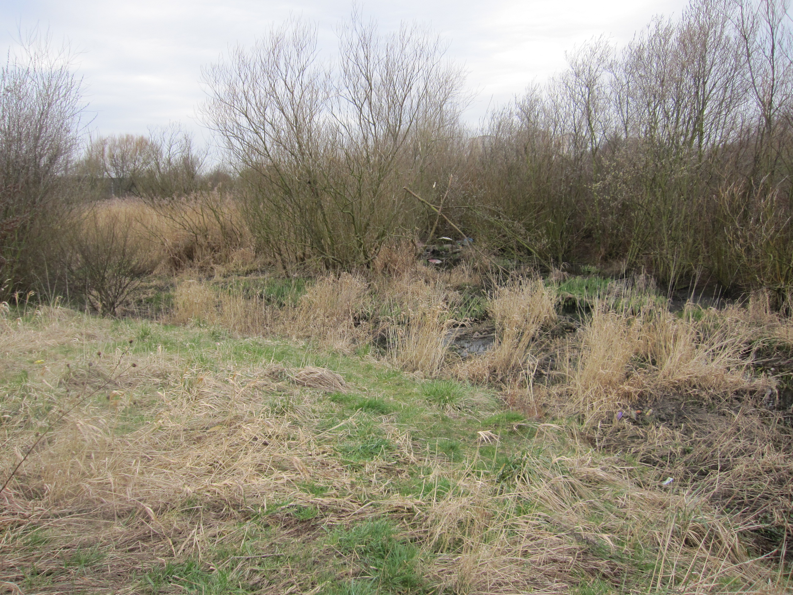
| 12:40, 17 July 2013 | Prior to works.jpg (file) |  |
202 KB | Alt at this location prior to works | 1 |
| 12:38, 17 July 2013 | Sept 2012.jpg (file) |  |
965 KB | Channel in September 2012 demonstrating some issues with urban litter ©Environment Agency | 1 |
| 12:32, 17 July 2013 | March 2012 comparative photo.JPG (file) |  |
2.13 MB | One of the choked braided side channels - March 2012 ©Environment Agency | 1 |
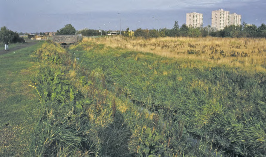
| 12:30, 17 July 2013 | 2012Nov23 Woolfall H Reedbed area cropped.jpg (file) |  |
713 KB | Floodplain area in November 2012 ©Environment Agency | 1 |
| 12:27, 17 July 2013 | Vegetation structure.jpg (file) |  |
278 KB | A diverse vegetation structure has developed | 1 |
| 12:26, 17 July 2013 | Vegetated channel.jpg (file) |  |
214 KB | Channel threads vegetated up | 1 |
| 12:26, 17 July 2013 | Excavated flooplain area.jpg (file) |  |
412 KB | Newly excavated floodplain area | 1 |
| 12:05, 17 July 2013 | Bay 2 down stream 8 01.jpg (file) |  |
260 KB | Bay 2 in May 2012. This bay is not heavily vegetated. ©DARDNI | 1 |
| 12:01, 17 July 2013 | Aerial 1998.jpg (file) |  |
285 KB | Aerial photograph showing donstream bays after two years. Bay 2 has started to vegetate up - 1998 ©DARDNI | 1 |
| 11:45, 17 July 2013 | Bay 2 2006.JPG (file) |  |
1.19 MB | Bay and cascade - 2006 ©DARDNI | 1 |
| 11:40, 17 July 2013 | TallRiver 2006.jpeg (file) |  |
1.19 MB | Bays and stone cascade - 2006 ©DARDNI | 1 |
| 16:23, 16 July 2013 | Bank erosion April 2008.JPG (file) |  |
778 KB | Erosion of the coir matting - April 2008 ©BTO | 1 |
| 16:22, 16 July 2013 | Vegetated banks Dec 2005.jpg (file) |  |
829 KB | New approach - initial vegetation growth on pre-seeded coir matting installed to stabilise the bank. December 2005. ©BTO | 1 |
| 16:21, 16 July 2013 | Clay bank breach 2004.JPG (file) |  |
700 KB | Breach of the reinforced clay bank following high flows in 2004 ©BTO | 1 |
| 16:20, 16 July 2013 | Clay bank 2002.JPG (file) |  |
944 KB | Bank reinforced using blue clay - October 2003 | 1 |
| 16:18, 16 July 2013 | Breach 2002.jpg (file) |  |
1.9 MB | Main breach of meander bend following high flows in 2002 ©BTO | 1 |