File:Flood risk management interpretation board.JPG: Difference between revisions
Jump to navigation
Jump to search
Amcdonald04 (talk | contribs) (This board sits next to the new wetland area at Ellis Meadows and gives an overview of the work to manage flood risk in the area.) |
(No difference)
|
Latest revision as of 14:23, 24 January 2017
This board sits next to the new wetland area at Ellis Meadows and gives an overview of the work to manage flood risk in the area.
File history
Click on a date/time to view the file as it appeared at that time.
| Date/Time | Thumbnail | Dimensions | User | Comment | |
|---|---|---|---|---|---|
| current | 14:23, 24 January 2017 | 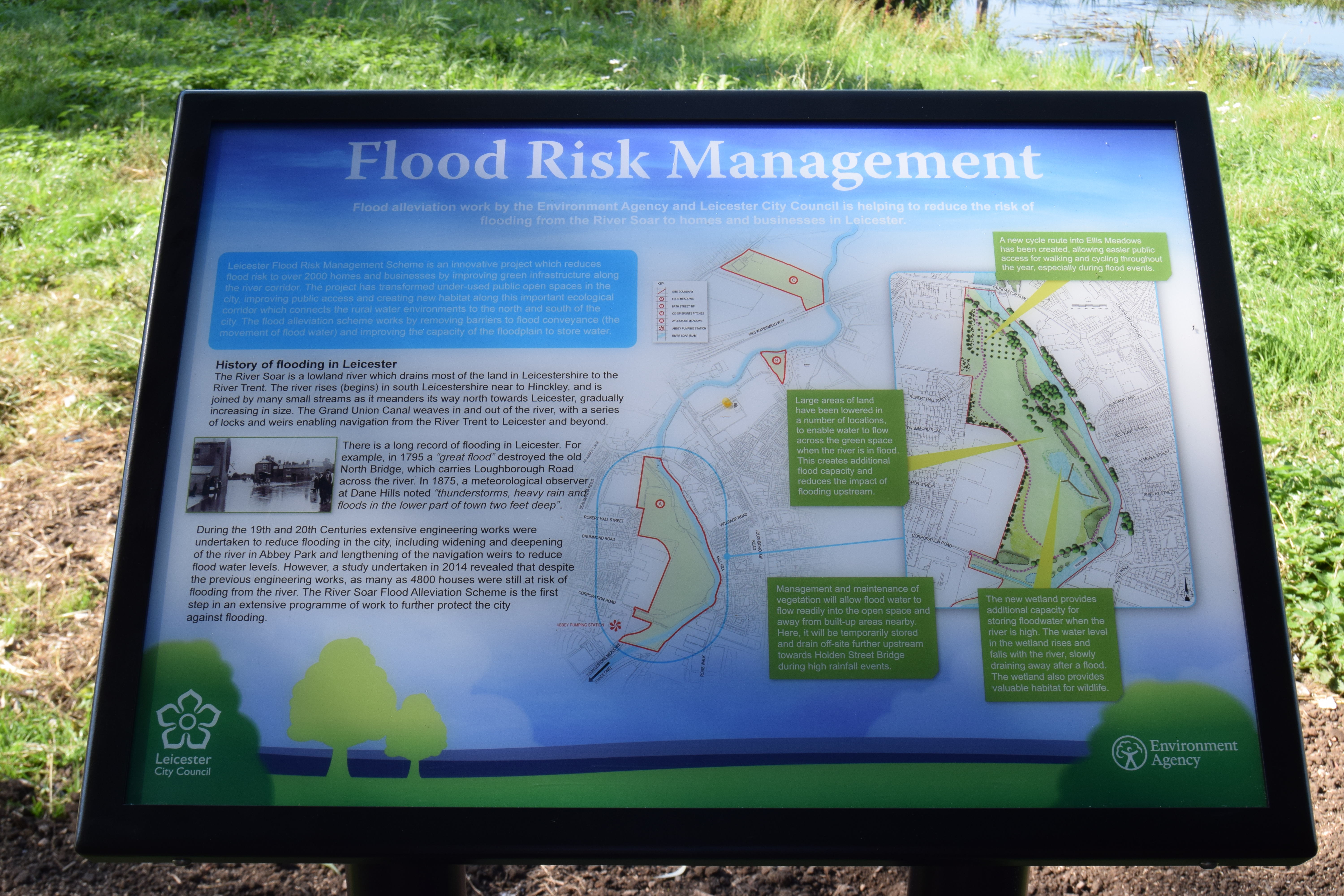 | 6,000 × 4,000 (12.2 MB) | Amcdonald04 (talk | contribs) | This board sits next to the new wetland area at Ellis Meadows and gives an overview of the work to manage flood risk in the area. |
You cannot overwrite this file.
File usage
There are no pages that use this file.