File:Chiswick EastBurrows snapshot2.jpg: Difference between revisions
Jump to navigation
Jump to search
(Detail of a scan of part of the bank. The equipment used was a Leica P40 laser scanner with a differential satellite positioning system. A scan was made of the entire island which will be compared to a scan to be made next year (2017).) |
(No difference)
|
Latest revision as of 08:07, 27 February 2016
Detail of a scan of part of the bank. The equipment used was a Leica P40 laser scanner with a differential satellite positioning system. A scan was made of the entire island which will be compared to a scan to be made next year (2017).
File history
Click on a date/time to view the file as it appeared at that time.
| Date/Time | Thumbnail | Dimensions | User | Comment | |
|---|---|---|---|---|---|
| current | 08:07, 27 February 2016 | 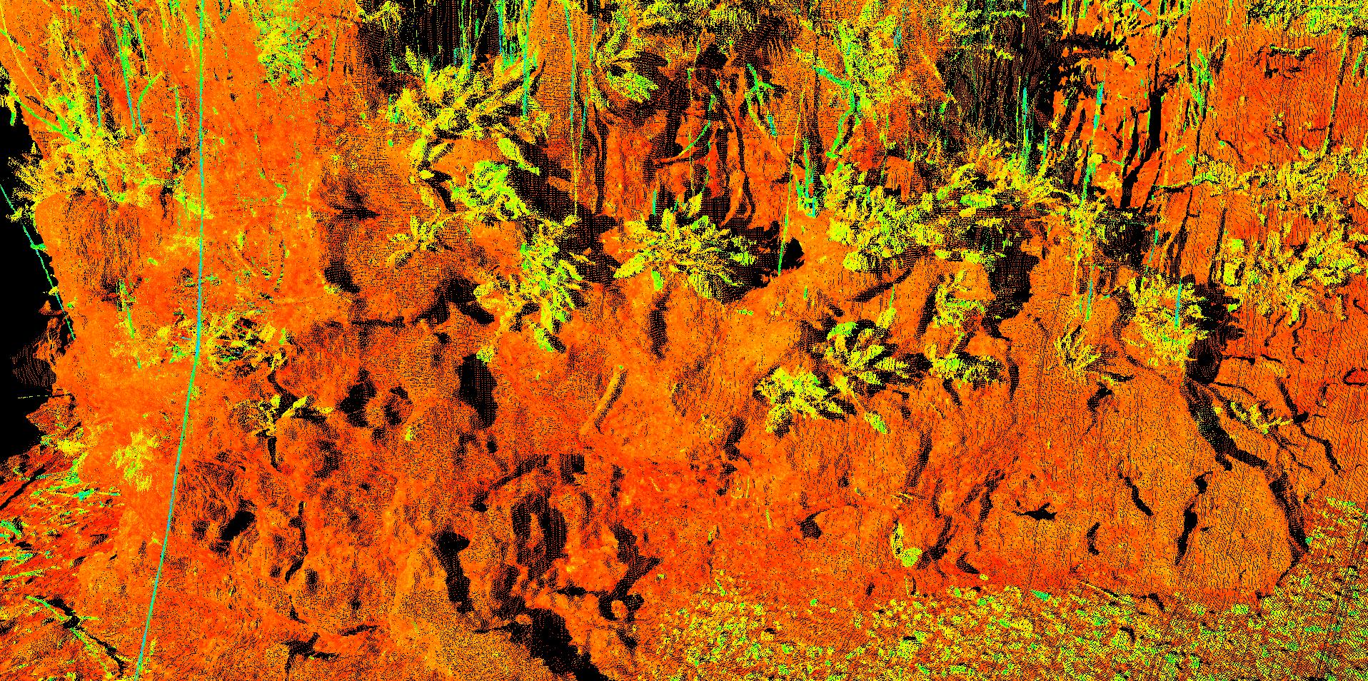 | 1,916 × 954 (1,019 KB) | Mobilitydream (talk | contribs) | Detail of a scan of part of the bank. The equipment used was a Leica P40 laser scanner with a differential satellite positioning system. A scan was made of the entire island which will be compared to a scan to be made next year (2017). |
You cannot overwrite this file.
File usage
There are no pages that use this file.